Download
1 / 12
120 likes | 228 Views
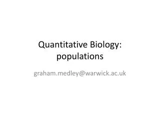
EEOS 350: Quantitative hydrogeology. Lecture 2 Water balance. The Hydrologic Cycle. Fluxes (flows) Stocks (storage). Source: www.cet.nau.edu/Projects/ SWRA/research.html. Control Volume (CV). For mass (or water) balance analysis, need to establish the size (scale) of the problem.

E N D
EEOS 350: Quantitative hydrogeology Lecture 2 Water balance
The Hydrologic Cycle Fluxes (flows) Stocks (storage) Source:www.cet.nau.edu/Projects/ SWRA/research.html
Control Volume (CV) • For mass (or water) balance analysis, need to establish the size (scale) of the problem. • Need to be able to quantify the inputs and outputs that cross the CV boundaries and the storage terms within the CV. • For water balance, the CV = watershed. • What are the inputs and outputs that cross the boundaries of the CV?
Inflows 1. Precipitation (P) 2. Groundwater inflow (GWin) 3. Artificial import; e.g., pipes and canals (Hin) 4. Note: there is no Qin….the watershed is defined such that all Q is generated within the boundaries and flows through the outlet.
Outflows 1. Transpiration from plants (T) 2. Evaporation from surface water bodies (E) E+T=evapotranspiration (ET) 3. Runoff of surface water (Q) 4. Groundwater outflow GWout) 5. Artificial export (Hout), ie. export water from basin, i.e. Deer Island effluent.
Storage terms 1. Surface water bodies (lakes, rivers, wetlands) 2. Soil moisture in unsaturated zone 3. Ice and snow (significant storage term in northern climates in winter) 4. Depression storage (puddles, ephemeral wetlands) 5. Water intercepted by vegetation 6. Ground water below water table (saturated zone)
Water Balance Looking at just the natural water cycle (ignoring human components): inputs Change in storage outputs (At the watershed scale, we often assume that GWin = GWout)
Simplified Water Balance At an annual timestep (average of long-term yearly totals), we often assume that there is no change in storage: Under what conditions might this assumption be wrong?
P Q Computing an annual water balance for the Lamprey River Watershed area = 212 mi2 Catchment area for stream gage at Packers Fall = 183 mi2 Precipitation gage at Durham.
Water balance data • Annual precipitation from the Durham NH rain gage. • Dimensions: [L/T] • Units: inches per year (in/yr) • Streamflow from the USGS gage at Newmarket. • Dimension: [L3/T] • Units: cubic feet per second (cfs). all terms in the water balance must be in the same dimensions and units!! Now what?
Water balance computations • All water balance terms should be in [L3/T] • Time step is annual (by definition of our problem), so time unit = year. • Typical volume unit = ft3 or m3 or km3. • How do we convert Q from ft3/sec to ft3/yr? • How do we convert P from in/yr to ft3/yr? • First, let’s compute long-term average annual values for P & Q. Lamprey_P&Q.xls