Download
1 / 22
220 likes | 416 Views
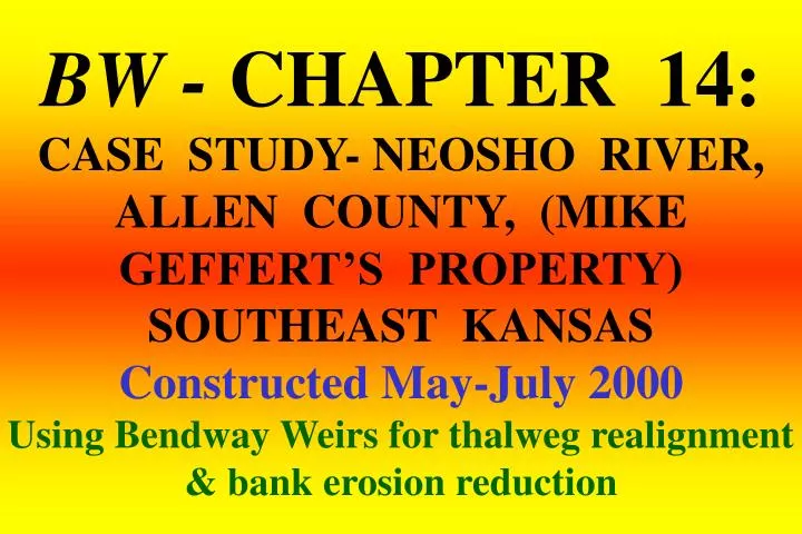
BW - CHAPTER 14: CASE STUDY- NEOSHO RIVER, ALLEN COUNTY, (MIKE GEFFERT’S PROPERTY) SOUTHEAST KANSAS Constructed May-July 2000 Using Bendway Weirs for thalweg realignment & bank erosion reduction. River is 260 ft wide Gravel-sand bed

E N D
BW - CHAPTER 14: CASE STUDY- NEOSHO RIVER, ALLEN COUNTY, (MIKE GEFFERT’S PROPERTY) SOUTHEAST KANSASConstructed May-July 2000Using Bendway Weirs for thalweg realignment & bank erosion reduction
River is 260 ft wide • Gravel-sand bed • Project is 2,200 ft long, Outer bank is 25 ft tall, it eroded 178 ft laterally in 6 years time • 11 Bendway Weirs, are all 70 ft long, spaced 210 ft apart & constructed of “shot rock”, 400 lb max. • First set of velocities (March 15, 2001) water was 6 ft over the weirs, second set of velocities (Mar 16, 2001) water was a measured 12 ft over the top of the weirs!! • Velocities were measured with floating oranges Neosho River Project Specifications
Pre-Project. Looking upstream at the near vertical eroded bank PRE-PROJECT-NEOSHO RIVER @ GEFFERT’S-PIX BY PHIL BALCH 8/25/99
Keyway for Bendway Weir doubling as a haul road. CONSTRUCTION-NEOSHO RIVER @ GEFFERT’S- PIX BY PHIL BALCH 5/23/00
Placing key stone in the keyway. CONSTRUCTION-NEOSHO RIVER @ GEFFERT’S- PIX BY PHIL BALCH5/23/00
Dozier pushing stone to form Bendway Weir #3. Note the thalweg is already being moved toward the center of the channel by the upstream weirs. CONSTRUCTION-NEOSHO RIVER @ GEFFERT’S- PIX BY PHIL BALCH 5/30/00
1 year later. Looking DS at the Neosho River on the flood 1 YEAR LATER-NEOSHO RIVER @ GEFFERT’S-PIX BY PHIL BALCH 5/01
2 years later. Looking US @ Bendway Weirs & stable bank 2 YEARS LATER-NEOSHO RIVER @ GEFFERT’S-PIX BY PHIL BALCH 9/2002
2 years later. Looking US at Bendway Weirs & stable bank 2 YEARS LATER-NEOSHO RIVER @ GEFFERT’S-PIX BY PHIL BALCH 9/2002
3 years later. Looking US at stable bank 3 YEARS LATER-NEOSHO RIVER @ GEFFERT’S-PIX BY PHIL BALCH 9/6/2003
HIGH WATER – LET’S GET SOME VELOCITIES(We have a sack of oranges & time on our hands)
The Thalweg left the bank a measured 200 ft US of BW#1 Neosho River, Allen County, Kansas 6 ft of water over weirs (estimated) Top water velocities within the weir field never exceeded 1.00 ft/second 2.72 2.79 0.33 BW #3 1.03 The Thalweg hit the bank a measured 150 ft DS of BW#11 2.04 0.60 Data collected March 15, 2001 1.61 BW #7 Mini case study: 1 of 3 BW #11
Looking US at weirs at low water on the Neosho River, KS. This is not when the velocity data was taken. Mini case study: 2 of 3
Neosho River, Allen County, Kansas 12 ft of water over weirs (measured) Top water velocities within the weir field never exceeded 3.00 ft/second 4.64 4.54 BW #3 2.63 4.97 4.07 2.92 6.08 Data collected March 15, 2001 6.47 BW #7 2.88 Mini case study: 3 of 3 BW #11
SINCE PROJECT CONSTRUCTION THE RIVER HAS BEEN OUT OF BANK SEVERAL TIMES - IN JULY 2007 THE RIVER EXPERIENCED THE 100 YEAR FLOOD
7 years later. Looking US. Note deposition between weirs. 7 YEARS LATER-NEOSHO RIVER @ GEFFERT’S-PIX BY PHIL BALCH 11/9/2007
8 years later. After a 100 year flood. Looking US @ the Bendway Weirs & snow AFTER A 100 YEAR FLOOD-NEOSHO RIVER - PIX BY DERRICK 12/11/2008
8 years later. After a 100 year flood. Looking DS @ the Bendway Weirs AFTER A 100 YEAR FLOOD-NEOSHO RIVER - PIX BY DERRICK 12/11/2008
8 years later. After a 100 year flood. Looking DS @ lower end of the bend AFTER A 100 YEAR FLOOD-NEOSHO RIVER - PIX BY DERRICK 12/11/2008
8 years later. After THE 100 YEAR FLOOD. Looking DS. Erosion has laid the bank back to a stable angle. Note how flat the bank is at the toe AFTER A 100 YEAR FLOOD-NEOSHO RIVER - PIX BY DERRICK 12/11/2008
After a 100 year flood. Looking DS. Large Woody Debris is indicative of slower velocities & good for aquatic habitat. AFTER A 100 YEAR FLOOD-NEOSHO RIVER - PIX BY DERRICK 12/11/2008
This PowerPoint presentation was developed & built by Dave Derrick. Any questions or comments, call my personal cell @ 601-218-7717, or email @ d_derrick@r2d-eng.comEnjoy the information!!