Download
1 / 11
110 likes | 215 Views
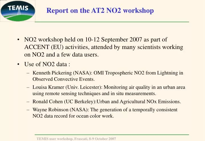
Report on the AT2 NO2 workshop. NO2 workshop held on 10-12 September 2007 as part of ACCENT (EU) activities, attended by many scientists working on NO2 and a few data users. Use of NO2 data : Kenneth Pickering (NASA): OMI Tropospheric NO2 from Lightning in Observed Convective Events.

E N D
Report on the AT2 NO2 workshop • NO2 workshop held on 10-12 September 2007 as part of ACCENT (EU) activities, attended by many scientists working on NO2 and a few data users. • Use of NO2 data : • Kenneth Pickering (NASA): OMI Tropospheric NO2 from Lightning in Observed Convective Events. • Louisa Kramer (Univ. Leicester): Monitoring air quality in an urban area using remote sensing techniques and in situ measurements. • Ronald Cohen (UC Berkeley):Urban and Agricultural NOx Emissions. • Wayne Robinson (NASA): The generation of a temporally consistent NO2 data record for ocean color work.
Ken Pickering – NASA Goddard Level 2 OMI Tropospheric NO2 Cloud Cover This analysis uses OMI tropospheric NO2 to obtain estimates of LNOx production in specific convective events over the Central USA. 1.64 +/- 0.617 x 10⁶ moles NO2 Retrieval with AMF for anvil outflow and background subtraction
Louisa Kramer (University of Leicester) Satellites In situ Ground based remote sensing
Ron Cohen (UC Berkeley) • NO/NO2 photostationary state is likely a more accurate way to calculate surface NO2 from the monitoring network than using a model of NOz . • OH and NO2 are strongly coupled on spatial scales of a single OMI/SCIA/GOME-II pixel. • Day of week can teach us a lot about sources and the quality of retrievals—since some factors are not strongly correlated with day of week; AMFs, stratosphere, etc. • Seasonal variations provide strong hints about soil emissions.
Wayne Robinson (NASA-GSFC):NO2 Effects on Ocean retrievals Sensitivity of Water-leaving radiance and Chlorophyll retrievals to NO2 15 Stratospheric NO2 Tropospheric NO2 NO2 absorption 10 Chlorophyll 5 % Change(for 5 X 10¹⁵ molecule NO2 change) 412 443 488 530 550 670 0 Water-leaving radiance -5 400 500 600 700 Wavelength (nm) Recent work has shown importance of NO2 in ocean color retrievals (Ahmad et. al., 2007, Robinson et. al., 2007)
Wayne Robinson (NASA-GSFC): Temporal trend results: before correction
Wayne Robinson (NASA-GSFC): Temporal trend results: after correction
Summary • Modifications to the NO2 data are possible to create more consistent NO2 record for ocean work • Latitudinal modification • Non-linear fit • Some differences remain and seasonal changes not examined
Tropospheric NO2 measured by satellites— closing remarks — • Retrieval of trop NO2 has evolved considerably over the past eleven years • Large differences remain • In spite of that, trop NO2 is used successfully in many applications • Much more data is available with OMI and now also GOME-2 • We want to understand the differences, in order to: • improve the retrieval • know how we can use the data in applications • Estimate uncertainties and their characteristics • optimise future satellite missions
Tropospheric NO2 measured by satellites— Main recommendations and follow-up activities — • Intercomparison of different retrieval methods. Objective: to understand and quantify the effect of the different retrieval choices on trop NO2 values and accuracies. Organisation: • Slant columns: retrieval groups • Final product, incl AMFs: Ron Cohen • Need for high spatial resolution input of surface albedo, aerosol, clouds, surface pressure/terrain height into the retrieval • Validation campaign to assess the accuracy of (mini-) MAXDOAS and NO2 lidar. This should include accurate in-situ tropospheric profiles, which we don't have yet! (Folkard Wittrock / Ankie Piters)
Tropospheric NO2 measured by satellites— Main recommendations and follow-up activities — • Make all validation data easily accessible • Provide harmonized NO2 data sets based on existing networks (GEOMON) • Recommend use of remote sensing instruments (e.g. MAXDOAS) in existing airquality networks. • Provide Averaging Kernel in satellite products and make use of it • Better assess uncertainty in top-down emission estimates(uncertainties both due to model and retrieval errors).Investigate implications of limited model resolution, e.g. onNO2-OH coupling relevant for NO2 lifetime • Exploiting the higher spatial resolution possible with OMI (down to 5km)