Download

1 / 10

E N D
1. Settlement Patterns on the Holland Land Purchase Proposal for MGIS Capstone Project
by David Watkins
July 18, 2007
2. Background Western NY
Holland Land Company
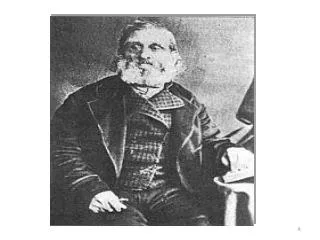
Joseph Ellicott
Very few Europeans in the area
First Land sales in 1799
5. Township 12 Range 5 & 6
6. Sources of Data Karen Livsey book
Holland Land Company records
Maps
Annual Reports
Correspondence
County Deed records
History books
7. Entries from Karen Livsey book
8. Project Proposal
Using the historic maps, create the required feature classes for counties, tracts, roads, townships, ranges, sections, lots, and parcels.
Using the data from the Holland Land Company sales offices record the original sale of each lot with the name of the owner, location, price, down payment, and acres and assign these attributes to the appropriate record in the �parcels� feature class.
Create a map of townships showing the earliest purchase in each.
For each township that had a purchase made between 1799 and 1807, create a map showing the parcels sold by date with purchaser�s name.
9. Project Proposal cont�d Attempt to determine which parcels were sold to non-residents (speculators)
Conduct spatial analyses of the parcels sold between 1799 and 1807 to determine relationships to the following factors:
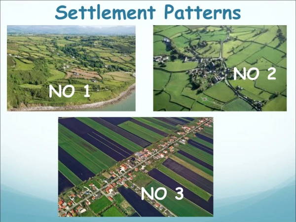
Lowland Plains in the north vs Hills in the south
Proximity to a saw or grist mill
Proximity to a major road
Proximity to market
Townships offered at wholesale vs smaller parcels
Trend � East to west?�
10. Scope:
Limit the detailed parcel work to those parcels sold prior to January 1, 1811.
Limit the scope to original sales only.
11. References: Pioneer History Of The Holland � Purchase of Western New York Orsamus Turner. Jewett, Thomas, & Co., 1849
The �Market� in the Early Republic, James A. Henretta, in Journal of the Early Republic, Vol. 18, No.2, (Summer 1998), pp 289-304
Land Subdivision on the Holland Purchase in western New York State, 1797-1820. William Wyckoff, in Journal of Historic Geography, 12, 2, (1986:Apr.), pp 142-161
History of the City of Buffalo and Erie County, With Illustrations and Biographical Sketches of its Prominent Men and Pioneers. H. Perry Smith, editor, Syracuse NY, D. Mason & Co, Pub., 1884