Download
1 / 19
190 likes | 195 Views
Join the ADMI workshop at Elizabeth City State University to learn about cloud computing and gain competence in implementing algorithms in the cloud. Also, discover the solution for field data accessibility using SpatiaLite database.

E N D
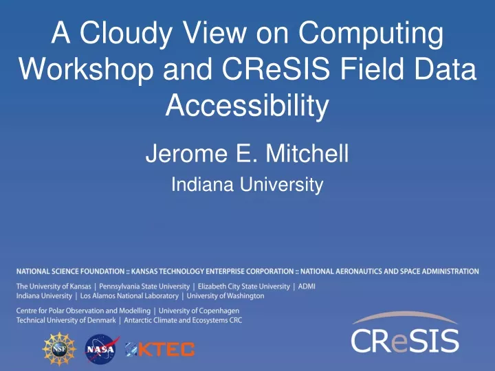
A Cloudy View on Computing Workshop and CReSIS Field Data Accessibility Jerome E. Mitchell Indiana University
Workshop Details • Who: • > 10-12 Association of Computer/Information Sciences and Engineering Departments at Minority Institutions (ADMI) faculty/students • Where: • Elizabeth City State University (ECSU) • When: • June 7 - July 5 2011 • What: • A Teach - One - Teach - Many approach to cloud computing • Preliminary discussion on workshop at ADMI 2011 Conference (April 14-16, 2011)
Workshop Purpose • Introduce ADMI to the basics of the emerging Cloud Computing paradigm • Learn how it came about • Understand its enabling technologies • Understand the computer systems constraints, tradeoffs, and techniques of setting up and using cloud • Teach ADMI how to implement algorithms in the Cloud • Gain competence in cloud programming models for distributed processing of large datasets. • Understand how different algorithms can be implemented and executed on cloud frameworks • Evaluating the performance and identifying bottlenecks when mapping applications to the clouds
Workshop Components What we are trying to answer? What are its challenges and opportunities? What is Cloud Computing? How does Cloud Computing work? Why Cloud Computing?
Workshop Schedule End of First Week Now I understand Cloud Computing Parallel Processing T i me I i ne Programming Model Functional Programming Now I appreciate why Cloud Computing is important Map /Reduce Used by End of Third Week CGL’s implementation Apache’s implementation Parallelized by Twister Algorithm Now I really understand Cloud Computing! Hadoop End of Fifth Week
Compute Resources • FutureGrid • Virtual machines + virtual networking to create sandboxed modules • Virtual“Grid” appliances: self-contained, pre-packaged execution environments • GroupVPNs: simple management of virtual clusters by students and educators
References • D. Wolinsky, A. Prakash, and R. Figueiredo. Experiences with Self-Organizing, Decentralized Grids Using the Grid Appliance. • J. Ekanayake, H. Li, B. Zhang, T. Guanarathne, S. Bae, J. Qiu, and G. Fox. Twister: A runtime for iterative MapReduce. In Proceeding of the 19th ACM International Symposium on High Performance Distributed Computing, pages 810 – 818. ACM, 2010. • Apache Hadoop, Retrieved Aug 20, 2010, from ASF: http://hadoop.apache.org/core/ • FutureGrid: futuregrid.org
Current CReSIS Data Organization • CReSIS’s data products website lists • direct download links for individual files • The data are organized by season • Seasons are broken into data segments • Data segments are arranged into frames • Associated data for each frame are stored in different file formats • CSV (flight path) • MAT (depth sounder data) • PDFs (image products) • File-based data system has no spatial data access support
Field Data Spatial Access Project We are developing a solution based on SpatiaLite database with neither server nor Internet requirements, ideal for field use
SpatiaLite Database • Spatialite • Spatial extension to the light-weighted SQLite database • Manages both vector and raster data and supports a rich set of GIS analysis functions through SQL. • The data can be directly accessed through GIS software and MATLAB
SpatiaLite Database Example • 2009 Antarctic flight path data • ~ 4 million entries - originally stored as 828 separate files and imported into one SpatiaLite database file
Field Data Access Service 2009 Antarctica Season Vector Data Visual Crossover Analysis for Quality Control (in development project)
SpatiaLite Database Example • Flight path data stored as YYYYMMDD_segID_frameID.txt • SQLite command to create the segs table: CREATE TABLE segs ( UTCTime Number, Thickness Number, Elevation Number, FrameID VARCHAR(12), Surface Number, Bottom Number, QualityLevel Integer) SELECT AddGeometryColumn ('segs','geometry',4326,'POINT',2) *note: geometry: 2 -> xy, (longitude, latitude), 4326 -> WGS84 coordinate system
SpatiaLite: MATLAB Direct Access • Mksqlite package: a MEX-DLL to access SQLite databases from MATLAB http://mksqlite.berlios.de/ • Add this flag to build.m to enable SQLite to load SpatiaLite as an extension: -DSQLITE_ENABLE_LOAD_EXTENSION=1 • Testing in MATLAB: dbid = mksqlite(0,'open', ‘test.sqlite' ) sql = ['SELECT load_extension(''', path_to_spatialite, ''')']; mksqlite(dbid, sql) % load extension mksqlite(dbid, 'SELECT sqlite_version()') mksqlite(dbid, 'SELECT spatialite_version()') mksqlite(dbid, 'SELECT X(geometry) as lon, Y(geometry) as lat from segs where FrameID=2009101601001'); mksqlite(dbid, 'close')
References • PolarGrid data products: https://www.cresis.ku.edu/data • SpatiaLite: http://www.gaia-gis.it/spatialite/ • Quantum GIS: http://www.qgis.org/