Download
1 / 48
500 likes | 668 Views
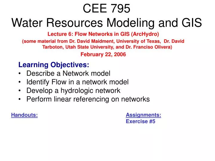
CEE 795 Water Resources Modeling and GIS. Lecture 6: Flow Networks in GIS (ArcHydro) (some material from Dr. David Maidment, University of Texas, Dr. David Tarboton, Utah State University, and Dr. Franciso Olivera) February 22, 2006. Learning Objectives: Describe a Network model

E N D
CEE 795Water Resources Modeling and GIS Lecture 6: Flow Networks in GIS (ArcHydro) (some material from Dr. David Maidment, University of Texas, Dr. David Tarboton, Utah State University, and Dr. Franciso Olivera) February 22, 2006 Learning Objectives: • Describe a Network model • Identify Flow in a network model • Develop a hydrologic network • Perform linear referencing on networks Assignments: Exercise #5 Handouts:
Hydro Networks in GIS • Network model • Flow on Networks • Hydrologic networks • Linear referencing on networks Some slides in this presentation were prepared by Dr Francisco Olivera
National Hydrography Dataset Key feature classes Five feature classes with NHDFLowline built into A geometric network NHDPoint, NHDLine, NHDArea are point, line and area water features on map apart from flowlines and waterbodies
Arc Hydro Framework Input Data Watersheds Waterbody Streams Hydro Points
Arc Hydro Framework Data Model
Arc Hydro Framework For South Florida Basins Waterbody (NHD) Hydro Points Hydro Network (NHD)
Network Definition • A network is a set of edges and junctions that are topologically connected to each other.
Network Model in GIS • Three components • Geometric model: (x,y,z,m) coordinates of edges and junctions • Logical model: which edges are connected to what junctions • Addressing model: location on the network using measure
Edges and Junctions • Simple feature classes: points and lines • Network feature classes: junctions and edges • Edges can be • Simple: one attribute record for a single edge • Complex: one attribute record for several edges in a linear sequence • A single edge cannot be branched No!!
Junctions • Junctions exist at all points where edges join • If necessary they are added during network building (generic junctions) • Junctions can be placed on the interior of an edge e.g. stream gage • Any number of point feature classes can be built into junctions on a single network
Connectivity Table p. 132 of Modeling our World J125 Junction Adjacent Junction and Edge E2 J124 E3 E1 J123 J126 This is the “Logical Network”
Build Network Tables • Establishes connectivity of Edge and Junction features • Enables tracing • Generates Generic Junctions Geometric Network Wizard in ArcCatalog
Network Sources and Sinks Each junction feature class in a network can have junctions which are sources or sinks for flow
Flow Line Traces movement of water in a one-dimensional flow system
Introduction to the Hydro Network • Hydro Edge – think of Arc • HydroJunction – think of Node • Waterbody – think of Polygon
Edge Junction Flow Network A connected set of flow edges
Connecting Drainage Areas using Relationships
Connecting Drainage Areas to the Network Area goes to point on line
Linear Referencing Where are we on a line?
My Streams are really long… Use ReachID to link many Hydro Edges together into one River
Proportional Aliasing Distance is measured Relative to the length of the line as a percentage 0% – 100%
Setting Percent Measure pMSeg.SetAndInterpolate MsBetween 0, 100 pMSeg.SetAndInterpolate MsBetween 100, 0 0 – 100 going downstream 0 – 100 going upstream
0% Percent distance from bottom end of reach 100%
Measure in kilometers Measure in km from bottom end of line (like river miles or Kilometers) pMSeg.SetAndInterpolateMsBetween 0, ([Shape_Length] /1000)