Download
1 / 14
150 likes | 435 Views
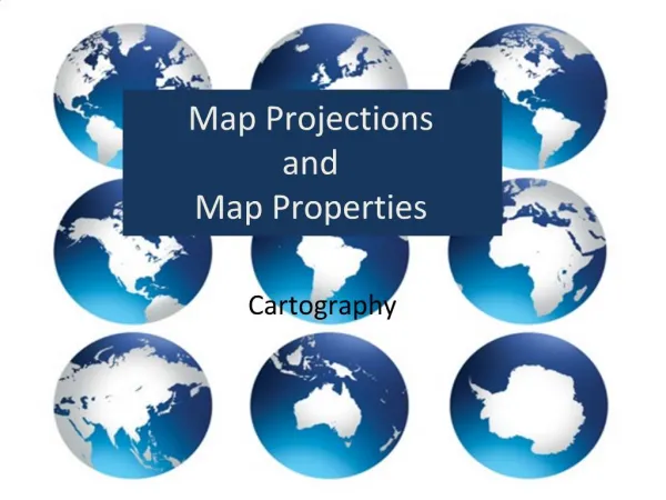
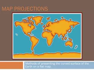
Map Projections and the RING OF FIRE. What is a projection?. It is difficult to translate a spherical GLOBE onto a flat MAP. Over the years, cartographers (map-makers) have found a few different ways to do it.

E N D
What is a projection? • It is difficult to translate a spherical GLOBE onto a flat MAP. Over the years, cartographers (map-makers) have found a few different ways to do it. • We call these different ways of turning a globe into a map PROJECTIONS because often they are done by using a light to project the globe onto a flat surface.
Cartography • Cartography is the science and art of graphically representing a defined geographical area by means of a map. • Cartography is the art of translating the spherical globe onto a flat map so there is the least amount of distortion • All projections distort certain areas of the map. This has been a contentious issue for centuries. Which areas should be the biggest? Which part of the globe should be in the center? At the top? • However, many maps are created to solve practical problems
Mercator Projection • Pros: The ONLY projection in which a line drawn in a certain direction on the map is really that way on the Earth’s surface. • Cons: The size of land near the poles is MUCH bigger than it really is (Greenland is as big as Africa).
Equal Area Projection • Excellent with size/shape • Bad w/ direction & distance • Ugly! Splits in map = “interruptions”
Robinson Projection • Compromise b/t size and shape • More accurate overall representation • Golden map for most geographers
Dymaxion Projection • Made by Buckminster Fuller, one of my heroes. Doesn’t distort any part of the globe. Shows all the continents as one “island of all humanity” surround by one global ocean.
Latitude and Longitude Latitude (FLATitude) • Runs East-West. • Lines never meet. • Lines of latitude are always the same distance apart from each other • Can be found with a compass. The compass was invented by the Chinese in the 1300’s Longitude • Runs North-South. • All lines meat at North and South poles. • Lines of longitude are farthest apart at the equator, and closer together near the poles. • Took explorers and sea captains hundreds of years to figure out how to find latitude. An accurate clock is needed. Or, a sextant can be used (very difficult)
Using Latitude and Longitude • For LONGITUDE, the prime meridian is 0 and passes through Greenwich, England. • Going East or West, lines of Longitude increase until 180 degrees which is the International Date Line. • For LATITUDE, the equator is 0 and is exactly halfway between the North and South poles. • Going North or South, lines of Latitude increase to 90 degrees which is the pole. A point on the earth is always listed Latitude, Longitude. For example: Denver, CO is 39 degrees N, 104 degrees W
Now, it is your turn. Graph the Volcanoes on your own map using latitude and longitude
Reading p. G7 – G11 • Answer questions on activity sheet
Exit Slip • 1: Name one state in the USA are that is most likely to have a volcanic eruption. • 2: What is an advantage and a disadvantage to the Mercator projection?