Download
1 / 33
330 likes | 336 Views
Join NEKSUN, the coordinating organization for APRS in KS, KC, and MO, to learn about APRS and how it can be used for emergencies and drills. Find out what software and hardware you need and get valuable information about the existing APRS network.

E N D
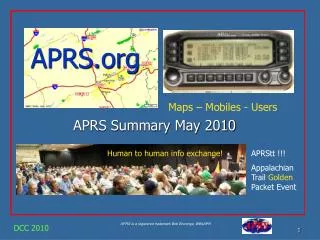
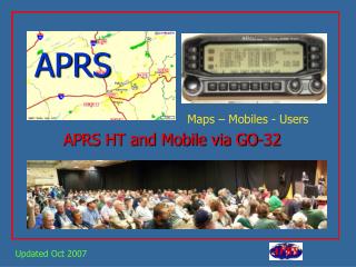
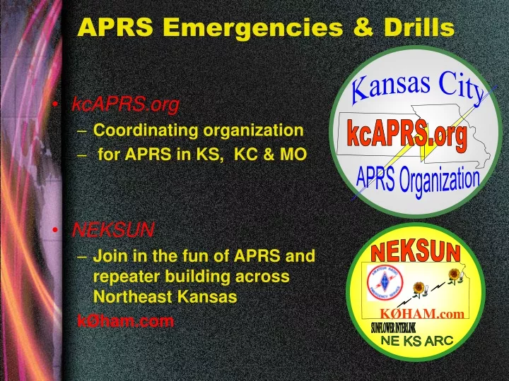
NEKSUN KØHAM.com SUNFLOWER INTERLINK NE KS ARC APRS Emergencies & Drills Kansas City • kcAPRS.org • Coordinating organization • for APRS in KS, KC & MO • NEKSUN • Join in the fun of APRS and repeater building across Northeast Kansas kØham.com kcAPRS.org APRS Organization
Why We Are Here • What is APRS? • What software should I use? • What Hardware should I use? • What do I need to know about the existing APRS network? • How can I use APRS for Emergencies? • How can I use APRS for Drills?
What is APRS • Automatic Position Reporting System (previoulsy Automatic Packet Reporting System) • Packet communication protocol for sharing live data on a network in real time • Real time tactical communications and display system for emergencies and public service applications (APRS Spec)
How is APRS different from Packet Radio? • Communication is ‘one to many’ • Uses generic digipeating with standard aliases • Supports intelligent digipeating to reduce network flooding • Uses UI frames for messaging, bulletins and announcements • Provides maps and other features
Frequencies • VHF • Primary (Digis): 144.39 1200 baud • Secondary: 144.39 1200 baud • UHF • Primary (Digis): 446.175 1200 baud • Secondary: 441.175 1200 baud • HF • 30M 10.15151 LSB 300 baud
Emergency Operations • What do you need 2B a good Emergency Operator? • INCLUDING SAR • Detailed Map • May be deployed to unfamiliar territory. • Latest WX info from the NWS • Need to see Watches & Warnings • Radar • Field Observations • Need to see temperature & wind all around • See other spotters • Need to know where all field units are deployed • Objects • Indicate damage or roadblocks on a map for all to see • List of Shelter Locations • Short Messaging • Communicate more confidential info to EOC or field units • Email capability • Need to be able to send short messages to internet users
APRS Data Types • Station Beacons • Contain call, location, symbol, status, time, speed, alt. vector • Wx beacons add wx info • Objects • Created by an APRS as an icon • Contains same data as beacon • Can be moved and adopted by other APRS stations • Messages • Short Text (<68 char) between two stations in 4 ways • Station to Station direct or via digi • Station to Station via TCPIP • RF station to Internet Station • RF station to email recipient
APRS Emergency Operations • On Demand Station Types • Internet Client • Internet Website • Base • Mobile • Tracker • Existing Infrastructure • Igate • Digi
Internet Client • Using a software client like UI-View • Can see all APRS station & beacon info • Can send beacons & msgs if setup with a local IGATE + Avoids having another radio in the EOC Avoids interference with other VHF radios Good Mapping & weather integration - Requires good internet connectivity
Internet Website • Using a webpage like findu.com or aprsworld.net • Can see all APRS station & beacon info • Can send beacons & msgs if setup with a local IGATE + Avoids having another radio in the EOC Avoids interference with other VHF radios Good Mapping & weather integration No APRS software installation required - Requires good internet connectivity No abililty to send objects, beacons, or messages
Base • Uses a TNC & Radio & PC to Send & Receive & display data • Software Client (like UI-View) displays info seen on a Map • May also connect to internet to see more stations nationwide or act as an IGATE • Can act as a fill in digi (set tnc myalias to wide1-1)
Mobile Uses a TNC & Radio & PC to Send & Receive & display data • Software Client (like UI-View) displays info seen on a Map • May also connect to internet (via wi-fi) to see more stations nationwide or act as an IGATE • Can act as a fill in digi (set tnc myalias to wide1-1)
Tracker • Uses Transmit TNC and Radio • Only sends position for that particular TNC & Radio • Cannot see other APRS users • May be used on Canteens or other unmanned resources
Infrastructure • IGATES • Can be home users or dedicated stations • Use Radio, TNC and Internet connection • Sends all RF data to Internet Servers • Sends SELECT Internet Data to RF (Bandwidth Constrained) • DIGIS • Located at high locations throughout the area • Respond to Wide1-1, Wide2-2, Wide3-3 • Respond to their own call for specific routing
Mobile Path • Metro Example: • APRS V WIDE1-1,WIDE2-1 (2 hops) or • Non-Metro Example: • APRS V WIDE1-1, WIDE2-2 (3 hops) Home (Fixed) Path • Metro Example: • APRS V WIDE2-2 • Non-Metro Example: • APRS V WIDE3-3 or • APRS VIA K0XYZ, WIDE2-2
UI-View 32 Solution Detailed Map: Show world Map Zoom full in Show Search capability Address, County, State, Phone, Mile Marker, Call Show Overlays (Spotter Locations) Show Underlays (Aerial Photos) Show UI-Terra
UI-View 32 Solution Latest WX info & Observations: Show UI-NWS Show active colored counties Click for details Show finger wx_srv Show Field Wx Station observations
UI-View 32 Solution Messaging: Show sending a message direct Show sending a message via digi Show sending a message via internet Show sending an email message
UI-View 32 Solution Tracking & Zooming: Show Auto Track (Cross Hairs and Track zoom) Show UI-Height Track With Height based color Show movement alarm Show UI-History Show FindU Log Converter Show FCC server
UI-View 32 Solution Objects: Show moving object Show UI-Signpost Show inactive object Difference between objects & overlays Show Objects list
Hardware Getting on the Air with APRS – What to Buy/Scrounge • Base station requirements • 2 meter radio and antenna • Desktop computer • TNC or soundcard/interface • Mobile station requirements • 2 meter radio and antenna • Variables
Mobile/Portable Variables • Mobile-Track & View • GPS • Laptop • TNC • Mobile-Tracking Only • GPS • Tiny Track, or Tracking TNC • Portable-Tracking Only • GPS • Tracker interface device • Power source for portability
Hardware • Computers for UI-View • Pentium II, 128mb 3gb avail, minimum • Faster PC=Faster Map refresh • Consideration for a TNC with GPS • 2 serial ports are needed (Unless KPC3+) • If only 1 serial port is available, can use a “Port sharing” device • Any TNC will do with fixed location and a PC attached.
Hardware • Kantronics KPC-3+ • Supports single PC Serial Port Tracker • Supports UI Flood Protocol • Current Version is 9.0 • Simple Mobile Operation • Cost $189
Hardware • Kantronics KPC-3 • Good for Home use • Version 8.2 Supports UI Flood Protocol • Average cost used: $80
Hardware • KPC-2, KAM, MFJ, others • Good for Home use • Low cost • Check http://swap.qth.com/ for deals
Hardware Self Contained Tiny Trak III kit ($30) http://www.byonics.com/tinytrak/index.html Pocket Tracker Kit: ($89) http://www.byonics.com/pockettracker/ A self-contained tracking/telemetry module ALSO Includes the RADIO!
Hardware Self Contained Kenwood TM-D700 ($489) Just add a GPS Kenwood TH-D7 ($339) Just add a GPS
GPS Hardware • GPS Receivers • Must have PC interface port • Must output NMEA (National Marine Electronics Association)messages on the PC port (default) • External antenna a plus • RS-232 or TTL
Internet APRS viewing • FINDU • http://www.findu.com • jFINDU • http://www.jfindu.net • APRSWorld • http://www.aprsworld.net
Important Links • KC APRS Organization kcaprs.org • NEKSUN APRS k0ham.com • tapr.org • ui-view.org • nwaprs.org • web.usna.navy.mil/~bruninga/aprs/fix14439.html • http://www.w0ipl.com/ECom/aprs-imp.htm • http://www.byonics.com
Questions • ?? Invitation to join k0ham & kcaprs.orgThis presentation available at kcAPRS.org
UI-View Usage • Run UI-view & enter registration information (including APRS server logon) • Turn on alternative mouse actions,, turn on show range scale, turn on auto log, turn off announce stations first time, MISC- turn off splash screen , turn on more detail • Setup Comms, 19200, 8N1 edit ini file add blt 00:00:00 on startup & blt 00:05:00 on exit. • Setup Station APRS,WIDE2-2, add beacon comment, fixed 30, mobile 5, 1 mile symbols • GPS Setup, Shared port setup, cross hairs, clock set (-6) • Copy all the .pos files to uiv-view\overlays • Copy marine zones, counties & forecast zones to ui-view\nws\shapefiles • Install, height tracker, ui-traffic, nwsget • Install fcc callbook server--Copy en.dat and amateur.dat to uiv-view/fccsrv folder • Load Map-Precision Mapping 7 • Run UI-NWS, under shapes setup ensure use map server special features is NOT checked • How to delete stations (CTRL-DELETE in stations window)