Download
1 / 23
230 likes | 235 Views
This project aims to use satellite imagery to inventory erodible land areas in Las Vegas Valley, allowing for the tracking of land disturbances and implementation of stabilization measures. The study will utilize various satellite data sources and develop predictive algorithms to classify different land categories based on their wind erodibility. Ground truthing and error matrix analysis will be conducted to ensure the accuracy of the classification.

E N D
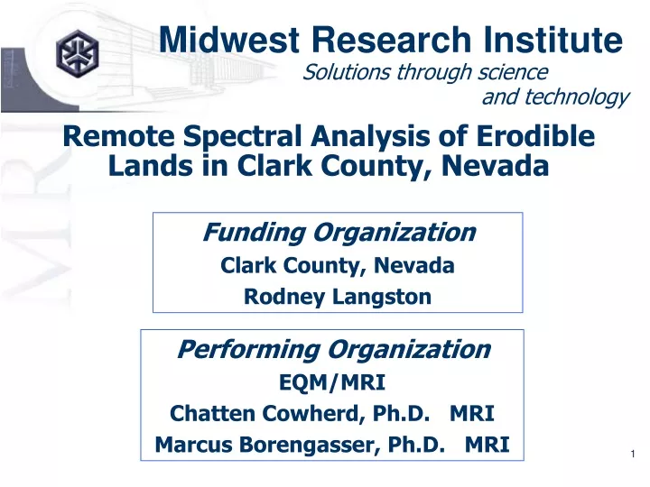
Midwest Research Institute Solutions through science and technology Remote Spectral Analysis of Erodible Lands in Clark County, Nevada Funding Organization Clark County, Nevada Rodney Langston Performing Organization EQM/MRI Chatten Cowherd, Ph.D. MRI Marcus Borengasser, Ph.D. MRI
Background • Windblown dust in the Las Vegas Valley contributes to exceedances of PM air quality standards • Increasing land disturbance associated with population growth is intensifying the problem • A precise tool is needed to track land disturbances and assure that stabilization measures are applied
Purpose • Use Satellite Imagery to Inventory Erodible Land Areas in Las Vegas Valley • Native desert (natural state) • Disturbed vacant land (loss of surface protection) • Stabilized vacant land (restoration of surface protection) • Private unpaved roads (dirt or gravel)
Wind Erodibility Groups • WEG values developed by USDA/NRCS to indicate the susceptibility of surface soil to blowing (Nine WEG values) • Soil blowing correlated with: • Soil texture • Organic matter content • Effervescence due to carbonate reaction with HCl • Rock and pararock fragment content • Mineralogy • Soil moisture and frozen soil
Potentially Relevant Information • Antelope Valley Blowsand Areas (Almaraz & Nguyen, as reported by Farber et al., 2003) • Owens Lake Vegetation (http://www.hydrobio.org, 2003) • Mojave Desert Wind Erosion (USGS, RVDE) • SSURGO Wind Erodibility Groups
PM-10 Emission Categories vs. Wind Erodibility Groups • 1 – Silty Sand & Clay (WEG 4 and 5) • 2 – Sandy Silt (WEG 2 and 3) • 3 – Loam (WEG 4L) • 4 – Sand (WEG 1) • 5 – Silt (WEG 6 and 7) Note: USDA provides national soil database (SSURGO) with WEG values for GIS analysis.
Project Phases • Pilot Study (two 64 km2 areas) • Utilize limited study area to develop and test predictive algorithms • Training sites: development of characteristics of land categories • Verification sites: assessing accuracy of supervised classification • Main Study (Rest of BLM zone) • Completion of spectral analysis for full study area • Check sites: testing of predicted land categories
Pilot Study Sites • 30 Locations for Training and Verification • Distributed within BLM Disposal Area • Distributed among Land Categories (weighted by WEG) • Ground Truthing within 48 hours of Imagery Acquisition
Pilot Study Sites • Native desert, • moderate to heavy vegetation • little or no vegetation • Disturbed land • not stabilized • non-vegetated but crusted (stabilized) • Unvegetated rocky surface • Sand dunes • Private unpaved roads (dirt and gravel)
Selection of Pilot Study Sites • Southern Nevada GIS Metadata • Las Vegas Valley Nonattainment Area (CP 3.16) • BLM disposal area (CP 3.17) • Public-owned land (CP 3.18) • Existing land use (CP 3.8) • Unpaved roads (CP 3.19) • SSURGO Database with WEG values • USGS Topographical Data • Windshield Observations
Ground Truthing of Pilot Study Sites • GPS Coordinates of NW corner locations • Inspection of vegetation types and coverage • Characterization of loose surface material • Drop ball test for surface crust strength • Rock cover test for non-erodible elements • Sieving test for threshold friction velocity
Satellite Imagery • IKONOS (Space Imaging) • 3 visible bands (blue, green, red), 1 near IR band • Resolution: 4 m multispectral sharpened to 1 m • QuickBird (Digital Globe) • 3 visible bands (blue, green, red), 1 near IR band • Resolution: 2.4 m multispectral sharpened to 0.6 m • LandSat 7 (NASA/NOAA/USGS) • 7 bands (same as above plus 3 others) • Resolution: 30 m multispectral sharpened to 15 m
Other Satellite Imagery Studies • Owens Lake Vegetation • Test for compliance with 50% coverage requirement • Use TM7 and Quickbird data to characterize South Farm area (16 training sites) • Antelope Valley Blowsand Areas • Blowsand areas drive wind erosion of farmland • Use Landsat data to map blowsand areas (8 training sites)
Comparison of Satellite Data • IKONOS/QuickBird • High spatial resolution, but expensive • Lacks longer wavelenghts for treatment of senesced vegetation • Landsat 7 • Inexpensive, but lower spatial resolution • Contains spectral data useful for identification of senesced vegetation
Procedure for Spectral Analysis • Establish training sites that are representative of erodibility categories • Perform supervised classification of pan-sharpened, high spatial resolution satellite imagery • Determine classification mapping accuracy by constructing an error matrix
Summary • Use satellite imagery to inventory erodible lands in the Las Vegas Valley • Begin with pilot study to develop and verify predictive algorithms • Balance imagery resolution against emission intensity variation to maximize cost-effectiveness