Download
1 / 15
160 likes | 407 Views
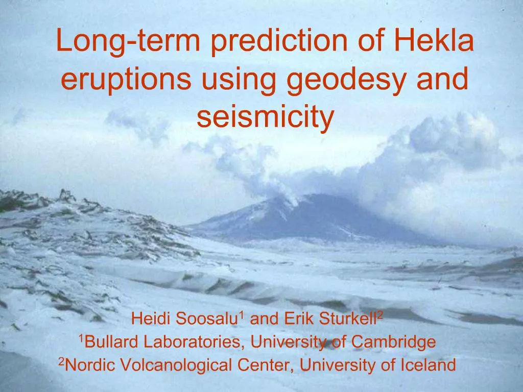
Geological setting of Hekla. Hekla. 1500 m a.s.l. ridge, built up by repeated eruptions during last 7500 yearsOne of the most active volcanoes in IcelandAt least 18 eruptions during last 1100 yearsTypically 1-2 eruptions/centuryNew pattern: most recent in 1970, 1980-81, 1991 and 2000Notorious with lack of precursories.

E N D
1. Long-term prediction of Hekla eruptions using geodesy and seismicity Heidi Soosalu1 and Erik Sturkell2
1Bullard Laboratories, University of Cambridge
2Nordic Volcanological Center, University of Iceland
2. Geological setting of Hekla
3. Hekla 1500 m a.s.l. ridge, built up by repeated eruptions during last 7500 years
One of the most active volcanoes in Iceland
At least 18 eruptions during last 1100 years
Typically 1-2 eruptions/century
New pattern: most recent in 1970, 1980-81, 1991 and 2000
Notorious with lack of precursories
4. Stations and measuring points around Hekla Yearly measurements of GPS and dry tilt
Continuous seismic measurements: digital three-component and analogue vertical component stations
Continuous strain measurements
5. Tilt measurements at MOHN
6. Tilt measurements at RAUK
7. Tilt measurements at NAEF Directly west from Hekla
East component especially sensitive for deformation under Hekla
Similar uplift level as prior to 1991 and 2000 eruptions has now been reached
8. GPS measurements at HAFU
9. GPS measurements at NBJA
10. GPS measurements at MOHN At the root of Hekla
Shows now uplift under Hekla
During eruptions MOHN is heavily influenced by the dike
Interpretation more complicated than at NAEF
11. Precursory seismicity Eruption-related seismicity observed only 30-80 minutes before onset
Swarm of numerous small earthquakes (ML < 3)
No help for long-term predicting
Strain is another short-term prediction tool
12. Frequency content of Hekla events
13. Hekla seismicity between eruptions Not �volcanic�
Follows the pattern of the South Iceland seismic zone to the west
15. Timing of the next Hekla eruption Geodetic measurements show that inflation at Hekla has reached former pre-eruption levels
Frequency content of Hekla earthquakes is a weak signal, but indicates that stress is building up again
We suggest that the next Hekla eruption is quite likely within next ~2 years
16. Thanks to