Download
1 / 16
160 likes | 326 Views
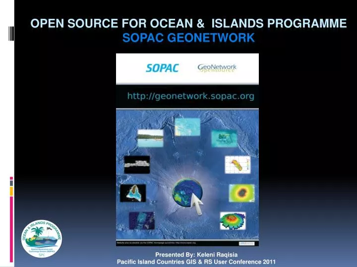
Presented By: Keleni Raqisia Pacific Island Countries GIS & RS User Conference 2011 . OPEN SOURCE for ocean & islands Programme SOPAC GEONETWORK. What does OIP actually do?. SPC SOPAC Division. Saline intrusion inundation.

E N D
Presented By: KeleniRaqisia Pacific Island Countries GIS & RS User Conference 2011 OPEN SOURCE for ocean & islands ProgrammeSOPAC GEONETWORK
What does OIP actually do? SPC SOPAC Division Saline intrusion inundation OIP also contributes to climate change science and understanding PIC vulnerability and adaptation in coastal and near shore systems. OIP delivery is supported & complemented by Technical Workshop & the Natural Resource Economics Sector. Maritime Boundaries Coastal Processes; (planning, infrastructure, erosion, aggregates, vulnerability, etc) Remote sensing & Sealevel Monitoring Oceanography Water Quality (ecological maintenance) Deep sea resources Hydrodynamic Modelling; wave, current, inundation Habitat Mapping Hydrography / Geophysics
Types of spatial data gathered by OIP? • Bathymetry • Ground control Points • Ocean measurements • Seismic data • Spatial Temporal analysis • Coastlines • Flow Modeling
Why Do we need a Ocean data Repository? • Large collection of Spatial Information • Valuable Regional Asset • Worth $$$$$$$$$$$$$$$$$$ • Unknown outside SOPAC • Only known to few specialist in SOPAC • Significant Risk – Location & Storage hazards
The SOPAC Divisions Geonetwork: • An online geographic metadata catalog • Holds Oceanographic and Marine scientific information • Surveys conducted by Scientist at OIP and information from external sources
Search Facility: • Basic Search Facility – By Keywords • Advanced Search Facility
Data Categories: • By countries • By Data Type
Information on Geonetwork: • Bathymetry • SPSLMP • Maritime Boundaries • Habitat Maps • Satellite Images • Geology Maps • Wave Data • Historical Aerial Photography • Multichannel Seismic Shotpoints • Historical Topography maps • Marine Scientific Cruise Vessel datasets
Information on SOPAC Geonetwork • Large Scale Maps
Access Privileges: • Within Ocean & Islands Programme • Within SOPAC DIVISION • Public Access • Request
Metadata: • Customized metadata templates
Updates of new metadata records: http://www.pacificportal.com.au/ http://pigcos.soest.hawaii.edu/pigoos/
Effects of SOPAC Geonetwork : • Effect on scientific staff at SOPAC • SOPAC geonetwork gives a public presence for their work • The use of simple visuals to communicate information • A referenced for more detailed enquiry • Effect on the community - Comments from large regional agencies “ Existence Unknown” • Data used for New Business venture. Government organizations – national, provisional, local level, consultants and NGO’s
Sample Request: • International Hydrographic Organization – use of bathymetry data of Kiribati for the updating of Hydrographic Maps • Government of Cook Islands - Use for Port development Project in the Cook Islands. • International student – Geophysical data of the Lau for Masters thesis • Samoa Government - Bathymetry for tsunami modeling. • Tuvalu Government - Historical Aerial Photographs for coastal change Assessment in Tuvalu. • Petroleum Databank - Marine mineral exploration ( Resource Company) • Bathymetry for Niue - Yacht mooring for race participants ( Yacht race organizers) • Bathymetry for Marshall Islands – Fish farming ( New Business venture) • Geonetwork recorded 756490 hits (August 2010 -July 2011), 99 countries.