Download
1 / 11
110 likes | 115 Views
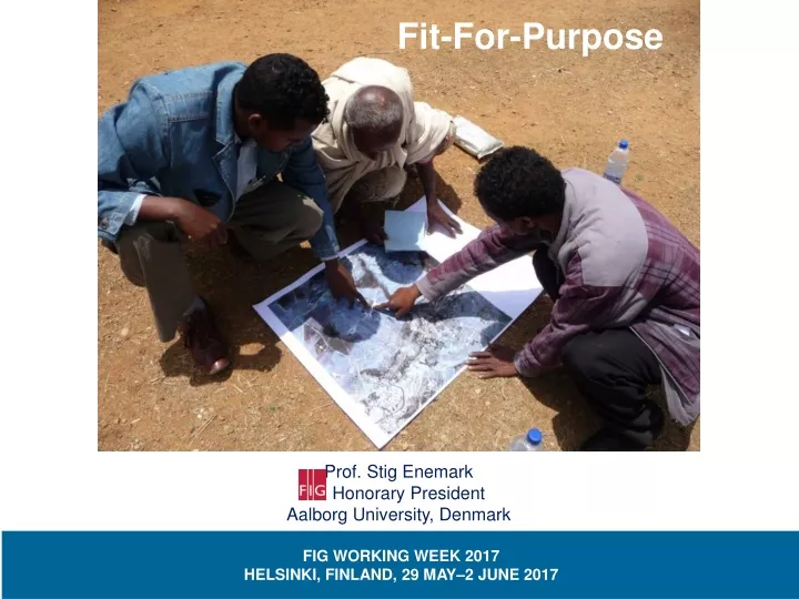
Fit-For-Purpose. Prof. Stig Enemark Honorary President Aalborg University, Denmark. FIG WORKING WEEK 2017 HELSINKI, FINLAND, 29 MAY–2 JUNE 2017. The 2030 Agenda 17 Goals, 169 targets, and 230 indicators. https://sustainabledevelopment.un.org/?menu=1300. Meeting the Global Agenda.

E N D
Fit-For-Purpose Prof. Stig Enemark Honorary President Aalborg University, Denmark FIG WORKING WEEK 2017 HELSINKI, FINLAND, 29 MAY–2 JUNE 2017
The 2030 Agenda 17 Goals, 169 targets, and 230 indicators https://sustainabledevelopment.un.org/?menu=1300
Meeting the Global Agenda • “There is an urgent need to build systems which can identify the way land is occupied and used and provide security of tenure • and control of the use of land”. • “When building such systems the focus should be on a "fit-for-purpose approach" • that will meet the needs of society today and can be incrementally improved over time”. FIG /WB Declaration A fit-for-purpose approach includes the following elements: • Flexiblein the spatial data capture approaches to provide for varying use and occupation. • Inclusivein scope to cover all tenure and all land. • Participatoryin approach to data capture and use to ensure community support. • Affordablefor the government to establish and operate, and for society to use. • Reliablein terms of information that is authoritative and up-to-date. • Attainableto establish the system within a short timeframe and within available resources. • Upgradeablewith regard to incremental improvement over time in response to social and legal needs and emerging economic opportunities. FIG/WB, 2014 http://www.fig.net/pub/figpub/pub60/figpub60.htm
Fit-For-Purpose – what is it ? • Fit-for-purpose: The systems should be designed for managing current land issues – and not guided by high tech solutions and costly / time consuming field survey procedures. • Basic purposes: Include all land; provide secure tenure for all; and control the use of land. • Flexibility: Scale and accuracy relate to geography, density of development, and budgetary capacity • Incremental improvement: Advanced Western style concepts may well be seen as the end target but not as the point of entry. • Good practice: Rwanda leads the way with about 10 million parcels demarcated and registered in about five years - unit costs of 6 USD per parcel Denmark Rwanda “As little as possible – as much as necessary”
Fit-For-Purpose Land Administration Guiding Principles for Country Implementation http://www.gltn.net/index.php/publications/publications/publications-list/send/2-gltn-documents/2332-fit-for-purpose-land-administration-guiding-principles-for-country-implementation
Building the Spatial Framework Using aerial imageries for participatory field adjudication Orthophoto used as a field work map sheet with a georeferenced grid. The map shows the delineated parcel boundaries and parcel identification numbers. Vectorised field map showing the resulting cadastral map with parcel boundaries and cadastral numbers. Source: Zerfu Hailu, Ethiopia
Building the Legal Framework Recording legal as well as legitimate tenure rights Recognisetenure types to be included Recordcollecting data on land rights as part of the building the spatial framework Review assessing any outstanding claims
Building the Institutional Framework Applying responsible land governance • Integrated land management • Viewing land tenure, land value, land use and land development as a coherent whole. • Holistic National Land Policy • Identifying what government wishes to achieve and what access and rights people will have. • Decentralisation • Decisions taken closest to a local community and matching government expenditure against local priorities • Easy accessible • Customer focused, dedicated to service delivery and supporting on-going maintenance www.fao.org/docrep/016/i2801e/i2801e.pdf
The Way Forward • The need for commitment and political will • The quest for capacity development and provisions for maintenance: ”Don´t start what you can´t sustain” • Understanding and cooperation between UN-agencies, professional organisations, and national governments • Effective knowledge-sharing to drive and manage the change process