Download
1 / 10
100 likes | 217 Views
CoReH 2 O – Preparations for a Radar Mission for Snow and Ice Observations. H. Rott 1 , D. Cline 2 , C. Duguay 3 , R. Essery 4 , P. Etchevers 5 , I. Hajnsek 6 , M. Kern 7 , G. Macelloni 8 , E. Malnes 9 , J. Pulliainen 10 , S. Yueh 11 1 University of Innsbruck & ENVEO IT, Austria

E N D
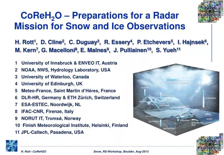
CoReH2O – Preparations for a Radar Mission for Snow and Ice Observations H. Rott1, D. Cline2, C. Duguay3, R. Essery4, P. Etchevers5, I. Hajnsek6, M. Kern7, G. Macelloni8, E. Malnes9, J. Pulliainen10, S. Yueh11 1 University of Innsbruck & ENVEO IT, Austria 2 NOAA, NWS, Hydrology Laboratory, USA 3 University of Waterloo, Canada 4 University of Edinburgh, UK 5 Meteo-France, Saint Martin d’Héres, France 6 DLR-HR, Germany & ETH Zürich, Switzerland 7 ESA-ESTEC, Noordwijk, NL 8 IFAC-CNR, Firenze, Italy 9 NORUT IT, Tromsǿ, Norway 10 Finish Meteorological Institute, Helsinki, Finland 11 JPL-Caltech, Pasadena, USA
Background Information • CoReH2O Cold Regions Hydrology –High Resolution Observatory • Submitted to ESA in response to the 2005 Call for Earth Explorer Core Missions (EE-7) • Selected as one of 6 missions for Pre-Phase A studies • In 2009 selected as one of 3 missions for detailed scientific and technical studies, Phase A • Scientific studies included retrieval algorithm development, SAR image simulator, performance analysis, field campaigns, synergy with other satellites, etc. • 2 parallel contracts on sensor & satellite development • March 2013: Down-selection to one EE7 mission > Biomass
Scientific Observation Requirements Lake and river ice Glaciers Sea ice Snow Diagenetic facies types, glacial lakes Ice area; freeze up and melt onset Snow on ice (SWE, melt onset and area); type and thickness of thin ice Melting snow area, snow depth Secondary parameters
Signal as Basis for SWE Retrieval SnowScat° (dB) at Ku-band (16.7 GHz) and X-band (10.2 GHz), = 40° winter 2010/11, vs. SWE in snow pits, Sodankylä, Finland (NoSREx-2).
CoReH2O SAR Sensor Requirements Thales-Alenia 2 Mission concepts ScanSAR EADS-Astrium
Iterative SWE Retrieval – Constrained Minimization Forward model - Measurement Cost Function Regularization F(.) backscatter forward model (radiative transfer, RT) X 2 free model parameters (SWE, eff. grain radius RE) iith CoReH2O Band (for i=1,..4: Xvv, vh; Ku vv, vh) j index for free model parameters: SWE vari variance of measured s° backscatter value in CoReH2O band i c1,..,cr RT model configuration parameters (Ts, s, as) Regularization parameters are needed to constrain the inversion: a-priori RE, SWE Forward model used for iteration:
Performance Analysis SWE Retrieval – Simulated Data Retrievals with improved algorithm 50 m grid size; speckle filter 7 x 7 Snow on open land RMSD between retrieved and true SWE Red grid: observ requirement SWE in open forest 20% fractional cover Based on backscatter simulations with Synthetic Scene Generator (SSG) Unbiased regularization
Performance Analysis SWE Retrieval – Simulated Data Impact of bias in regularization parameters Snow on open land. 15% bias for regularization parameter RE (effective grain radius) 50% bias for regularization parameter SWE
Field Experiments withAirborne Sensor SnowSAR Field campaigns Sodankylä March 2011, winter 2011/12 AlpSAR 2013 – Austrian Alps AlpSAR Leutasch 23-02-2013 SnowSAR Characteristics Frequencies 9.6 GHz, 17.25 GHz Polarization Polarimetric Modulation FMCW Bandwidth 150 MHz Look angle 35° to 45°
SWE Map from Airborne Backscatter Data Performance: SWEobs– SWEret = -5 mm Stand. error : 11 mm A-priori estimates for retrieval input by CoSDAS snow model driven by HIRLAM forecast data SWE map, derived from SnowSAR data, Sodankylä, 15/03/2011