Download
1 / 45
450 likes | 455 Views
Explore the differentiation and structure of Earth, including the layers of the crust, mantle, and core. Learn about plate tectonics and how seafloor spreading and continental drift contribute to the movement of the continents. Discover the evidence supporting these theories and the mechanism behind Earth's shifting structure.

E N D
Int.-C.01 W. W. Norton Depths from Surface of Boundaries Crust 10-70km U. Mantle ~700 km L. Mantle ~3000km Outer Core ~5000km Inner Core 6371km
Interior Structure • Layering by Density: Interiors of terrestrial planets are layered by density • Core: Highest density material, mainly nickel and iron • Mantle: Intermediate density material • Crust: Lowest density rock Disproportionate cores
Earth Structure • Crust • Continental crust • - Density of 2.7 g/cm3 • - Avg. thickness of 35-40 km • - Composition of granite • Oceanic crust • - Density of 3.0 g/cm3 • - Avg. thickness of 7-10 km • - Composition of basalt
Earth Structure • Mantle • Solid, though able to flow below 100-150 km • Composition of ultramafic rock peridotite • Density of 3.5-5.0 g/cm3 • Upper mantle and lower mantle (based on velocity of earthquake waves) • Convection takes place in the mantle
Earth Structure • Inner & Outer Core • Outer • - Liquid iron-nickel-sulfur • - Density of 10-12 g/cm3 • Inner • - Solid iron-nickel alloy • - Density of 13 g/cm3 • - Inner core is hotter than outer, but is solid because of immense pressure • Flow of outer core generates Earth’s magnetic field
HOW IS THE MASS OF THE EARTH DETERMINED? G= gravitational constant R= distance between objects Also, F=ma where a=acceleration due to gravity Therefore, M=ar2/G M= 6.0 x 1024 kg
Fig. 1.05 W. W. Norton Radius of the Earth 6.3713 × 10³ km
Composition of the Whole Earth and Earth’s Crust Density of the Earth Whole Earth 5.519 g/cc Crust 2.2-2.5 g/cc Mantle 3.5-5.5 g/cc Core 10-13 g/cc
Validation of Liquid and Solid Core -- S-Waves do not pass through liquids -- P-Waves pass through liquids and are refracted by the Earth’s solid inner core
N S Earth’s Magnetic Field Earth’s magnetic field is nearly a dipole with one pole near geographic north pole and the other near the geographic south pole • Magnetic fields are produced by the motion of electrical charges • Magnetic field is due to motion of electrons in the magnet • Electrical charge on Earth requires: • Metallic (conducting) core • Convection of core • Heat for convection derived fromcrystallization of molten core
Earth Structure • Mantle • Solid, though able to flow below 100-150 km • Composition of ultramafic rock peridotite • Density of 3.5-5.0 g/cm3 • Upper mantle and lower mantle (based on velocity of earthquake waves) • Convection takes place in the mantle
OVERVIEWSEAFLOOR SPREADING AND PLATE TECTONICS • The Observations • Continental Shape • Continents were once together as Super-Continent • The Proof • Ocean Floor Magnetics • Geological Structures, Fossils, History • Seismic Tomography – Imaging the Earth’s Interior • Understanding the Mechanism for Seafloor Spreading
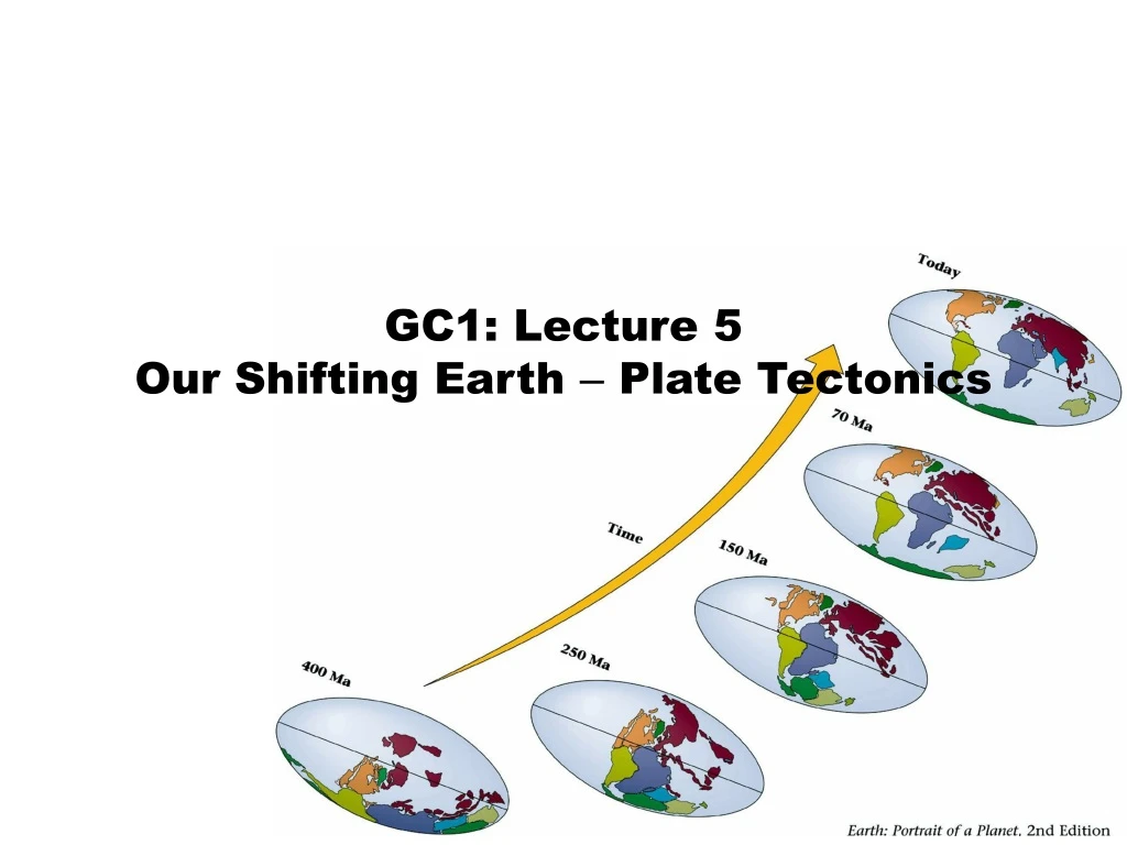
Continental Drift Continental drift: hypothesis that the continents are mobile Poor, ridiculed Alfred • Proposed by German meteorologist Alfred Wegener in his 1915 book, “The Origins of Oceans and Continents” • Asserted that there had once been a supercontinent, Pangaea • Evidence included: • - Fit of the continents • - Location of glaciations • - Paleoclimate evidence • - Fossil distribution • - Rock type and structural similarities
Continental Drift Fit of Continents
Glaciation Glaciations: past times of continental ice • Evidence of Permian (~300 Ma) glaciation was found in South America, Africa, India, Australia, and Antarctica • Today India and Africa are near the equator
Paleoclimate Climate zones– From the Tropics to the Poles • If southern Pangea was at the South Pole in the Permian, Southern North America and Europe and North Africa should have been equatorial. • This matches the Permian distribution of: - Tropical coals - Tropical reefs - Subtropical deserts - Subtropical evaporites
Fossil Distributions Identical fossils on widely separated land • Mesosaurus – an estuarine reptile. • - From South America & South Africa only • Glossopteris – extinct seed fern • - Found in India, Australia, South America, Africa • - Heavy seeds, subpolar climate • Lystrosaurs – therapsid, reptile-like mammal • - Africa, India, Australia • Cynognathus – mammal-like reptile • - Africa, South America
Geological Affinities Similar geological features on separate continents • Geological structures • Mountain belts • Mineral deposits • Rock types • Rock ages Caledonides Appalachians
Yes!!! The Geology is CompellingBUT WHAT IS THE MECHANISM Criticisms of continental drift: primary criticism was that there was no mechanism • Wegner’s ideas • - Continents plowed through the ocean crust, much like ice breakers cut through ice. • - Invoked rotational (centrifugal) forces. • - Neither of these ideas were tenable. • Prevailing thought • - Ocean and continents were permanently fixed • Continental drift wasn’t widely accepted until the 1960s • - Paleomagnetic evidence of continental movement • - Seafloor spreading • - Plate tectonic theory
Earth’s magnetic field • Magnetic field: Earth’s magnetic field results from convection of the liquid outer core around the solid inner core • The field acts like a giant bar magnet. • It has “north” and a “south” ends. • The bar is tilted ~11° from the rotation axis. • The position of the bar gradually shifts. • Earth’s magnetic field is strong. • It extends out into space. • North Magnetic Pole: point on Earth’s surface at which magnetic field points vertically downward • Geographic North Pole: point where Earth’s axis of rotation meets Earth’s surface
Earth’s magnetic field • Magnetic field • Declination – Difference between magnetic north and geographic (true) north. Depends upon… - Longitude • - Absolute position of the 2 poles. • - Changes with time • Inclination – Tilt of a compass needle from the horizontal. Depends upon… - Latitude - Normal or reverse polarity.
Paleomagnetism • Paleomagnetism: study of fossil magnetism • Below 350-550°C, iron-bearing minerals in rock willrecord magnetism - Thermal energy slows atoms. - Dipoles align with Earth’s field. - Material becomes a permanent magnet. • Sediments can also preserve magnetic information. - Iron bearing sediments will align with the magnetic field.
Polar Wandering • Polar wandering: migration of magnetic pole over surface of Earth through geologic time • Paleomagnetic directions - Different than modern - Changed through time • Originally thought to indicate path of pole through time (I.e., polar wandering)
Apparent Polar Wandering • Apparent polar wandering: signature of a fixed pole on a wandering continent • Polar wandering paths from North America and Europe are not the same! - Indicates that the lava flows themselves must move-- evidence of continental drift • Polar wandering paths align when continents assembled
Ocean Floor • Mapping of the ocean floor in the 1950s led to new ideas • Bathymetry: depth of ocean • Deepest parts of the ocean (trenches) were not in the middle, but near land. • Mountain range (the mid-ocean ridge) runs through every ocean basin. • Ocean deepens toward the coasts. • Chains of submarine volcanoes run in straight lines across ocean floors.
Ocean Floor • More observations from mapping • Oceanic crust is covered by sediment. • - Thickest near the continents. • - Thinnest (or absent) at the mid-ocean ridge. • Oceanic crust is mafic (basalt and gabbro). • - No granitic rocks. • - No metamorphic rocks. • High heat flow characterizes the mid-ocean ridge. • Earthquakes • - Found at mid-ocean ridges, trenches
Sea Floor Spreading • Seafloor spreading: explanation for ocean floor observations by Henry Hess in 1960 • Theory of “sea-floor spreading”. • Upwelling mantle erupts at the mid-ocean ridges. • This new sea-floor pushes away from the ridge. • The sea-floor moves across an ocean gathering sediment. • At trenches, the sea-floor dives back into the mantle. • Provided a mechanism for continental drift.
Magnetic Reversals • Magnetic reversals: change in the magnetic polarity of Earth’s magnetic field • Magnetic polarity: direction of north-end of magnet • Reverses abruptly through time with the time interval variable • Cause not known • Geologists have dated these reversals and use them as a tool to further subdivide geologic time
Magnetic Anomalies • Proof of seafloor spreading • Magnetometers towed behind ships sensed magnetic signatures from the oceanic crust. • Perpendicular to the mid-ocean ridge, the magnetic field exhibit systematic patterns magnetic field intensities related to the reversed and normal polarities of the underlying rock • These are called positive and negative magnetic anomalies. • Anomalies form linear belts that parallel mid-ocean ridges.
MAGNETIC REVERSAL STRIPES ARE SYMMETRICAL Fig. 3.24b W. W. Norton. Modified from Mason, 1955.
OBSERVATIONS: DISTRIBUTION OF HIGH FLOW OF HEAT -- VOLCANOES Fig. 3.22 W. W. Norton. Modified from Rothé, 1954.
The age of oceanic crust varies with location. The youngest crust lies along a mid-ocean ridge, and the oldest along the coasts of continents. Here, the different color stripes correspond to different ages of oceanic crust. Red is youngest, purple is oldest. p.68-69d original artwork by Gary Hincks Marine magnetic anomalies are stripes representing alternating bands of oceanic crust that differ in the measured strength of the magnetic field above them. Stronger fields are measured over crust with normal polarity, while weaker fields are measured over crust with reversed polarity. Normal polarity Reversed polarity Mid-ocean ridge (normal polarity)
SEAFLOOR SPREADING – YES!!BUT IF OCEANS GET BIGGER, DOES THE DIAMETER OF THE EARTH INCREASE? OBSERVATION: EARTH’S DIAMETER IS CONSTANT THEN: SOMEWHERE THE EARTH MUST BE DESTROYING OLDER CRUST.
Plate Tectonics • Plate tectonics: Unifying theory that explains many geological observations • Central concepts - Earth’s outer shell broken into rigid plates - Plates move relative to one another - Plates are created at mid-ocean ridges • - Plates are destroyed at subduction zones • - Plate movement changes face of earth • Plate tectonics has revolutionized earth sciences