Download
1 / 17
200 likes | 447 Views
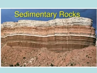
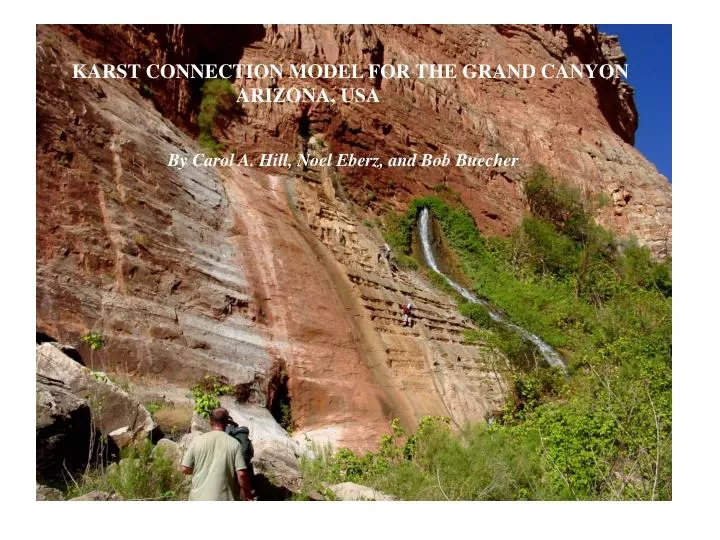
KARST CONNECTION MODEL FOR THE GRAND CANYON ARIZONA, USA. By Carol A. Hill, Noel Eberz, and Bob Buecher. GRAND CANYON PROJECT. Age of the Grand Canyon . Dating of cave deposits to determine

E N D
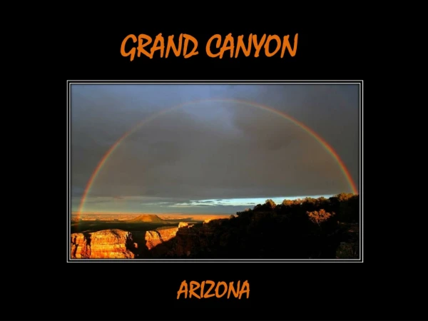
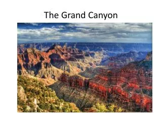
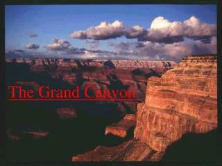
KARST CONNECTION MODEL FOR THE GRAND CANYON ARIZONA, USA By Carol A. Hill, Noel Eberz, and Bob Buecher
GRAND CANYON PROJECT • Age of the Grand Canyon. Dating of cave deposits to determine • water-table position over time and space. Victor Polyak, Carol Hill, Yemone • Asmeron. Dating project supported by the National Science Foundation and • University of New Mexico Radiogenic Isotope Laboratory. (2) Ancestral Colorado River. Where did the ancestral Colorado River flow before it went through the Grand Canyon? Carol Hill, Wayne Ranney, Bob Scarborough, and Doug Powell. Field support from- BLM Grand Staircase-Escalante National Monument. **(3) Karst Connection Model. Addresses 4 major geomorphic mysteries about the Grand Canyon from a karst perspective. Carol Hill, Noel Eberz, and Bob Buecher. Grants from National Park Service, Grand Canyon Association, and National Speleological Society.
5 MAJOR MYSTERIES: GEOMORPHIC EVOLUTION OF EASTERN GRAND CANYON ? (1) Where did Ancestral Colorado River flow before its integration through the Grand Canyon ~6 Ma? Sub-project #2 (2) Why do the “young” narrow Little Colorado and Marble Canyons meet at the Confluence = C, whereas the Grand Canyon “opens up” below the Confluence? Marble Canyon Kaibab arch Colorado R. (3) Why does the young narrow Marble Canyon cut its course less than a mile from the Chuar Basin? This karst connection sub-project #3 C Chuar basin (4) Why does the Colorado River make a sudden bend from south to west? Colorado R. Little Colorado R. (5) How did the Colorado River cross the Kaibab arch high? That is, how did the eastern Grand Canyon connect with the western Grand Canyon?
PRESENT-DAY HYDROLOGY OF THE EASTERN GRAND CANYON . A . . F KAaxis . C B H • Map showing groundwater divides (dashed lines) between hydrologic basins. Blue Springs (B) is the discharge point for the Black Mesa • basin today. For each of these modern basins, water follows structure (synclines, faults) along the steepest hydraulic gradient to spring • outlets in the Redwall Limestone. • Solid arrows shows probable route Redwall water takes today from the 3 pits (Ah Hol Sah A, Indian, Black Abyss) to Fence Springs (F). • From Huntoon (2000).
A = AH HOL SAH SINKHOLE Ah Hol Sah sinkhole, near Tanner Wash, is 150 m across and 40 m deep. The sinkhole is actively collapsing into the Redwall karst aquifer, which is probably discharging at Fence Springs. A small wash (foreground) now drains (arrow) directly into the sinkhole; i.e., drainage to Tanner Wash has been pirated down the sinkhole to karst channels (caves) below. *The Karst Connection Model proposes that this same process happened at the Confluence ~6 Ma. Water flowing along the ancestral Little Colorado River was pirated down into a Confluence sinkhole in the same manner as it is today at Ah Hol Sah.
THE PRESENT IS THE KEY TO THE PAST . A . . F KAaxis . C B H Essentially, we are projecting what is happening today in the Kaiparowits basin (where the Redwall aquifer is still intact), back in time and spacially southward. At~6 Ma, before canyon dissection, the Redwall aquifer was still intact in the area of the Confluence (C). Note that the proposed karst connection goes under the Kaibab arch.
PROPOSED KARST CONNECTION ROUTE – PRE-6Ma To Utah (“Glen Lake”) Water flows east down East Kaibab monocline, vertically down collapse features, and west along ancestral Black Mesa basin. It converges on Blue Springs fault, descends to the Redwall aquifer, and then moves northward, in the direction of the hydraulic gradient. • Pre- 6 Ma: • No Marble Canyon • No Little Colorado • River Canyon • No eastern Grand • Canyon • No Blue Springs • (erosion had not cut • down to Redwall • level yet) Ancestral Little Colorado River flows north to Utah prior to connection at ~6 Ma
111°45' Cedar Ridge anticline Marble Canyon 36°15' 36°15' . . . . . . Surface Subsurface . . . . . . . C Surface . Cedar Ridge anticline Breccia pipe Collapse feature Redwall karst aquifer flow Water flowed north in the Redwall aquifer until it encountered the Cedar Ridge anticline; then it was diverted southwest to the Confluence (C), creating a zone of collapse features - the Confluence sinkhole being one of this zone. Little Colorado River water was pirated down this collapsing sinkhole (blue arrow). The Cedar Ridge anticline caused water to divert toward the Confluence (green arrow), thus allowing headward erosion of Marble Canyon to proceed against dip. Confluence = surface + subsurface water. Collapse features and base map from Sutphin (1986); breccia pipes from Sutphin and Wenrich (1989) and Huntoon et al. (1996).
PROPOSED KARST CONNECTION ROUTE: ~6 Ma C = Collapsing sinkhole at Confluence Reversal of drainage Where does water go? • It follows steepest • hydraulic gradient • to exit as springs • where Redwall Ls • is exposed. • Headward erosion • proceeds up Marble • Canyon and Little • Colorado River • Canyon from • collapsing sinkhole. Sinkhole • Redwall karst • aquifer flow • goes under • the Kaibab arch • to discharge • in headward • eroding western • Grand Canyon • along synclinal • axis of Grandview • monocline. • Spring discharge • occurs along • Redwall horizon • in the Hance Rapids • area where the • Redwall Ls has been • uplifted and • exposed along faults • Little Colorado River • water is pirated down • the sinkhole to the • Redwall aquifer; no • longer flows north. • Reversal of drainage • in Marble Canyon
KARST AQUIFER FLOW • Permeability pathways are produced by the fluid of the flow system itself rather than • by some inherited geologic fabric or structure. • As karst conduits become larger and better integrated, the hydrologic flow system • becomes dominant and conduits develop along the steepest hydraulic gradient. • Thus, flow in karst aquifers can cross faults and folds, move opposite to dip, and go under • or through structures as it pursues a path along the steepest hydraulic gradient to discharg.
~6 Ma: Time of Karst Connection 8000 ft Kaibab arch GV = Grand View Point TOK = 7400 ft Marble Platform 7000 ft C = Confluence TOK = 6100 ft ~6000 ft (?) 6000 ft PS = Potentiometric surface HS Mesa, TOR = 5200’ H = Hance spring Butte fault Confluence sinkhole 5000 ft TOR = ~4500’(?) Redwall Ls PS TOR = 4400 ft Grandview monocline East Kaibab monocline 4000 ft TOR = 4100 ft 300 ft Redwall Ls Extension faults 3000 ft Schematic cross section of how Redwall karst aquifer water could have recharged on the Marble Platform, gone under the Kaibab arch, and discharged from the-then still-intact Redwall Limestone in the Hance Rapids area ~6 Ma. TOK = Top of the Kaibab; TOR = Top of the Redwall; PS= Potentiometric surface. Vertically exaggerated.
POST-CONNECTION EVENTS (<6 Ma to Present) • Once the Little Colorado • River cut down to Redwall • level at the Confluence and • then in Little Colorado • Canyon, the discharge point • for the Black Mesa basin • moved from H to C to B • (Hance Rapids area to • Confluence to Blue Springs) • Subsequent collapse • and canyon incision • followed along the • former karst • connection route. • The former Redwall karst • aquifer route past the • Confluence thus became • disconnected from the • Black Mesa hydrologic • basin by canyon incision.
EVIDENCE SUPPORTING A KARST CONNECTION MODEL (1) The model is consistent with the Principles of Karst Hydrology. Flow in karst aquifers can cross faults and folds, move opposite to dip, and go under or through structures as it pursues a path along the steepest hydraulic gradient to discharge. So going under the Kaibab arch is no problem! (2) The model is consistent with the Principle “the present is the key to the past”. The model extends Huntoon’s flow in present-day hydrologic basins backward in time. We have just moved what is happening today in northern Marble Canyon, where the Redwall karst aquifer is still intact, southward to where the Redwall aquifer was intact ~6 million years ago (i.e., before canyon erosion truncated the aquifer in the area of the Confluence). (3) The model is consistent with today’s differential incision rates for the eastern and western Grand Canyon. Eastern Grand Canyon = ~0.2-0.5 mm/yr; Western Grand Canyon = ~0.07 mm/yr. Since the karst connection at ~6 Ma, the eastern Grand Canyon is still trying to “catch up”(equilibriate) with the western Grand Canyon, incision-wise. (4) The model is supported by the “barbed tributaries” in Marble Canyon.
San Juan River Glen Lake Proposed interior lake basin (“Glen Lake”) BARBED TRIBUTARIES Red arrows: Proposed direction of flow of ancestral Little Colorado River before karst connection at the Confluence (C). Barbed tributaries reflect the direction of this ancestral flow; tributaries are obtuse to today’s direction of flow. Ancestral flow was down the northeast dip of beds; today’s flow cuts opposite to dip. Black arrows: Direction of flow today C Base drawing from Ranney (2005)
Confluence C = KINGPIN to understanding mysteries of eastern Grand Canyon: (1) Headward erosion proceeded up Marble and Little Colorado canyons from collapsing sinkhole at C; hence these canyons are “young” (<6 Ma) and narrow. Chuar Basin (2) “Ancient” Chuar basin is located less than a mile from “young” Marble Canyon because these two drainage systems developed independently of each other. (3) The Colorado River turns from south to west because it followed the former karst route that connected with a western proto-Grand Canyon eroding eastward. (4) The Colorado River crossed the Kaibab arch by going under it, along a karst route independent of structure.
CONCLUSION • Karst processes are key to understanding the Grand Canyon, • from its connection to time of incision; yet these processes • are rarely invoked in the “standard” models of its evolution.