Download
1 / 24
240 likes | 459 Views
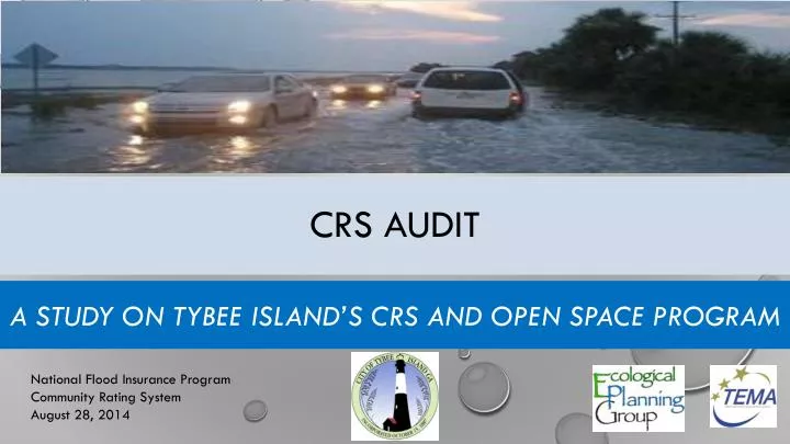
CRS Audit. A Study on Tybee Island’s CRS and Open Space Program. National Flood Insurance Program Community Rating System August 28, 2014. Background. CRS Recertification & Cycle Visit April 2014 New CRS Manual 2013 Changes to Activities / Credits

E N D
CRS Audit A Study on Tybee Island’s CRS and Open Space Program National Flood Insurance Program Community Rating System August 28, 2014
Background • CRS Recertification & Cycle Visit April 2014 • New CRS Manual 2013 • Changes to Activities / Credits • Biggert Waters Act/Homeowner Flood Insurance Affordability Act of 2014
Tybee Island – CRS Program Audit Categories of Floodplain Management Activities: • Public Information • Mapping and Regulations • Flood Damage Reduction • Warning and Response
Open Space Preservation • Open Space Preservation (OSP) • Deed Restrictions (DR) • Natural Functions Open Space (NFSP) • Special Flood-Related Hazard Open Space (SHOS) • Open Space Incentives (OSI) • Low-Density Zoning (LZ) • Natural Shoreline Protection (NSP) 1450 Points 50 Points 350 Points 50 Points 250 Points 600 Points 120 Points
Open Space Preservation • Open Space Preservation (OSP) • Deed Restrictions (DR) • Natural Functions Open Space (NFSP) • Special Flood-Related Hazard Open Space (SHOS) Credit specific to properties • Open Space Incentives (OSI) • Low-Density Zoning (LZ) • Natural Shoreline Protection (NSP) Credits local regulations
Total Site 6 Acres
Total Site 6 Acres Area in SFHA 3 Acres
Total Site 6 Acres Area in SFHA 3 Acres Impervious Area in SFHA 0.75 Acres OSP Eligible 2.25 Acres
Total Site 6 Acres Area in SFHA 3 Acres Impervious Area in SFHA 0.75 Acres OSP Eligible 2.25 Acres Total acreage in SFHA = 100 Acreage of Open Space = 2.25 Ratio of Open Space = 0.0225 (2.25 / 100) Open Space points for this Site = 32.6 (0.0225 x 1450)
Open Space Preservation • Beach • Dunes • Parks • Coastal Marshlands • Conservation Easements • Other • Total Acreage of the City • 2,046 Acres • Total Acreage of Special Flood Hazard Area • 1,768 (86% of City) • AE Zone, 1,200 Acres (59%) • VE Zone, 568 Acres (28%) aOSP / aSFHA = rOSP rOSP * 1450 = Open Space Points
Open Space Preservation (OSP) OSP = 710
Open Space Preservation Total Site = 11.3 acres OSP Eligible = 7.2 acres
Deed Restrictions (DR) Deed Restrictions 50 Points aDR / aSFHA = rDR rDR * 50 = Deed Restriction Points DR = 24
Coastal Marshlands Protection Act • General Assembly declares that coastal marshlands of GA are a vital natural resource system • Marshlands provide the following • Habitat • Nutrients • Buffers against flooding and erosion • Disseminate pollutants • Natural recreational resource • Economic resource
Natural Functioning Open Space (NFOS) Natural Functioning Open Space 350 Points aNFOS / aSFHA = rNFOS rNFOS * 350 = Natural Functioning Open Space Points NFOS1 82 Points
Ongoing Coastal Initiatives that Benefit NFIP and CRS Programs National Flood Insurance Program Community Rating System August 28, 2014
Coastal Stormwater Supplement (CSS) CSS Elements CRS Activity 450 Stormwater Regulation (Max 755) • Ordinance • Green Infrastructure/Low Impact Development Focus • Stormwater Runoff Volume/WQ Control • Drainage structure Maintenance Agreements • Required for NPDES MS4 communities • Water Course Protection? http://epd.georgia.gov/georgia-epd-coastal-stormwater-supplement-stormwater-management-manual
County Hazard Mitigation Planning Coastal Planning Initiatives Activity 510 - Floodplain Management • Coastal Hazard Plans due for an update 2014 – 2016. • Georgia Coastal Hazards Community of Practice • Chatham County Natural Resources Protection Commission • CRC Coastal Hazard Mitigation Plan www.CRSresources.org/500
Coastal Flood Map Project Activity 410 Floodplain Mapping • Inland Phase Completed • Coastal Phase in progress, to be Completed 2015/2106 • Partners: FEMA, GA DNR, NOAA, CRC, Local Government • Local Contributions of resources/Local Studies
ONline Mapping Resources Online Services CRS Activity Points Available • The Georgia Coastal Hazards Portal • http://gchp.skio.usg.edu/ • US Fish and Wildlife Geospatial Services • http://www.fws.gov/gis/data/national/
Drainage system Operation & Maintenance Coastal/Statewide Programs CRS Activities • Special Option local Sales Tax • NPDES Permits • MS4 Phase I & II • Watershed Protection plans
Questions? Ed DiTommaso, AICP GISP (c) (912) 596-3407 ed@ecologicalplanning.net Courtney Reich, AICP (c) (912) 656-1316 Courtney@ecologicalplanning.net Ecological Planning Group, LLC 7 East Congress Street, Suite 801 Savannah, GA 31401 www.ecologicalplanning.net