Download
1 / 25
250 likes | 350 Views
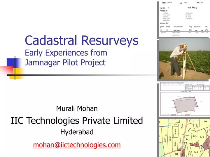
Cadastral Resurveys Early Experiences from Jamnagar Pilot Project. Murali Mohan IIC Technologies Private Limited Hyderabad mohan@iictechnologies.com. Presentation Outline. ‘A-B-C’ of Resurvey The Cadastral C ontrol Sample Results Quality Checks Cadastral Dynamics

E N D
Cadastral ResurveysEarly Experiences from Jamnagar Pilot Project Murali Mohan IIC Technologies Private Limited Hyderabad mohan@iictechnologies.com
Presentation Outline • ‘A-B-C’ of Resurvey • The Cadastral Control • Sample Results • Quality Checks • Cadastral Dynamics • Learnings & Conclusions IIC Technologies Private Limited
A-B-C of Resurvey Form A Form B Form C IIC Technologies Private Limited
Control Grid • P/S/T • National Framework • Regional at Primary;Local in Tertiary • Leveling (geoid) • Enhancements • Dept to acquire SoI data pro-actively IIC Technologies Private Limited
Geoid Heights for Jamnagar Height Pavlis, N.K., S.A. Holmes, S.C. Kenyon, and J.K. Factor, An Earth Gravitational Model to Degree; 2160: EGM2008, presented at the 2008 General Assembly of the European Geosciences Union,; Vienna, Austria, April 13-18, 2008. IIC Technologies Private Limited
The cadastral maps of the study area IIC Technologies Private Limited
Tippan Conversion Convert IIC Technologies Private Limited
The Registers IIC Technologies Private Limited
Sy.no 158 has 3 sub-divisions 158p3 Parcel blocks; Adjacency with Govt. Lands IIC Technologies Private Limited
Correlation IIC Technologies Private Limited
From history.. • The field-to-field survey …. thoroughly revised during the past decade, it is final and will never have to be done again • In Bombay and Madras, where what is called the Raiyatwari system prevails, the boundaries of fields or holdings are invariable. • BADEN-POWELL , 1907 LAND REVENUE AND TENURE IN BRITISH INDIA IIC Technologies Private Limited
# QC Sub-system Scope 1 Input QC Checks the collected records (spatial and textual in both soft and hard copy formats) before passing them to Pre-Survey phase. 2 Geodetic Network QC Checks the control point density, accuracy through network closure, observation periods, Monumentation, documenting. 3 Traverse QC Checks the field notes, traverse closures Random field checks for area correctness and attribute completeness. Form-B completeness. 4 Draft LPM QC Checks the proper data ingest to LPM software, spatial and attribute data, plot scale, LPM format, completeness 5 Product QC Checks the completeness in all the generated registers, maps. Checks the plots for symbols, colours, completeness, layers, formats QC Systems IIC Technologies Private Limited
Entities of a CadastralDatabase • The attributes of cadastral objects: • temporal (e.g., value of a parcel) • non-temporal (e.g. name of a village) • The relationships between cadastral objects can be: • spatial (e.g. village-district relationship) • temporal (e.g. Parcel-Khatedar relationship) • spatiotemporal (e.g. Shape-Change with time) IIC Technologies Private Limited
Dynamics IIC Technologies Private Limited
Dynamics: Parcels within Parcels IIC Technologies Private Limited
2002 ‘05 IIC Technologies Private Limited
Resurvey: Probable Issues Data Anomalies • Data redundancy (e.g. multiple records) • Data inconsistency (e.g. missing land parcels; new parcels) • Geometry problems Field Issues • Farmer’s presence • Sub-divisions • Monument tampering • Non-acceptance of Notices IIC Technologies Private Limited
Observations / Conclusions • Interactions of DB InterOperability • Design as spatio-temporal database • Use of UTM / WGS84 / MSL height as Control Grid • Maintenance of DB (pro-active, reactive) • Flying of conterminous areas • Unique-id tag for stake-holder IIC Technologies Private Limited
Observations / Conclusions.. • Maintenance of monuments • Village accountant (Talati) • There is no SINGLE/PERFECT cadastral model • Model making in India to begin, evolve • Backbone of NLRMP essential IIC Technologies Private Limited
SOLUTION Observations / Conclusions.. Operations P R O J E C T S C H E D U L E IIC Technologies Private Limited
Mining Lease Noise Restriction PlanningZone Parcel Heritage Protection Area Interests outgrow the parcel extent (Bennett et al., 2005) IIC Technologies Private Limited
“We have only to guard the ryots from oppression and they will create the revenue for us”Munro IIC Technologies Private Limited
IIC Technologies Hydrographic & Marine Applications & Services Strategic Software Solutions CAD, CAM, CAE Cadastral,GIS, Photogrammetry IIC Academy The IICSince 1993, ~1000 employees, Global footprint, ISO certified IIC Technologies Private Limited
Technical Capabilities • Areas of Expertise • GIS, Photogrammetry, LIDAR • Cadastral Surveys • Aerial flying • LiDAR Data Processing • Marine Solutions • Corridor Mapping • GIS Applications in Urban Management, Cadastral Information System, Utility Infra-structure Management, Highway Asset Management, Gas Pipeline Corridor Risk Classification • Application Development IIC Technologies Private Limited