Download
1 / 19
200 likes | 336 Views
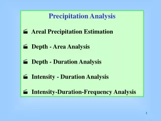
Precipitation Estimation and Analysis. Colorado Basin River Forecast Center. Outline. Precipitation analysis methodology Web sites overview. Quantitative Precipitation Estimates (QPE). Rain Gage Measurement. Gridded Precipitation Estimate. GOES Satellite Estimate. Radar Estimate.

E N D
Precipitation Estimation and Analysis Colorado Basin River Forecast Center
Outline • Precipitation analysis methodology • Web sites overview
Quantitative Precipitation Estimates (QPE) Rain Gage Measurement Gridded Precipitation Estimate GOES Satellite Estimate Radar Estimate Climate patterns Forecaster Analysis
QPE (con’t) • Produced hourly, daily, monthly and seasonally • Analysis procedures address bad sensors (e.g. frozen gauges) • Daily_qc software: Screens gauges based on nearby gauges using PRISM climatology to spatially interpolate • Multi-sensor Precipitation Estimator: Combines gauge, radar, and sometimes satellite estimates • Output available through webpages
Area selection (or just click on map) Time period selection www.srh.noaa.gov/rfcshare/precip_analysis_hourly.php
Area selection (or just click on map) Time period selection Product selection Water.weather.gov
Discussion Questions • What information – if any – do you need about how the precipitation analysis was constructed? • How useful is the precipitation analysis? How could it be more useful? • How do you know if the analysis is “good enough” for your purposes? What is “good enough”? • Are the precipitation pages useful? • Is there anything you particularly like about the precipitation webpages? • Is there anything you dislike about the precipitation webpages • What additional features would you like to see on the webpages?