Download
1 / 25
250 likes | 443 Views
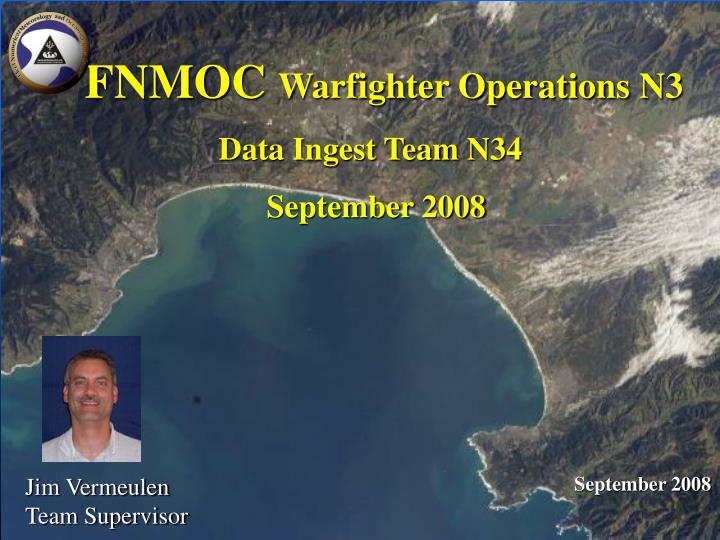
FNMOC Warfighter Operations N3. Data Ingest Team N34 September 2008. September 2008. Jim Vermeulen Team Supervisor. Team Charter. The Data Ingest Team will implement, evaluate, maintain and improve:

E N D
FNMOC Warfighter Operations N3 Data Ingest Team N34 September 2008 September 2008 Jim Vermeulen Team Supervisor
Team Charter The Data Ingest Team will implement, evaluate, maintain and improve: • decoding and quality control systems for both conventional and satellite remotely-sensed METOC data • (2) software systems to manage both real-time and historical METOC model output and observational data, and provide these products in standard formats for transmission to external customers. • (3) Interagency coordination and support among the nations OPC’s (COPC, CSAB, ODAA, CCM, OCM) • The Data Ingest Team will understand the flow of data and their associated functionalities through out the enterprise from ingest to distribution.
Overview • 1. Data Ingest – Models and OBSFEP for METCAST • a. Conventional observation new data types • b. Satellite new data types • Quality Control and Data Preparation (QC) • a. ATMOSPHERIC (TRANSMET and SAT_FGGE) • b. OCEANOGRAPHIC (NCODA) • 3. Satellite Data Processing • a. Radiances, retrievals, profiles, and feature track winds for NWP • b. Tactical imagery – Sat_focus • c. Tropical Cyclone tracking - TCWEB • Interagency Support • a. Committee Operational Processing Centers (COPC) • b. Cooperative Support and Backup (CSAB) • c. Joint Action Groups (JAGS) - Acquisition/Assimilation, Communications, Modeling
METOC Data Flow Raw Observations Model Products Decoders Analysis/ Forecast Models Customers Quality Control Applications Applications Products Data Products
Working On • Conventional Observations New Data Types • a. UAVs/GLIDERS - (Unmanned Arial/Oceanographic Vehicles) - NAVO • b. Navy ACARS - (Aircraft Communications Addressing and Reporting System for Aircraft Meteorological Data Relay for P-8A MMA) - NAVAIR • c. European AMDARS - Aircraft Meteorological Data Relay System - AFWA • d. J-OBS - (Joint Observations Submission) – web based • e. RRS - (Radiosonde Replacement System) GPS based - NWS TOC • f.NSW Directorate Iridium Wave Buoys/Atmospheric Sensors - CNMOC • g. Weather Extractor Computer - LBSF&I Volumetric Radar scans from the SHIP to SHORE - Communication SFTP IA constraints - SPAWAR • B. Transition to A2 • C. Single Data Decoder - Decoder monitor (data driven versus batch driven) • Issues: • Personnel spending more time on system integrations vice adding value • Personnel losses - Team was 18 now 9.
METOC Data Flow Raw Observations Model Products Decoders Analysis/ Forecast Models Customers Quality Control Applications Applications Products Data Products
MET_QC Including Model Ingest Silo MODS decoders AMS Decoded files Trans_met ISIS satellite LLT Mods2isis Tfiles NAVDAS NOGAPS Sat_fgge ISIS unqc'ed LLT Qc_isis Aircraft_qc sat files ISIS qc'ed LLT MVOI input files MVOI COAMPS Coverage_plots Intranet Inhouse FNMOC Internet fnmoc.navy.mil AOSbfur,job - Sue Uhrich AOSGrADS_alty.job - P. Wittman AOSarc_llt.job - Bill Anderson AMSmverif.job - Jeff Lerner AOSshiplst.job - Sue Uhrich AOSribs.job - Sue Uhrich AOSsndfo.job - Sue Uhrich
NCODA Features Analysis Features 34 levels (surface – 5000 m depth) Varying configurations (grid domain/resolution) 12 and 24 hours Ops cycle frequency NCODA Products: Surface boundary conditions for NOGAPS and COAMPS. ¼° analysis provided to AFWA Ice concentration analyses provided to National Ice Patrol. The 3-D fields are used by TOPS for WebSAR application. Basis for ASW products for NAVO backup capability. Scheduled upgrades: Assimilation of Significant Wave Height Data, 1QFY08 07 Sept 2006 SST Analysis 07 Sept 2006 SST Anomalies
NCODA • Recent Implementations: • Operational backup for NAVO MODAS, 3QFY07 • Running 5 high-resolution regions: Hawaii, Indian Ocn, Med Sea, W_Atl, W_Pac • Assimilating METOP GAC SSTs, 4QFY07 • Assimilating classified observations, 2QFY07 • Receiving and processing NAVO data • NCODA Portlet on myNOP • 68 regions displaying SST, SSTA, Ice Coverage, and SST Climo. • COAMPS synched to latest version of NCODA vice older version, 2QFY07
NCODA Planned Upgrades • New data types: • METOP LAC SST, 2QFY08 • SSMIS Ice (F-16, -17), 2QFY08 • AMSR-E SST,2QFY08 • MSG SST, 4QFY08 • Transition to A2-0 system, 3QFY08 • Initialize GFDN coupled ocean system, 3QFY08 • Coupled to COAMPS-OS v1.7, 3QFY08 • Satellite wave altimetry data assimilation, 1QFY09
NAVO Backup Runs FNMOC runs NCODA for the following areas to support MODAS backup: Hawaii – 1/16 deg Indian Ocean – 1/16 deg Mediterranean Sea – 1/16 deg West Atlantic – 1/16 deg West Pacific – 1/16 deg Other NAVO areas derived from the Global 1/8 deg, 3-D Mercator projection run within 78 deg latitude bands FNMOC produces the following products for each of NAVO MODAS support areas: Wavelet (sound speed) NetCDF (temperature, salinity, sound speed) Shapefiles (surface duct frequency cutoff, SLD, depth excess)
QC/Data Preparation Accomplishments • Creation of hourly t-files and fgge files for CAAPS • Align same data with classified obs with same science NAVDAS versus MVOI • Transition to A2 • C. Implementation of classified observations into NCODA • D. NCODA backup to MODAS at NAVO
Satellite Data Processing • Radiances for NWP – AMSU, AIRS, IASI • Tactical Imagery SAT_FOCUS • Tropical Cyclone Tracking - TCWEB
Tropical Cyclone Web Page (TCWeb) • Multi sensor , data and imagery fusion • Aids JTWC and NHC forecasters and analysts in determining more accurate storm positions and intensities • Available to the public u.l. – GOES IR (color enhance) u.r. –GOES VIS l.l. - SSMI PCT/ GOES VIS l.r. – SSMI Composite/ GOES VIS New data types include AMSR-E, MSG, AQUA, TERRA, QUIKSCAT, WINDSAT, SSMIS
SIPRNET Satellite Focus 30 Jan 2002, 0740Z, SeaWiFS true color • FNMOC presentation of operational satellite products • In response to user request, region specific • Arabian Sea, Afghanistan, Persian Gulf • Where next? • MODIS, SeaWIFS true color/dust enhancement, feature tracking winds • New products – low cloud over snow, low clouds at night, convective cloud top heights • MODIS dust enhancement over the Northern Arabian Sea, true color over land. Dust over the ocean appears as shades of pink. Dry lakebeds over land (often representing sources of dust) are also indicated in pink. • Horizontal resolution of the data is 0.5 km.
Satellite Working On New Satellite Data Types a. METOP – 3rd polar satellite in the NPOESS constellation b. MTSAT HRIT - Japanese high resolution West Pacific Geostationary c. MODIS, AIRS, IASI, ASCAT, AVHRR 1km – NESDIS via DATMS-U - Issue: Bandwidth upgraded needed. d. DMSP F18 – November 2008 e. Altimetry – Jason2/Envisat wave height and sea surface height Satellite Programs a. Defense Meteorological Satellite Program – SSMI/S Cal/Val Team - Integrating DMSP Harris rack upgrade for continued real time backup b. WindSAT – NRL DC Risk Reduction for NPOESS MIS c. National Polar Orbiting Environmental Satellite System (NPOESS) - Issues: Facilities, DQM/E, NOGAPS/NAAPS ancillary data source - NPP data access and POM10 alignment, IDPS Installation Dates
Interagency Support • Committee Operational Processing Centers (COPC) • Cooperative Support and Backup (CSAB) • Joint Action Working Groups – Acquisition and Assimilation, Communications Management, Modeling • Joint Center for Satellite Data Assimilation • Issues NUOPC concerns MOA – Data Acquisition Processing Exchange (DAPE) Satellite Annex and Satellite CONOPS Modeling CONOPS (Navy non-concur on WRF) NPOESS Data Exploitation (backup and functionality)