Download
1 / 30
300 likes | 363 Views
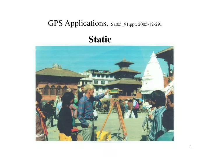
GPS Applications . Sat05_91.ppt, 2005-12-29. Static. GPS Applications . Sat05_91.ppt, 2005-12-29. Kinematic. GPS Applications, Static . Sat05_91.ppt, 2005-12-29. Precise positioning Positioning Services GPS aid in improving satellite orbits Earth orientation and rotation

E N D
GPS Applications, Static. Sat05_91.ppt, 2005-12-29. • Precise positioning • Positioning Services • GPS aid in improving satellite orbits • Earth orientation and rotation • Plate movements • Datum-shifts • Heights for ground gravity • Heights for levelling – Height anomaly determination • Clock-corrections and time-transfer • Instrument calibration (e.g. radar-altimeter, SAR) • Ionospheric and tropospheric mapping
GPS Applications, Kinematic. Sat05_91.ppt, 2005-12-29. Slow movements • Ice Caps, Glaciers • Post-glacial rebound • Tide-gauges – ocean loading • Land-slides • Earth-quakes • Engineering constructions (dams, buildings, railroad-tracks) • Volcanoes
GPS Applications, Kinematic. Sat05_91.ppt, 2005-12-29. Moving objects • Photogrammetry (mapping) • Laser mapping • LIDAR • Radar • Waveheights on the ocean • Airborne and satellite gravity • Multipath ocean surface mapping
GPS Applications, Kinematic. Sat05_91.ppt, 2005-12-29. Real-time Kinematic positioning • Navigation • Guidance and control
GPS Applications, Static. Sat05_91.ppt, 2005-12-29. Positioning
GPS Applications, Static. Sat05_91.ppt, 2005-12-29. Positioning services: Public: http://igscb.jpl.nasa.gov Commercial: http://www.trimblecenter.dk/ http://gpsnet.dk/
GPS Applications, Static. Sat05_91.ppt, 2005-12-29. Plate-movements
GPS Applications, Static. Sat05_91.ppt, 2005-12-29. One man’s noise is another man’s signal
GPS Applications, Static. Sat05_91.ppt, 2005-12-29. One man’s noise is another man’s signal
Troposphere. Sat05_91.ppt, 2005-12-29. http://op.gfz-potsdam.de/champ/ro/001_single_diff.html http://www.epncb.oma.be/_trackingnetwork/maps.html
Troposphere from Ground. Sat05_91.ppt, 2005-12-29. http://www.epncb.oma.be/_organisation/projects/trop_sp/index.html#map
Troposphere from ground. Sat05_91.ppt, 2005-12-29. http://www.epncb.oma.be/_organisation/projects/trop_sp/zpd.gif
Ionosphere. Sat05_91.ppt, 2005-12-29. Observation equation: = R+cdtu+cdts+cdttrop-cdtion+N+ Or C is the same for L1 and L2 .
Ionosphere from CODE. Sat05_91.ppt, 2005-12-29. http://www.aiub.unibe.ch/ionosphere/gim_all.gif