Download
1 / 29
290 likes | 298 Views
G.P.S. Presented by:. Contents. What’s a Sat nav ? What’s a GPS ? History Other Systems Components of the GPS Basic concept of GPS Applications Conclusion. What’s a Sat nav ?.

E N D
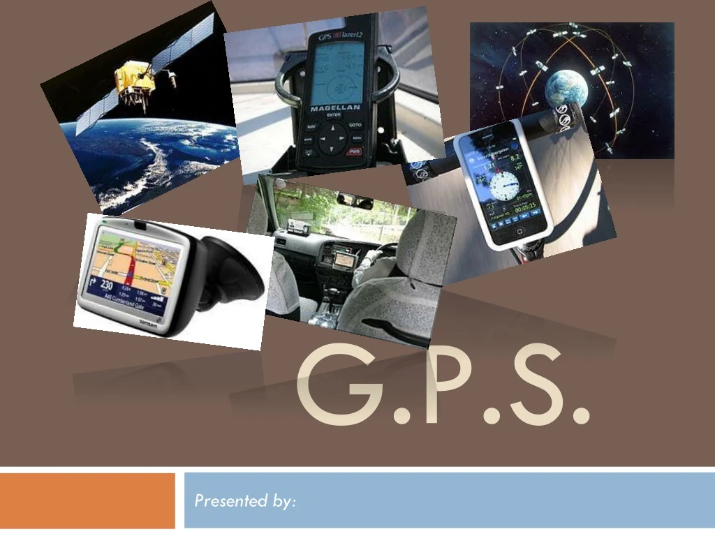
G.P.S. Presented by:
Contents • What’s a Sat nav ? • What’s a GPS ? • History • Other Systems • Components of the GPS • Basic concept of GPS • Applications • Conclusion
What’s a Sat nav ? • A satellite navigation or sat nav system is a system of satellites that provide autonomous geo-spatial positioning with global coverage. • It allows small electronic receivers to determine their location (longitude, latitude, and altitude) to within a few metres using time signals transmitted along a line-of-sight by radio from satellites. • A satellite navigation system with global coverage may be termed a global navigation satellite system or GNSS.
What’s GPS? • The Global Positioning System (GPS) is a space-based global navigation satellite system (GNSS) that provides location and time information in all weather, anywhere on or near the Earth.
maintained by the United States government • freely accessible by anyone with a GPS receiver • was developed in 1973 to overcome the limitations of previous navigation systems. • was created and realized by the USDOD • was originally run with 24 satellites. • became fully operational in 1994.
History • In 1978, the first experimental Block-I GPS satellite was launched. • The Gulf War from 1990 to 1991, was the first conflict where GPS was widely used. • December 1993, GPS achieved initial operational capability, indicating a full constellation (24 satellites) was available and providing the Standard Positioning Service. • November 2004, first successful tests of assisted GPS for mobile phones. • The most recent launch was on May 28, 2010. • The oldest GPS satellite still operational was launched on November 26, 1990.
Other GNSS … • In addition to GPS, other systems are in use or under development. • The Russian GLObal NAvigation Satellite System (GLONASS) was in use by only the Russian military, until it was made fully available to civilians in 2007. • There are also the planned Chinese Compass navigation system • and the European Union's Galileo positioning system.
Components of the GPS There are three major components of the GPS: • The Space Segment. • The Control Segment. • The User Segment.
1- The Space Segment • Is a constellation of 30 Earth-orbiting satellites. • It provides worldwide navigation coverage with a possible accuracy to 15 metres. • Each of these 1360 to 1820 kg. solar-powered satellites circles the globe at about 19,300 km., every 12 hours, and each has a service life of approx. ten years. • The orbits are arranged so that at any time, anywhere on Earth, there are at least four satellites "visible".
1- The Space Segment • Unlaunched GPS satellite on display at the San Diego Air & Space Museum
2- The Control Segment • Controls the satellites by providing them with continuous corrected orbital and clock data. • is composed of • a master control station (MCS), • an alternate master control station, • four dedicated ground antennas and • six dedicated monitor stations • The unmanned stations constantly receive data from the satellites, and send that to the master control for correction and retransmission.
Ground monitor station used from 1984 to 2007, on display at the Air Force Space & Missile Museum 2- The Control Segment
GPS receivers come in a variety of formats, from devices integrated into cars, phones, and watches, to dedicated devices 3- The User Segment
3- The User Segment • A GPS receiver's job is to: • locate four or more of the satellites, • calculate the distance to each, • use this information to deduce its own location. • This operation is based on a mathematical principle called trilateration.
Trilateration is a method for determining the intersections of three sphere surfaces given the centers and radii of the three spheres. Trilateration …?
2-D Trilateration …? • Imagine you are totally lost somewhere - for whatever reason- you have absolutely no clue where you are. You find a friendly local and ask, "Where am I?" He says, "You are 625 km from Mount Isa." • This is a nice, hard fact, but it is not particularly useful by itself. You could be anywhere on a circle around Mt. Isa that has a radius of 625 km.
2-D Trilateration …? • You ask somebody else where you are, and she says, "You are 690 km from Emerald." • Now you're getting somewhere. If you combine this information with the Mt. Isa information, you have two circles that intersect. You now know that you must be at one of these two intersection points, if you are 625 km from Mt. Isa and 690 km from Emerald.
2-D Trilateration …? • If a third person tells you that you are 615 km from Dirranbandi, you can eliminate one of the possibilities, because the third circle will only intersect with one of these points. • You now know exactly where you are. ( if you have a map.) • This same concept works in three-dimensional space, as well, but we are dealing with spheres instead of circles.
Basic concept of GPS • A GPS receiver calculates its position by precisely timing the signals sent by GPS satellites high above the Earth. • Each satellite continually transmits messages that include: • the time the message was transmitted • precise orbital information (position)
Applications (1) • The first and most used application of GPS technology is to assist people with determining where they are located. • The data obtained from a GPS, however it can be applied to a variety of other uses such as : • creating a map, • ascertaining the best route between two points, • locating a lost person or stolen object, • monitoring the movement of a person or object, • determining altitude, • calculating speed.
Applications (2) • Many vehicles use GPS to provide drivers with directions or other information, such as • alternate traffic routes, • automatically call for help if the airbag is deployed, • dispatch roadside assistance, • unlock the driver's side door if keys are locked in the cars, • track the vehicle if it is stolen.
Applications (3) • Some GPS receivers work in conjunction with cellular wireless network
While originally a military project, GPS is considered a dual-use technology, meaning it has significant military and civilian applications. Conclusion Attaching a GPS guidance kit to a 'dumb' bomb,
GPS has become a widely deployed and useful tool for : commerce, scientific uses, tracking, and surveillance. Conclusion This antenna is mounted on the roof of a hut containing a scientific experiment needing precise timing.
GPS's accurate time facilitates everyday activities such as: banking, mobile phone operations, and even the control of power grids by allowing well synchronized hand-off switching Conclusion
Thnaks for your attention ! Any questions ?