Download
1 / 22
220 likes | 315 Views
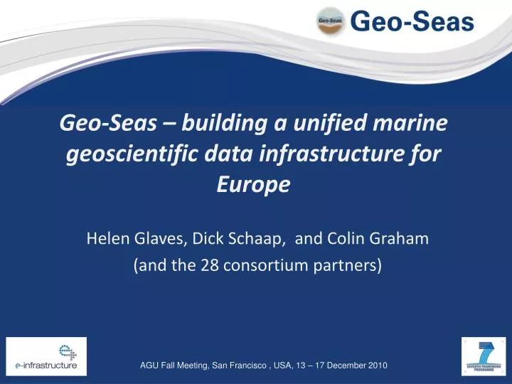
Geo-Seas – building a unified marine geoscientific data infrastructure for Europe. Helen Glaves, Dick Schaap , and Colin Graham (and the 28 consortium partners). What is Geo-Seas? Objectives Methodology Where are we now? Key outcomes. What is Geo-Seas?.

E N D
Geo-Seas – building a unified marine geoscientific data infrastructure for Europe Helen Glaves, Dick Schaap, and Colin Graham (and the 28 consortium partners)
What is Geo-Seas? Objectives Methodology Where are we now? Key outcomes
What is Geo-Seas? • EU Framework 7 project • 1st May 2009 until 31 October 2012 • 26 marine geoscience data centres (Geo-Seas nodes) • 28 partner organisations from 17 European maritime countries
Partners • Belgium (MUMM) • Bulgaria (IO-BAS) • Denmark (GEUS) • Estonia (EGK) • France (IFREMER, BRGM, CNRS, SHOM) • Germany (BSH, BGR) • Greece (IGME,NOA) • Italy (OGS) • Ireland (GSI, UCC) • Lithuania (LIGG) • Latvia (LU) • Netherlands (MARIS, TNO, EU-Consult) • Norway (NGU) • Poland (PGI) • Portugal (INETI) • Spain (IGME, UB) • United Kingdom (NERC, CEFAS, CIRIA)
Partners NGU EGK LU BGS GEUS LIGG GSI BSH UCC PGI MARIS TNO CEFAS BGR CIRIA MUMM SHOM BRGM CNRS IFREMER OGS IO-BAS UB IGME LNEG IGME
Objectives • Creation of a unified marine geoscientific data e-infrastructure across Europe (data grid) • Facilitate the location, accession and delivery of federated marine geological and geophysical datasets • Provide user-access to harmonized marine geological and geophysical metadata and data in common, standard formats via a single portal.
Objectives • Develop interoperability with other data types • Underpin key European Directives such as INSPIRE and framework programmes e.g. GEOSS (Global Earth Observation System of Systems) and GMES (Global Monitoring for Environment and Security)
Methodology • Adopt pre-existing SeaDataNet methodologies to interconnect the geological and geophysical data centres • Use of pre-existing data standards and metadata sets • Identification of products and services required by users of marine data through analysis of responses to online questionnaire. • Development of a common index of data products and services • Harmonisation of data formats and exchange formats
Methodology • Adopt pre-existing SeaDataNet methodologies to interconnect the geological and geophysical data centres • Use of pre-existing data standards and metadata sets • Identification of products and services required by users of marine data through analysis of responses to online questionnaire. • Development of a common index of data products and services • Harmonisation of data formats and exchange formats
Data Standards • ISO 19115 metadata standard for all metadata directories • common and controlled vocabularies, including international content governance e.g. GeoSciML • OGC standards for mapping and viewing services
Metadata EuroCore EU SeaSed EU Marsin EuroSeismic Geo-Seas ISO 19115 compliant SEISCAN SEISCANEX
Methodology • Adopt pre-existing SeaDataNet methodologies to interconnect the geological and geophysical data centres • Use of pre-existing data standards and metadata sets • Identification of products and services required by users of marine data through analysis of responses to online questionnaire. • Development of a common index of data products and services • Harmonisation of data formats and exchange formats
Methodology • Adopt pre-existing SeaDataNet methodologies to interconnect the geological and geophysical data centres • Use of pre-existing data standards and metadata sets • Identification of products and services required by users of marine data through analysis of responses to online questionnaire. • Development of a common index of data products and services • Harmonisation of data formats and exchange formats
Methodology • Adopt pre-existing SeaDataNet methodologies to interconnect the geological and geophysical data centres • Use of pre-existing data standards and metadata sets • Identification of products and services required by users of marine data through analysis of responses to online questionnaire. • Development of a common index of data products and services • Harmonisation of data formats and exchange formats
Agreed data types and formats Geological data (point) ODV & GeoSciML Geological data (gridded) NetCDF Grab samples ODV & GeoSciML Specimen ODV & GeoSciML Rock Cores ODV & GeoSciML Gravimetry (tracking) ODV Gravimetry (gridded) NetCDF Magnetic (tracking) ODV Magnetic (gridded) NetCDF
Agreed data types and formats Bathymetry (tracking) ODV Bathymetry (gridded & swath) NetCDF Borehole ODV & GeoSciML Heat Flow ODV Seismics (digital data) SEG-Y Seismics (scanned images) TIFF / PNG Seismics (navigation) UKOOA Side scan sonar XTF Images PNG Maps (data products) GeoSciML
Where are we now? Community building activities completed User questionnaire conducted Standards agreed by partners Portal available via Geo-Seas website Test data available
Key outcomes • Improve the discovery and access to federated marine geological and geophysical data and data products • Provision of software tools allowing use of geoscientific data in combination with other data in a multidisciplinary way • Improved interoperability of geological and geophysical data with other data and data products
Key outcomes • Increased interoperability between disciplines, organisations and countries . Also with other key European framework projects e.g. EMODNet and One Geology- Europe • Underpinning European directives e.g. INSPIRE, recent global and European frameworks e.g. GEOSS and GMES