Download
1 / 17
180 likes | 277 Views
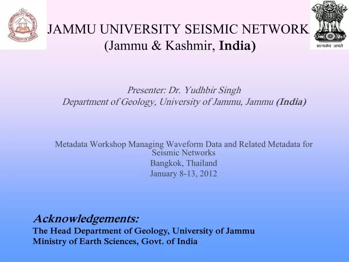
JAMMU UNIVERSITY SEISMIC NETWORK (Jammu & Kashmir, India). Presenter: Dr. Yudhbir Singh Department of Geology, University of Jammu, Jammu (India) Metadata Workshop Managing Waveform Data and Related Metadata for Seismic Networks Bangkok, Thailand January 8-13, 2012. Acknowledgements:

E N D
JAMMU UNIVERSITY SEISMIC NETWORK (Jammu & Kashmir, India) Presenter: Dr. Yudhbir Singh Department of Geology, University of Jammu, Jammu (India) Metadata Workshop Managing Waveform Data and Related Metadata for Seismic Networks Bangkok, Thailand January 8-13, 2012 Acknowledgements: The Head Department of Geology, University of Jammu Ministry of Earth Sciences, Govt. of India
INTRODUCTION The state of Jammu & Kashmir is the western most extension of the Himalayan mountain range in India It comprises of the Siwalik, Pir Panjal, Zanskar, Karakoram and Ladakh mountain ranges These mountain ranges are traversed by number of structural features such as Main Frontal Thrust (MFT), Main Boundary Thrust (MBT), Main Central Thrust (MCT), Indo-Tsangpo Suture Zone (ITSZ) in the State of Jammu and Kashmir making it very vulnerable to earthquakes Routine small tremors, moderate to large earthquakes have hit nearly all parts of the state from time to time
Forecast for future earthquakes in the seismic Gaps of Himalaya (after Roger Bilham et al.)
After 2005 earthquake Ministry of Earth Science Govt. of India sanctioned four seismic observatories to University of Jammu to put more focus on the seismic activities in the state Jammu University Seismic Network Consists of 4 Seismic Observatories • The present network of 4 stations is first of its kind in the state of Jammu and Kashmir • The seismic network in the region has been put in place in 2009 and since then continuous seismic data is being generated
Solar panels EQUIPMENTS AT STATIONS Digitizer, Solar charge controller and Battery Seismometer Fixed GPS Battery Solar charge controller Portable Digitizer
INSTRUMENTS SEISMOMETER: Broadband Seismometer (Trillium 240)---- Nanometrics Make DIGITIZER : Taurus --- Nanometrics Make GPS Receiver: 8 channels Sensor Inputs • Data Storage: • Removable media: Compact Flash • Data Extraction: miniSEED • Analog Processor (TAP) • 3 channels 24-bit data channels
DATA ACQUISITION AND OTHER FACTS • Jammu University station is located in the University Campus and data is being downloaded on daily basis • Other 3 seismic stations are remote stations (i.e. 240 km from the University Campus station) • The three remote stations are powered by solar power • The data from the remote stations is manually downloaded at regular intervals • The instrument functionality of the off-site stations is checked regularly by the persons employed for the purpose • The retrieved data is being sent to Seismology Division, Ministry of Earth Sciences, Govt. of India on regular basis
Instrument Spectral Response of Jammu, Poonch, Bani and Doru observatory
Instrument Spectral Response of Instrument at Doru and Bani observatory
FUTURE ACTIVITIES Augmentation of existing seismological network with more observatories with VSAT communication facilities for monitoring earthquake activity in and around J&K
THANKS Photographs of 2005 Kashmir Earthquake