Download
1 / 27
290 likes | 540 Views
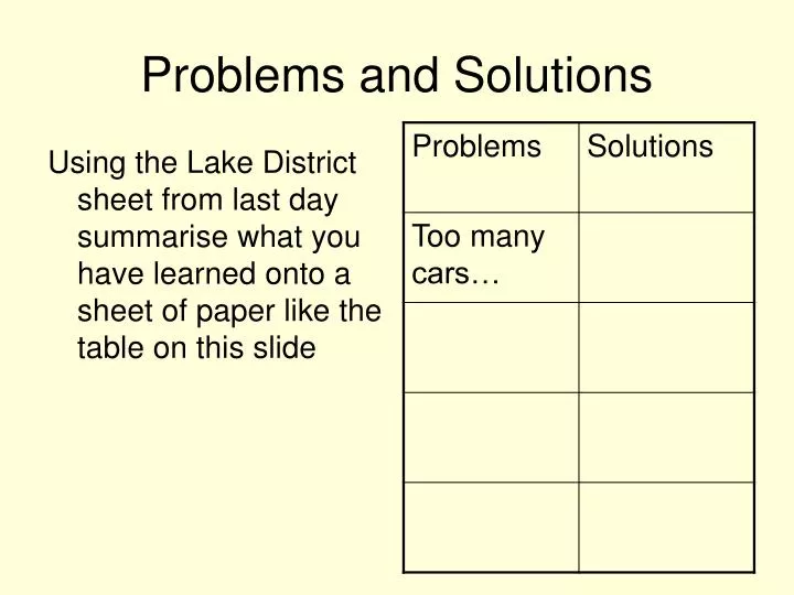
Problems and Solutions. Using the Lake District sheet from last day summarise what you have learned onto a sheet of paper like the table on this slide. The Lake District: Problems and Conflicts. Key conflicts in the Lake District: Traffic and transport issues, Uses of Windermere,

E N D
Problems and Solutions Using the Lake District sheet from last day summarise what you have learned onto a sheet of paper like the table on this slide
The Lake District: Problems and Conflicts Key conflicts in the Lake District: Traffic and transport issues, Uses of Windermere, Footpath Erosion.
“Reducing the numbers of people going into the hills must never be seen as a solution. Our need for them is too great. The challenge,therefore, is to find ways of enabling people to venture into the hills without spoiling them”
Increasing pressures on the Lake District • Visits to the countryside have increased • Traditional Lakeland industries struggling to survive, locals looking for new ways of making a living • Danger that uncontrolled development could threaten the natural beauty, wildlife and cultural heritage of the area • The Lake District needs to be carefully managed
Traffic Issues Pollution Noise Visual Intrusion Congestion Honeypot Sites Parking Hazards to vulnerable road users
The Lake District Traffic Management Initiative The Lake District Traffic Management Initiative (LDTMI) was set up in 1993 as a partnership between Cumbria County Council (CCC), the LDNPA, Cumbria Tourist Board (CTB) and the Countryside Commission (now the Countryside Agency). The initiative was to run for 3 years, to ‘progress the development of solutions to traffic and transport issues in the National Park’.
MAIN AIMS ENABLE LOCAL COMMUNITY TO GO ABOUT ITS NORMAL BUSINESS MAINTAIN THE TOURISM INDUSTRY AND ASSIST IT TO BECOME SUSTAINABLE REDUCE TRAFFIC IMPACT ON THE ENVIRONMENT ENSURE THAT THE NATIONAL PARK REMAINS ACCESSIBLE FOR QUIET ENJOYMENT OFFER ALTERNATIVE MODES OF TRANSPORT TO THE CAR TAILOR TRAFFIC TO THE ABILITY OF THE EXISTING ROADS TO COPE
Area Action Plans The Area Action Plans are a series of agreed local plans, created by the LDTMI, set out the tourism development and marketing priorities for 2007-2008. Each Action Plan seeks to outline the role that it can play in assisting Cumbria's Destination Management Plan 2007-2008.
Keswick Area Action Plan Keswick, set in the glorious countryside of the northern half of the Lake District National Park is a favourite location for millions of visitors a year, yet the apparent prosperity and well being of this community masks serious concern on issues such as the shortage of affordable housing for local people, a narrow range of employment and low wage levels, inadequate public transport and car parking, few facilities for young families and youth and many others.
Town centre pedestrianised • Work has also begun on reducing traffic impact in rural areas of the Keswick District.Speed limits in Borrowdale and St Johns in the Vale may be introduced as long as this does not lead to too much sign proliferation.
Elterwater – Restricted Parking • Elterwater is a popular but very small village which can not take a lot of traffic. As part of the LDTMI they wanted: Promote better Use of peripheral Car parks Prevent Parking In the most Congested areas Not to park a around The village green To preserve Traditional aspect Put up advisory Speed limits (signs To be sympathetic With landscape) Permit holder Parking for local residents Prevent parking on Grass verges as It causes erosion
What was done… • Creation of a restricted parking zone – 11 on street spaces, one disabled with waiting limited to 2 hours between 9am and 6pm. 2 on street spaces with a limit of 20 mins and 8 permit only spaces for locals. • New 20mph advisory limit signs • Improved signing for car parks outside village
Results • Surveys were carried out to assess the scheme in 1997 these generally showed success. • However measures did not work well around the village green. Timing restrictions were exceeded and people parked out with marked bays (Due to demand by patrons of the Britannia Inn). • Parking signs were occasionally subject to vandalism. • However the busses had increased revenue and found it easier to move around town
What next? • 2-3 parking spaces outside the Britannia Inn are not in place and restrictions are relaxed in winter and overnight
Transport around the Lake District • Buses are seen as a major form of public transport and during the summer months the LDNPA subsidises 5 extra buses including the Langdale Rambler bus which proved to be a huge success Bus runs from Ambleside through Elterwater to Langdale Fell
Car – Numerous Park and Ride schemes like Staveley to Lake Windermere • Roads which only allow buses
Cycling – this is actively encouraged by the LDNPA. New cycle paths are hoped to encourage people to go to work and school. The Kendal-Keswick cycle route is the most popular for tourists and forms part of the National Cycleway Network
Train – the only railway link into the National Park is from Oxenholme to Windermere. • The old railway route between Penrith to Keswick is due to be opened and it should attract a further 410,000 visitor to the park
Past paper question 2005 • For any National Park or Upland Area you have studied describe the problems traffic congestion can cause and explain how an increased volume of traffic is managed. Comment on the effectiveness of this management. • 12 Marks Mention things like: • One way streets, bypasses, wardens, parking restrictions • Extra buses • Encourage use of public transport eg park and ride, minibus. • Use of cycle paths, bridle ways, long distance paths. • Use of permits to separate locals and visitors.
Footpath Erosion http://www.youtube.com/watch?v=5LW38ht3hv4&feature=related Footpath erosion can be defined as “where the vegetation and soil structure has been lost or substantially altered due to concentrated people pressures.” The Lake District attracts approximately 12 million visitors per year. A survey in 1994 showed that 87% of visitors use the footpaths.The large number of tourists puts the environment under great pressure, and footpath erosion can create huge scars on the landscape.
Over time, grass is compacted by feet, and worn away. Because of the steepness of the hills, rain washes the soil away into the valleys. This extra soil falls into the streams, and ends up in lakes where the saltation causes havoc for fish and other species.
Problems • Gulleying of the path line • Braiding of the path into a number of routes • Pigeon holing of the path surface • Loss of vegetation • Short cutting at corners especially on zig-zag paths http://www.youtube.com/watch?v=14r6bg78MRI&feature=related
Use the Footpath Erosion factsheet to answer the following questions: • What are the physical and human effects which lead to footpath erosion? • A seriously eroded footpath is evidence of conflict between what two purposes? • Briefly describe the guiding principles of repair and maintenance of footpaths in open country. • Which would you argue is best for fixing footpaths, stone pitching or sub soiling? • Why did the path at whiteless pike need fixed? How did they fix it? • Where did most of the funding come from to fix the paths?