Download
1 / 39
390 likes | 510 Views
Modeling of Flows in GIS. . Michael F. Goodchild Alan Glennon

E N D
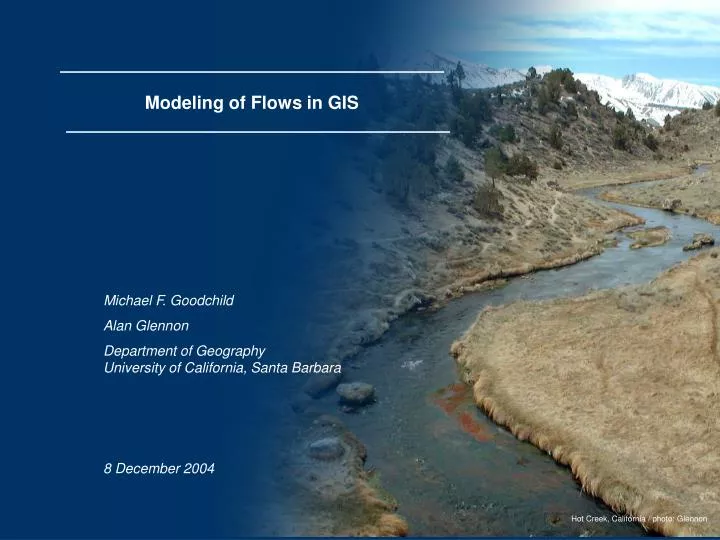
Modeling of Flows in GIS .Michael F. Goodchild Alan Glennon Department of Geography University of California, Santa Barbara 8 December 2004 Hot Creek, California / photo: Glennon
Data modeling issues • Mixtures of primitive elements • the lower Colorado • Linear features with transverse detail • the coastal zone, railroads • Fields of objects • viewsheds, watersheds • Interactions over space • attributes of pairs of objects • association classes
Dynamics • moving objects • tracking vehicles as points • objects that change shape • imaging vehicles • objects with changing internal structure • severe storms
Helix representation Spine: expresses spatio-temporal 3-D movement of the center of mass. Prongs: express expansion or collapse of the object’s outline
Flows • A common type of data in: • hydrology, atmospheric science • social science • Channeled • migration • streamflow • Unchanneled • overland flow • ocean currents
Outline • Purpose • Model Development • Implementation • Future Work slide 2 / 22
Purpose Broader Context • Formalize the concept of flow in geographic space. • Create a framework to store flow information in GIS. • Create tools to access flow information in GIS for visualization and analysis. • Allow sharing / provide common information format for flows within GIS. • The way flow data is organized influences the analyses that can be conducted. • Ontology of flow a better understanding / characterization of geographic dynamics. • Expand the capabilities of GIS. slide 3 / 22
Tobler’s Flow Mapper Program slide 4 / 22
Spatial Interaction Table: Human Migration • Minard’s Map of Napoleon’s March to Moscow • Karst Watershed Flow Routes Use Cases slide 7 / 22 Source: The Napoleon Foundation
slide 8 / 22 Source: U.S. Census Bureau, Census 2000
slide 9 / 22 Source: Tufte, 2001
Cave Survey Book / photo: Glennon Mill Hole, Kentucky / photo: Jasper
Tests of a data model • provides "slots" to store everything relevant to the use case • identifies the classes present on the map • points, lines, areas, annotation • specialization of lines as flows • allows the map to be recreated from the data model
* 0..1 MINARD NAPOLEON MAP 0..2 * INTERACTION * 0..1 KARST FLOW ROUTES 0..2 * ORIGINAL USE CASE MODELS 0..1
* 0..1 0..2 * 0..1 Generic Flow Model
Generic Flow Model slide 13 / 22
Use Case: Human Migration slide 14 / 22
Use Case: Minard Map slide 16 / 22
Use Case: Karst Watershed Flow Routes slide 18 / 22
Flow Mapper • Cartography handled semi-automatically (front-loaded cartography). • Task-specific GIS: user is limited to the software’s existing analytical tools (customized queries are not possible). • Creates SVG output. • Stand-alone, single-function software. Current version 1.1. • Represents flows from an n x n interaction matrix and set of point coordinates (text files as inputs). • Depicts two-way, net, and gross flows. • Rapid calculation and visualization.
Flow Data Model Tools • Set of ArcGIS macros to allow import, export, and visualization of flows using the Flow Data Model. Current version is beta, v0.69b. • Coded and designed in VBA. • Incorporates capabilities of Flow Mapper into ArcGIS, allowing flexibility of ArcGIS’ generalized spatial analysis platform. • Calculates and represents gross, net, and two-way flows from the Flow Data Model. • User responsible for cartographic output; relies on ArcGIS platform (end-loaded cartography). • Interaction matrix import process is similar to Flow Mapper (requiring text files as input). • Tasks are modularized to increase flexibility in data inputs and analysis. • ArcGIS file types as outputs.
Ongoing & Future Work, and Wishlist • Integrate with specialized data models (ArcHydro, UNETRANS, etc) • Finish data extraction functionality • Finish FlowMapper importer • Need to move to industrial strength code • Need extensions to ArcGIS cartographic tools • Generalize to the rectangular case (origins and destinations distinct) • Flow on polyline • Integrate with polyline m (flow as function of m) • Within-feature flows • Analysis routines • Continuous (unchanneled) case (flow as a vector field) • Animation of flows Alan in Coal Trace Cave, KY / photo: G. Berdeaux slide 20 / 22 Alan in Talley Cave, KY / photo: C. Groves
Acknowledgments Waldo Tobler, University of California, Santa Barbara Jack Dangermond and Rhonda Pfaff, ESRI Tom Cova, University of Utah May Yuan, University of Oklahoma Skogafoss, Iceland / photo: Glennon