Download
1 / 19
190 likes | 285 Views
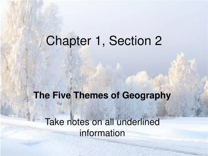
Chapter 1, Section 2. The Five Themes of Geography Take notes on all underlined information. Geography. Geography is the study of the earth. Geographers study oceans, plant life, landforms and people. Geographers study how the earth and its people affect each other.

E N D
Chapter 1, Section 2 The Five Themes of Geography Take notes on all underlined information
Geography • Geography is the study of the earth. • Geographers study oceans, plant life, landforms and people. • Geographers study how the earth and its people affect each other.
The 5 Themes of Geography • Geographers ask two basic questions: • Where are things located? • Why are they there? • The 5 Themes of Geography help them organize their questions:
The 5 Themes: Location • The first theme, Location, can be divided into two categories: • Absolute Location: The exact location of a place described in degrees of latitude and longitude. • Degrees are the unit of measurement used to give the exact location of a place. • Relative Location explains where a place is by describing what is next to it. • Arlee is about 25 miles from Missoula.
Absolute Location • Absolute location is measured in lines of… • Latitude, called Parallels (like the Equator.) • The equator is at 0° and the North and South Poles are both at 90°. • Longitude, called Meridians (like the Prime Meridian in Greenwich, England at 0°.) • The point where a parallel and a meridian intersect is called a Degree.
Parallels of Latitude Run North and South of the Equator
Meridians of LongitudeRun East and West of the Prime Meridian
The Five Themes of Geography • Place: Divided into a location’s physical features and human features. • Examples in Arlee? • Human-Environment Interaction: This theme explains how humans and the environment affect each other. • For instance, farmers irrigate land that is dry. • Also, more people tend to live in warm areas.
The Five Themes of Geography • Movement: Explains how people, goods and ideas spread throughout the world. • For instance, when Italians moved to the United States they brought their traditional foods with them.
The Five Themes of Geography • Regions: Share common characteristics like average rainfall or temperature. • Geographers use the theme of regions to make comparisons between places. • For example the Nile Valley Region, which runs through many countries, is lush and wet. However, the region on either side of the river is mostly desert.
Chapter 1, Section 3 Using the Tools of Geography
Globes and Maps • As people explored the Earth, they collected information about the shapes and sizes of islands, mountains and forests. The Inuit made their maps out of wood to make them strong and waterproof. • The best way to map the world is on a globe. Globes are the only true representation of the Earth. This Inuit carving is a map of Greenland, the edges even show how steep the shore is along the coast.
Globes and Maps • However, globes cannot be detailed enough to be useful maps. • Flat maps, also called Projections, are more convenient and detailed, but it is impossible to show the Earth on a flat surface without some distortion, or change. • For example, the shapes of some land masses will be distorted.
Types of ProjectionsMercator • Used for nearly 500 years to help sailors navigate the oceans. • Land gets more distorted near the poles.
Types of ProjectionsUninterrupted • This projection looks like a ripped orange peel. The landmasses are accurate, but the gaps make the map inaccurate.
Types of ProjectionsRobinson • Much newer with very little distortion.
Parts of the Map • Here are the symbols and tools that geographers use on maps: • Compass Rose: shows the four cardinal directions (north, south, east and west.) • Scale: Tells what a certain distance on the map stands for on the real earth.
Parts of the Map • Key: Shows symbols such as battle sites, capitals and roads. • Grid: Lines of latitude and longitude running through each other. Sometimes maps have numbered or lettered grids.