Download
1 / 26
260 likes | 362 Views
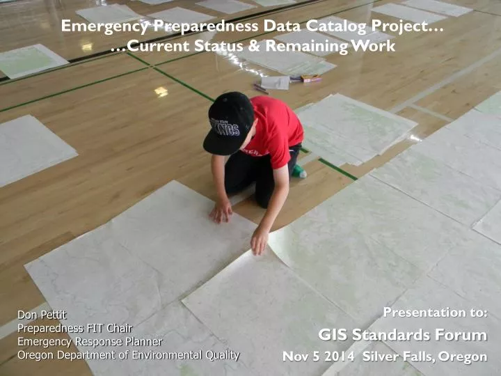
Emergency Preparedness Data Catalog Project… …Current Status & Remaining Work. Presentation to: GIS Standards Forum Nov 5 2014 Silver Falls, Oregon. Don Pettit Preparedness FIT Chair Emergency Response Planner Oregon Department of Environmental Quality. Oregon Framework Data Themes….

E N D
Emergency Preparedness Data Catalog Project… …Current Status & Remaining Work • Presentation to: • GIS Standards Forum • Nov 5 2014 Silver Falls, Oregon Don Pettit Preparedness FIT Chair Emergency Response Planner Oregon Department of Environmental Quality
Oregon Framework Data Themes… Coastal & Marine Preparedness
How is GIS used in Emergencies? GIS supports the information needs for: • Emergency Preparedness • Emergency Prevention/ Mitigation • Emergency Response & Contingency Planning • Emergency Response Operations • Emergency/Disaster Recovery
How is GIS used in Emergencies? GIS provides the tools to: • Document the current status of an incident (situational awareness) • Share a vision of the situation (common operational picture) • Forecast or plan for change in status during during an incident (model, trajectory, etc.) • Predict/document impacts on known resources • Develop plans and assist in executing response operations
Emergencies come in all shapes and sizes… …as do responses.
Emerging Risks… • New products being imported into and out of Oregon
What data do we need? • Are 150 data layers enough? • Are 500 data layers too much? • What kind of data do we need? Authoritative Data • How will we deliver the data?
What is Authoritative Data? • Rational Authority. Government agencies are by default the “authoritative” sources for data or services that they produce, or have a statutory responsibility for. • Expert Authority. Scientifically authoritative data is defined in the realm of the various professions under which the standards and methodology for data are created. The owner or authoritative source of any geospatial data is responsible for defining the business rules for the access and sharing of that information across the stakeholder community. From: DHS Geospatial CONOPS
What if we don’t have Authoritative Data? As you know, you go to an emergency with the data you have, not the data you might want or wish to have at a later time. ~Donald Rumsfeld • We can develop most, but not all, needed data ahead of an incident or an emergency. • It is much easier to gather authoritative data before an incident, than during an incident…allowing more time for analysis of data. • There will always be a need to develop data during and incident.
In Short…Emergency GIS must: Provide the best available data… …when it is needed… …where it is needed… …to who it is needed… …in an appropriate way.
Emergency Preparedness Framework Data Project… • Data Discovery • Data Evaluation • Data Creation • Data Standardization • Data Categorization • Metadata Creation • Development of Specialized Maps/Viewers • Providing Access to Data • +Private Drinking Water Well Pilot Project • IAA from DAS-GEO $48, 407 for 2-year project! • IAA with PSU-CSAR $35,647 for bulk of project • IAA with OSU-INR $12,760 for: Development of Data Catalog Assistance with Metadata Integration into Catalog Access via Oregon Explorer
Emergency Preparedness Framework Data Project… • Data Discovery • Data Evaluation • Data Creation • Data Standardization • Data Categorization • Metadata Creation • Integration into Catalog • Development of Specialized Maps/Viewers • Providing Access to Data • Private Drinking Water Well Pilot Project
Emergency Preparedness Framework Data Project… • Data Discovery • Data Evaluation • Data Creation • Data Standardization • Data Categorization • Metadata Creation • Integration into Catalog • Development of Specialized Maps/Viewers • Providing Access to Data • Private Drinking Water Well Pilot Project
Emergency Preparedness Framework Data Project… • Data Discovery • Data Evaluation • Data Creation • Data Standardization • Data Categorization • Metadata Creation • Integration into Catalog • Development of Specialized Maps/Viewers • Providing Access to Data • Private Drinking Water Well Pilot Project
Emergency Preparedness Framework Data Project… • Data Discovery • Data Evaluation • Data Creation • Data Standardization • Data Categorization • Metadata Creation • Integration into Catalog • Development of Specialized Maps/Viewers • Providing Access to Data • Private Drinking Water Well Pilot Project USED DATA…
Data Groups…based on response categories • Transportation/Infrastructure • People at Risk • Water Resources Protection • Potential Toxic Sources • Incident Notification Groups • Emergency Response Resources • Wildlife & Habitat • Natural Resources & Hazards • Public Health • Aerial Imagery & Maps • Mapping Base EPA Metadata Editor…
Emergency Preparedness Framework Data Project… • Data Discovery • Data Evaluation • Data Creation • Data Standardization • Data Categorization • Metadata Creation • Integration into Catalog • Development of Specialized Maps/Viewers • Providing Access to Data • Private Drinking Water Well Pilot Project
Emergency Preparedness Framework Data Project… • Data Discovery • Data Evaluation • Data Creation • Data Standardization • Data Categorization • Metadata Creation • Integration into Catalog • Development of Specialized Maps/Viewers • Providing Access to Data • Private Drinking Water Well Pilot Project
How to get to double eleven! • We need common data structure development to facilitate integration. • We need to standardize attributes, symbology, and labeling schemes for different types of products. • We need to integrate more live data (flood gages, incident locations) • We need to create map templates and viewers for common incident response types. • We need to get better at live mapping in the EOCs. • We need to continue to develop a path toward data stewardship. GIS in Action 2013
For more information…or to pitch in! Contact: Don Pettit - Oregon Dept. of Environmental Quality pettit.don@deq.state.or.us Join: Preparedness Framework Implementation Team http://listsmart.osl.state.or.us/mailman/listinfo/preparedness-fit
Distributed Emergency Data Stewardship… Data Stewards Emergency Preparedness FIT Data Catalog Data Data Users