Download
1 / 21
210 likes | 268 Views
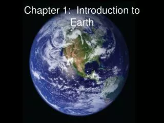
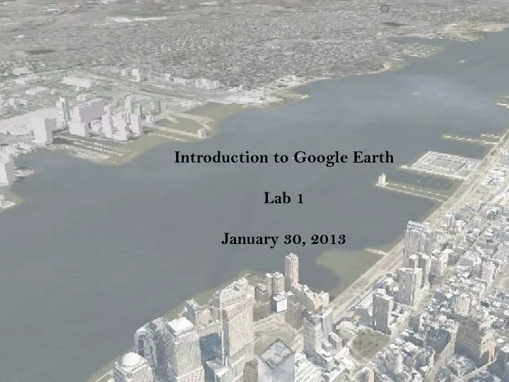
Introduction to Google Earth Lab 1 January 30, 2013.

E N D
Introduction to Google Earth Lab 1 January 30, 2013
Google Maps and Google Earth are a great advantage to me (MAB)as an urban physician trying to understand my patients in placeand context. After reading these GIS-related articles as theywere being submitted, I thought about how much I missed notknowing where my patients lived or what their homes were like,which I used to understand when I lived in a smaller community.Philadelphia is a large urban area and my patients come frominside and outside the city. I know much of West Philadelphia(near our offices) and some of Central and South Philadelphia,but our patients also come from many other locales. So I turnedto Google Maps, supplemented on occasion by Google Earth. Ican always find that street whose name I don’t know. Ican often see the house or apartment building and I can lookup and down the street. Are there broken windows or bars onthe street? Is there street lighting or sidewalks? Using GoogleEarth I can quickly determine whether there are trees or parksnearby. Sometimes nearby restaurants and drug stores are alsomarked and identified. The 96-year-old patient who drives a couple of blocks to getto the office? Try more than a few blocks, which scared me.I decided to check more on his ability to drive and alternateforms of transportation. The patient's location that lookedjust like a field and trees with no house visible? This ledto a conversation about how difficult running their small farmwas for them: they were being foreclosed and were out of work;there were tears and, eventually, a plan and some relief. Thewoman who can’t get up her front steps and has fallendown them? There are no front steps on any home on her street,which will lead to a conversation next time I see her. The communitygarden near a patient's home? Maybe she could garden also. Orthe man with the business with a vague name, who comes to theoffice poorly dressed but who apparently lives in a large housein a gated neighborhood? Maybe I don’t need to worry somuch about the fact that he and his family are uninsured. Thewoman living alone whose house was surrounded by razed or dilapidatedhomes and some small manufacturing buildings? Yes, she was lonelyand scared as all her neighbors kept moving away. Ah, GoogleMaps ... one more key to context. - Marjorie A. Bowman, MD (J Am Board Family Medicine 2010; 23(1); 4-5
Lozano-Fuentes S et al. Bulletin of the World Health Organization 2008; 86(9): 718-725.
Real-time reporting of soil bacteria data based at Imperial College, London. See Aanensen et al. 2009
NYS Department of Environmental Conservation – contaminated sites database
KML KML (originally: Keyhole Markup Language) is an XML language focused on web-based geographic visualization in two and three dimensions. Originally developed by Google for use in its Google Maps and Google Earth software, it became an Open Geospatial Consortium standard earlier this year. This means that anyone is free to develop software to read these files
References Aanensen DM et al. EpiCollect: Linking smartphones to web applications for epidemiology, ecology and community data collection. PLoS One 2009; 4:9. Clarke P et al. Using Google Earth to conduct a neighborhood audit: Reliability of a virtual audit instrument. Health & Place 2010; 16: 1224-1229. Janssen I, Rosu A. Measuring sidewalk distances with Google Earth. BMC Medical Research Methodology 2012; 12: 39. Lefer TB et al. Using Google Earth as an Innovative Tool for Community Mapping. Public Health Reports 2008; 123: 474-480. Lozano-Fuentes S et al. Use of Google Earth to Strengthen Public Health Capacity and Facilitate Management of Vector-Borne Diseases in Resource-Poor Environments. Bulletin of the World Health Organization 2008; 86(9): 718-725.