Download
1 / 18
180 likes | 304 Views
COSI- Corr Automatic Imperviousness Classification Study Cases. Sebastien Leprince Francois Ayoub Jiao Lin Jean-Philippe Avouac leprincs @ caltech.edu Office: 626-395-2912 Cell: 626-240-9041 California Institute of Technology. Patent U.S. 8,121,433 B2

E N D
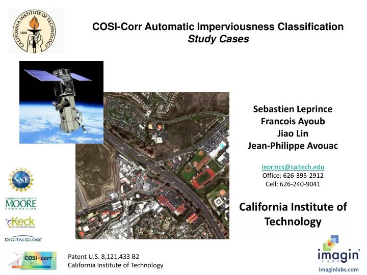
COSI-Corr Automatic Imperviousness Classification Study Cases SebastienLeprince Francois Ayoub Jiao Lin Jean-Philippe Avouac leprincs@caltech.edu Office: 626-395-2912 Cell: 626-240-9041 California Institute of Technology Patent U.S. 8,121,433 B2 California Institute of Technology imaginlabs.com
Case Study: Automatic classification of impervious surfaces Data: GeoEye image, 4-band multispectral, 2m GSD, above Indianapolis, with impervious surface classification benchmark (courtesy of MWH). Worldview 8-band multispectral images, 2m GSD (courtesy of DigitalGlobe): - Image of San Clemente, CA - Image of Sydney, Australia Goal: Testing automatic methods to extract the percentage of impervious surfaces using satellite images. Applications: Better management of storm water run-offs, tax identification.
Indianapolis Test Image - GeoEye GeoEye Image
Indianapolis Test Image Imperviousness Benchmark Provided Warmer color represents more % impervious
Indianapolis Test Image COSI-Corr automatic imperviousness analysis Black is 0% impervious, White is 100% impervious Some inconsistencies exist but land boundaries are well defined. In particular, bare soils are harder to classify. More robustness can be achieved using Worldview-2 8-band multispectral images
San Clemente CA, Test Image #1 – Worldview 2 COSI-Corr Imperviousness result
San Clemente CA, Test Image #2 – Worldview 2 COSI-Corr Imperviousness result
Sydney, Test Image #1 – Worldview 2 COSI-Corr Imperviousness result
Sydney, Test Image #2 – Worldview 2 COSI-Corr Imperviousness result
Sydney, Test Image #3 – Worldview 2 COSI-Corr Imperviousness result
Sydney, Test Image #4 – Worldview 2 COSI-Corr Imperviousness result
Conclusions • COSI-Corrcan provide automatic classification of impervious surfaces. It was found that classification accuracy is improved when using Worldview-2 8-band multispectral images instead of GeoEye 4-band images. • The most difficult parts to map are bare soils. Combining images at different seasons should alleviate most problems. More discussion is needed to decided how water bodies should be classified – should we differentiate between swimming-pools and natural water bodies? • We could introduce a “no data” class when the classification is not accurate, in particular in shadow areas. COSI-Corr can implement an automatic shadow detection if using Worldview-2 images. • More characteristics could be added if coupled with high resolution terrain model, which can also be extracted using COSI-Corr and Worldview stereo imagery (more competitive than LiDAR). • The results of this study are preliminary and can be improved. Please contact the authors for more information.