Download
1 / 24
360 likes | 633 Views
Water Management in Morocco. Or what can be covered in an 8 minute presentation . Overview. Introduction Methodology Future Work Challenges Data gaps Acknowledgements. Introduction. Hydrology and Climate in Morocco Water Management Institutions in Morocco

E N D
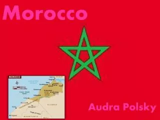
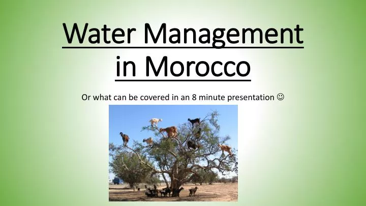
Water Management in Morocco Or what can be covered in an 8 minute presentation
Overview • Introduction • Methodology • Future Work • Challenges • Data gaps • Acknowledgements
Introduction • Hydrology and Climate in Morocco • Water Management Institutions in Morocco • Economic and Development Impact • Challenges to Providing Adequate Water Supply
Instance Consultative Conseil Supérieur de l’Eau et du Climat MEMEE ABH Instances de planification sectorielle D. Agriculture M. Santé M. Intérieur ONEE Secteur de l’eau potable Producteurs: ONEE Privé Opérateurs ou utilisateurs de l’eau ORMVA’s • Producteurs: • ONEE • Privé • Régies • Communes • Distributeurs: • ONEE • Privé • Régies • Communes ORGANISATION DU SECTEUR DE L’EAU AU MAROC 7
Challenges to Providing Adequate Water Supply • Growing Population • Increasing Variability in Precipitation • Shrinking Surface and Groundwater Reserves (overdraw and overextraction) • Water Quality vs. Access
Methodology • Primary Source • Set of Presentations on Water Availability in 2009 and Projections for 2010 in the BouRegreg/ Atlantique Basin (near Rabat) from ONEP contact • Data Extraction and Formatting via Microsoft Excel and Open Office • Secondary Sources • Purpose: Preliminary Dataset Building • Geoprocessing Functions
Data Extraction and Formatting • Table and Narrative information re-formatted into spreadsheets • Secondary sources used to expand table based on geospatial details • Embedded Locations • Examples: • SMBA gage dataset • 2010 Basin Atlantique Projections • GEMSTAT Water Quality Data
First Maps! • Mostly Descriptive of very general features • Increasing ability to plot water quality data in both space and time
Future Work • Continued Collaboration with ONEP and ONEE • Analyses to explore: • Specific Impact of Agriculture over time on water quality and soil erosion • Proxy Variables for Climate Change • Mapping to be completed: • Subnational agricultural indicators • Triangulation of dam information
Challenges • Actual metrics regarding water quality difficult to obtain • Accuracy of reporting • Ability to verify data from source
Data Gaps and Inconsistency • Level of detail across gages inconsistent by year and parameter • Some parameters missing • Bias can be assumed- investment often drives capacity in data collection • This makes causality difficult to establish
Sources: • ONEP (Dr. Mustupha Hajji) • USGS (EMODIS FEWS) http://pubs.usgs.gov/of/2010/1055/ • GemStat http://www.gemstat.org/ • DIVAGIS http://www.diva-gis.org/ • Baruch Geoportal http://www.diva-gis.org/ • GitHub https://github.com/nvkelso/natural-earth-vector/tree/master/10m_physical/ne_10m_bathymetry_all
Acknowledgements • Dr. David Maidment • Dr. Mustapha Hajji • Allison Minor • Jesse Libra