Download
1 / 3
50 likes | 55 Views
There is an increasing need for strategic global assessments of flood risks in current and future conditions. Natural hazards have caused severe consequences to the natural, modified and human systems in the past. These consequences seem to increase with time due to both the higher intensity of the natural phenomena and the higher value of elements at risk. Among the water related hazards, flood hazards have the most destructive impacts. The paper presents study of flood for the assessment of flood hazard and flood risk in the area near the high terrain having lower elevation. Pratik Prajapati | Prof. Dr. Neha Bansal "Banaskantha Flood 2017: Flood Risk Assessment" Published in International Journal of Trend in Scientific Research and Development (ijtsrd), ISSN: 2456-6470, Volume-2 | Issue-1 , December 2017, URL: https://www.ijtsrd.com/papers/ijtsrd7078.pdf Paper URL: http://www.ijtsrd.com/management/risk-management/7078/banaskantha-flood-2017-flood-risk-assessment/pratik-prajapati<br>

E N D
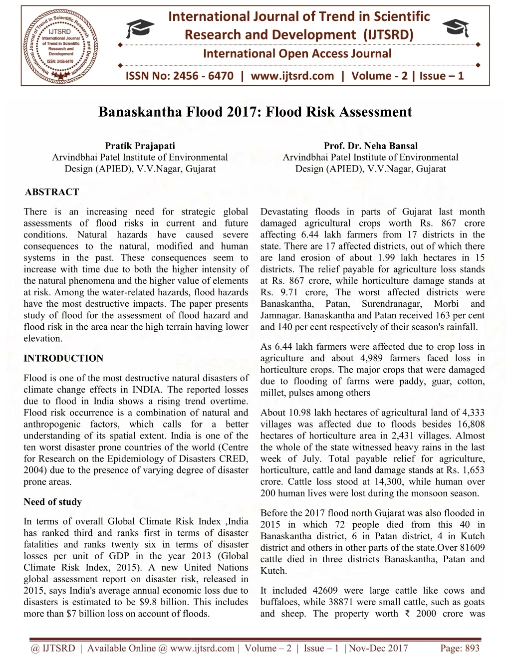
International Research Research and Development (IJTSRD) International Open Access Journal International Open Access Journal International Journal of Trend in Scientific Scientific (IJTSRD) ISSN No: 2456 - 6470 | www.ijtsrd.com | Volume ISSN No: 2456 | www.ijtsrd.com | Volume - 2 | Issue – 1 Banaskantha Flood 2017: Flood Risk Assessment Banaskantha Flood 2017: Flood Risk Assessment Banaskantha Flood 2017: Flood Risk Assessment Pratik Prajapati Prof. Dr. Neha eha Bansal Arvindbhai Patel Institute of Environmental Design (APIED), V.V.Nagar, Gujarat ABSTRACT Arvindbhai Patel Institute of Environmental Arvindbhai Patel Institute of Environmental Arvindbhai Patel Institute of Environmental Design (APIED), V.V.Nagar, V.V.Nagar, Gujarat Gujarat There is an increasing need for strategic global assessments of flood risks in current and future conditions. Natural hazards have caused severe consequences to the natural, modified and human systems in the past. These consequences seem to increase with time due to both the higher intensity of the natural phenomena and the higher value of elements at risk. Among the water-related hazards, flood hazards have the most destructive impacts. The paper presents study of flood for the assessment of flood hazard and flood risk in the area near the high terrain having lower elevation. There is an increasing need for strategic global assessments of flood risks in current and future azards have caused severe consequences to the natural, modified and human systems in the past. These consequences seem to increase with time due to both the higher intensity of the natural phenomena and the higher value of elements related hazards, flood hazards have the most destructive impacts. The paper presents study of flood for the assessment of flood hazard and flood risk in the area near the high terrain having lower Devastating floods in parts of Gujarat last month al crops worth Rs. 867 crore affecting 6.44 lakh farmers from 17 districts in the state. There are 17 affected districts, out of which there are land erosion of about 1.99 lakh hectares in 15 districts. The relief payable for agriculture loss stands 867 crore, while horticulture damage stands at Rs. 9.71 crore, The worst affected districts were Banaskantha, Patan, Surendranagar, Jamnagar. Banaskantha and Patan received 163 per cent Devastating floods in parts of Gujarat last month damaged agricultural crops worth Rs. 867 crore affecting 6.44 lakh farmers from 17 districts in the state. There are 17 affected districts, out of which there are land erosion of about 1.99 lakh hectares in 15 districts. The relief payable for agriculture loss stands at Rs. 867 crore, while horticulture damage stands at Rs. 9.71 crore, The worst affected districts were Banaskantha, Patan, Surendranagar, Jamnagar. Banaskantha and Patan received 163 per cent and 140 per cent respectively of their season's rainfall. and 140 per cent respectively of their season's rainfall. Morbi and Morbi and As 6.44 lakh farmers were affected due to crop loss in agriculture and about 4,989 farmers faced loss in horticulture crops. The major crops that were damaged due to flooding of farms were paddy, guar, cotton, As 6.44 lakh farmers were affected due to crop loss in agriculture and about 4,989 farmers faced loss in horticulture crops. The major crops that were damaged due to flooding of farms were paddy, guar, cotton, millet, pulses among others INTRODUCTION Flood is one of the most destructive natural disasters of climate change effects in INDIA. The reported losses due to flood in India shows a rising trend overtime. Flood risk occurrence is a combination of natural and anthropogenic factors, which calls for a better understanding of its spatial extent. India is one of the ten worst disaster prone countries of the world (Centre for Research on the Epidemiology of Disasters CRED, 2004) due to the presence of varying degree of disaster prone areas. tive natural disasters of climate change effects in INDIA. The reported losses due to flood in India shows a rising trend overtime. Flood risk occurrence is a combination of natural and anthropogenic factors, which calls for a better patial extent. India is one of the ten worst disaster prone countries of the world (Centre for Research on the Epidemiology of Disasters CRED, 2004) due to the presence of varying degree of disaster About 10.98 lakh hectares of agricultural land of 4,333 villages was affected due to floods besides 16,808 hectares of horticulture area in 2,431 villages. Almost the whole of the state witnessed heavy rains in the last week of July. Total payable relief for agriculture, horticulture, cattle and land damage stands at Rs. 1,653 crore. Cattle loss stood at 14,300, while human over About 10.98 lakh hectares of agricultural land of 4,333 villages was affected due to floods besides 16,808 hectares of horticulture area in 2,431 villages. Almost the whole of the state witnessed heavy rains in the last week of July. Total payable relief f horticulture, cattle and land damage stands at Rs. 1,653 crore. Cattle loss stood at 14,300, while human over 200 human lives were lost during the monsoon season. 200 human lives were lost during the monsoon season. Need of study Before the 2017 flood north Gujarat was also flooded in ple died from this 40 in Banaskantha district, 6 in Patan district, 4 in Kutch district and others in other parts of the state.Over 81609 cattle died in three districts Banaskantha, Patan and Before the 2017 flood north Gujarat was also flooded in 2015 in which 72 people died from this 40 in Banaskantha district, 6 in Patan district, 4 in Kutch district and others in other parts of the state.Over 81609 cattle died in three districts Banaskantha, Patan and Kutch. In terms of overall Global Climate Risk Index ,India has ranked third and ranks first in terms of disaster fatalities and ranks twenty six in terms of disaster losses per unit of GDP in the year 2013 (Global Climate Risk Index, 2015). A new United Nations global assessment report on disaster risk, released in 2015, says India's average annual economic loss due to disasters is estimated to be $9.8 billion. This includes more than $7 billion loss on account of floods. more than $7 billion loss on account of floods. limate Risk Index ,India has ranked third and ranks first in terms of disaster fatalities and ranks twenty six in terms of disaster losses per unit of GDP in the year 2013 (Global Climate Risk Index, 2015). A new United Nations disaster risk, released in 2015, says India's average annual economic loss due to disasters is estimated to be $9.8 billion. This includes It included 42609 were large cattle like cows and buffaloes, while 38871 were small cattle, such as goats and sheep. The property worth and sheep. The property worth ₹ 2000 crore was It included 42609 were large cattle like cows and oes, while 38871 were small cattle, such as goats @ IJTSRD | Available Online @ www.ijtsrd.com @ IJTSRD | Available Online @ www.ijtsrd.com | Volume – 2 | Issue – 1 | Nov-Dec 2017 Dec 2017 Page: 893
completely damaged or washed away as per government estimate. The crops in about 2 lakh hectares failed. International Journal of Trend in Scientific Research and Development (IJTSRD) ISSN: 2456-6470 district in East, Kutch district in West and Patan district and Mehsana district in the South. The administrative headquarters of the district is at Palanpur which is also its largest city. The district is located in the Northeast of Gujarat and is presumably named after the West Banas River which runs through the valley between Mount Abu and Aravalli Range, flowing to the plains of Gujarat in this region and towards the Rann of Kutch. Study Area Banaskantha is one among the thirty-three districts of the Gujarat state of India. Banaskantha shares its borders with Rajasthan state in the North, Sabarkantha Fig 1: location on the study area Reason of heavy flood at Banaskantha Fig 2: Contour map of north Gujarat (2) @ IJTSRD | Available Online @ www.ijtsrd.com | Volume – 2 | Issue – 1 | Nov-Dec 2017 Page: 894
From the contour map it can easily understand that the area which was flooded twice in last 10 years is laying on the lowest elevation at 108m. Due to this reason it receives large amount of water when there will heavy rain at mount abu , khedbrahma and danta region and resulta in sudden flood. International Journal of Trend in Scientific Research and Development (IJTSRD) ISSN: 2456-6470 CONCLUSION The problem of sudden flooding due to heavy rain fall is very harmful for hilly region. There is very less time to response to the flood so to avoid this type of situation in future again at banaskantha, the flood risk assessment plays important role. Scope of study REFRENCES By this study I came to know that there is no proper natural drain to runoff the rain water which results in flood can be avoided if proper canal will constructed along the low level of contour line at 108m then flooding. 1.Hydrol. 2013.www.hydrol-earth-syst- sci.net/17/1871/2013/doi:10.5194/hess-17-1871- 2013 2.http://contourmapcreator.urgr8.ch/ Earth Syst. Sci., 17, 1871–1892, @ IJTSRD | Available Online @ www.ijtsrd.com | Volume – 2 | Issue – 1 | Nov-Dec 2017 Page: 895