Download
1 / 17
170 likes | 321 Views
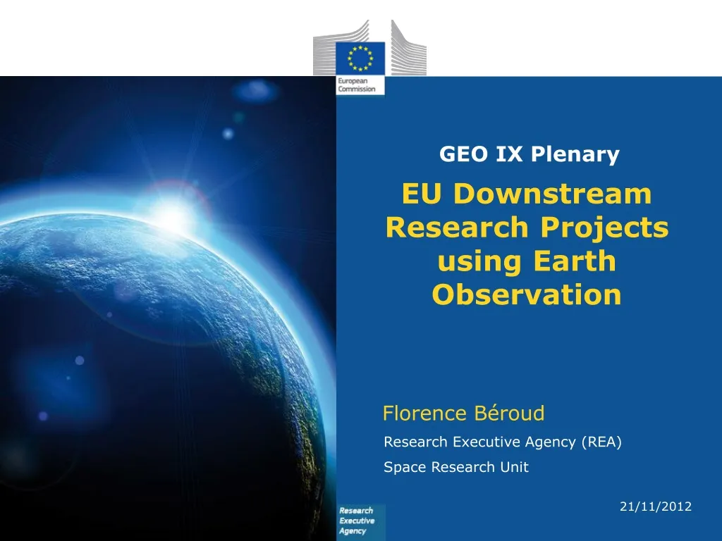
EU Downstream Research Projects using Earth Observation. GEO IX Plenary. Florence Béroud. Research Executive Agency (REA) Space Research Unit. 21/11/2012. FP7 GMES. Downstream Research Projects.

E N D
EU Downstream Research Projectsusing Earth Observation GEO IX Plenary Florence Béroud Research Executive Agency (REA) Space Research Unit 21/11/2012
FP7 GMES Downstream Research Projects Develop Products and Services for the Monitoring of the Environment using GMES (Global Monitoring of the Environment and Security) components Funded through the Space Research Theme of FP7: EU to stimulate and support the implementation of value added service Tailored for specific applications of 6 service domains: Atmosphere, Land, Marine, Emergency, Climate Change and Security
Downstream Research Projects Positioned between the multi-purpose core services and a specific group of user clients Making an extended use of adequate products made available by the core services. Use previous research, collaborate with other research projects. Goal of reaching self-sustainability or Expected to contribute to the integration of future lines into (pre)operational service chains of the GMES services.
GMES Functional Infrastructure Space Infrastructure Operators In Situ Infrastructure Operators INFRASTRUCTURES High Capacity End Users Users Climate Change Security Atmosphere SERVICES Emergency Marine Land CORESERVICES Added Value Chain DOWNSTREAM SERVICES
Common characteristics Asimuth Use of EO data and information: - EO Remote sensing and in situ; historical, archives, recent, on-order, rush mode - Use of Core services products - Use of existing local information Expected impact to establish innovative services by improving current monitoring techniques: new tools, new algorithms, new processes, new scientific methodologies, risk indicators, Standardised & validated products Sustainability required: continuity of service as a priority, close link between users and services with demonstration of services & integration into current users practices + training for user uptake PanGeo MS.MONINA
Benefits Tailored for different scales: local, national, regional needs Link to EU legislation: reporting obligations, preparedness e.g. habitat directive, bird directive Flood directive, water … Building on INSPIRE directive for interoperability of Member States data information Supporting EEA's efforts to monitor the environment Encouraged to support and link to international initiatives supported by the EU: GEO, UNFCCC's REDD+, ..
FP7 GMES projects overview 79 GMES projects from 2007 to 2012 FP7 space calls, of which 57 Downstream projects. • Total D/S • LandEuro 53 m Euro 23 m • Marine Euro 90 m Euro 57 m • Atmosphere Euro 44 m Euro 8 m • EmergencyEuro 49 m Euro 16 m • Security Euro 34 m Euro 10 m • Climate ChangeEuro 19,5 m Euro 16 m • Specific support actions Euro 5,5 m • Tot EU contribution: Euro 295 m Euro 130 m 2013 Call is now closed, expecting ~19 more projects for Euro 60 m, mainly D/S.
GMES FP7 Land projects Malaria vector control risk management in Africa Information and forecasting for water management GLOWASIS: Global Water Scarcity Information Service Water Allocation in the International IncomatiBasin Hi-resfreshwaterproducts (eg. chlorophyll, turbidity) Operational monitoring of snow and land ice Forest damage and functional parameters assessment Tools for water resources governance in water-scarce environments Forest Resources Assessment and Monitoring in Russia • Start 2013 : • IMAGINES, GLASS, LOTUS, SenSyF Pre-operational ecological modelling system for multi-annual monitoring of NATURA 2000 sites Monitoring winter-crops in Russia • Multi-scale EO-based pre-operational monitoring service of NATURA 2000 habitats Information Service on Agricultural Change (crop yield, damage assessment)
GMES FP7 Marine projects High quality operational services for biogeochemical and ecological parameters Water quality services in coastal waters MyWave Ocean surface waves modeling for offshore and coastal operations Marine biogeochemistry services for water quality users • Operational service for coastal oceanographic predictions; waves, currents, etc. OPERR From a river discharge model to coastal concentrations monitoring and prediction, and flood warning European network in advanced data assimilation for ocean modelling E-AIMS (start 2013) Design and test of new Euro-Argo floats Oil Pollution Monitoring and Source Identification • Information service on high biomass blooms in Europe’s coastal waters • Sea ice downstream services for climate research, marine safety and environmental monitoring Europe and Africa coastal and marine observations SP/users network • Forecast of harmful algal blooms (HAB) along Europe’s Atlantic coast Monitoring Arctic Land and Sea Ice cooperation with Russia
GMES FP7 Atmosphere projects Improve the quality and validation of the products delivered by the GMES Atmospheric Service with ground based remote sensing data. Air quality services on regional and local scale (start 2013) Improved sensors, Network and Interoperability of GHG concentration data Energy services for local public agencies (start 2013) Harmonisation and interoperability of IAGOS GHG and aerosol data from Aircraft with GMES. GMES-PURE (start 2013) Requirements for Marine and Atmosphere users
GMES FP7 Emergency projects Geohazards information service aimed at city local authorities Detection, mapping, monitoring, and forecasting of landslides and land subsidence Indicators of environmental and economic impact of subsidence in coastal lowland areas LAMPRE (start 2013) Landslide modelling and tools for vulnerability assessment and recovery management • IncREO (start 2013) • risk and vulnerability mapping products targeted at vulnerable zones with climate change trends including multi-hazards Monitoring system to assist in Volcano Crisis Management • PREFER (start 2013) • Prevention and recovery of forest fires in the Mediterranean area • SENSUM (start 2013) • continuous vulnerability assessment and analysis tools applied to Seismic and landslide hazards in Central Asia Integration of position-tagged field pictures and data with EO satellite emergency products SEMEP Search of a precursor link between ionospheric electromagnetic phenomena and seismic activity EU/Russia cooperation on earthquakes precursors for a global Earthquake Observation System (EQuOS) Enable African states to use satellite Earth Observation for the management of natural and man-made humanitarian emergencies
GMES FP7 Climate Change projects Providing climate change time series and monitoring services for Europe Preoperational EO-based services supporting African Congo Basin countries in monitoring deforestation and forest degradation for REDD Monitoring and assessing of regional climate change in high latitudes and the Arctic Remote sensing services to support REDD and sustainable forest management in tropical region 30-year re-analysis of CARBON fluxes and pools over Europe and the Globe CORE-CLIMAX (start 2013) "Climate Record Creation and Preservation" and "Applications” in reanalysis Fast Logging Assessment & Monitoring service in the tropics CHARMe(start 2013) Commentary meta-data Repository for Climate Change users Forest degradation monitoring in Gabon and the Republic of Congo supporting effort to implement the REDD+ mechanism.
Conclusions • - Contact the projects: if your interest lies in one of the domains covered there is probably a project with which you would be interested to cooperate. • - Presentation by Mr Schulte-Braucks on GMES on Thursday 22 November @13.20 pm will provide valuable info on the GMES programme and its contribution to the GEOSS. • - Projects are developing services in the spirit of GEO’s vision; many are already contributing to the GEOSS; their focus and their SME rooting place them well to further support GEO post 2015.
GMES FP7 Projects’ additional info • http://ec.europa.eu/research/rea/index.cfm?pg=frp_spc • Link to all calls, with links to CORDIS for the first 4 Calls • http://ec.europa.eu/rea/funded_projects/space/index_en.htm • Link to DG ENTR list with the summary sheet (FP7 Projects funded under 1st, 2nd and 3rd call) • http://ec.europa.eu/enterprise/policies/space/research/fp7-projects/index_en.htm