Download
1 / 21
210 likes | 359 Views
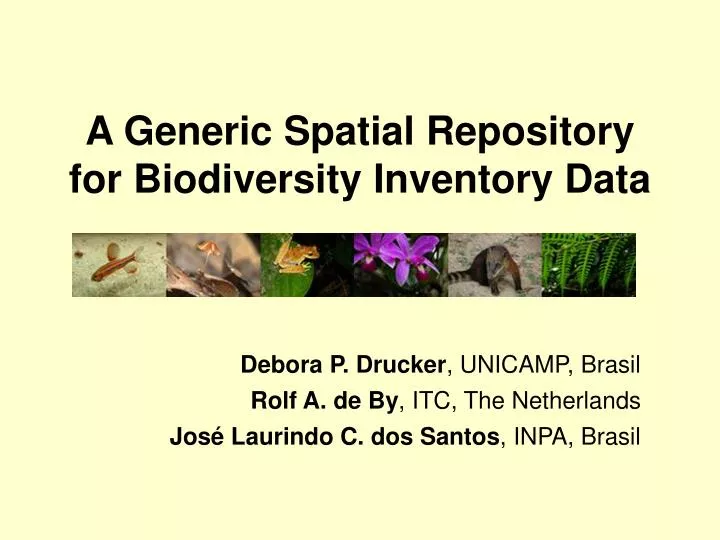
A Generic Spatial Repository for Biodiversity Inventory Data. Debora P. Drucker , UNICAMP, Brasil Rolf A. de By , ITC, The Netherlands José Laurindo C. dos Santos , INPA, Brasil. Data Availability.

E N D
A Generic Spatial Repository for Biodiversity Inventory Data Debora P. Drucker, UNICAMP, Brasil Rolf A. de By, ITC, The Netherlands José Laurindo C. dos Santos, INPA, Brasil
Data Availability • Making field survey data available to the many different stakeholders in biodiversity is one of the aims of the PPBio Program wildlife managers, foresters, local councils, local communities, fisheries biologists pharmaceutical laboratories, scientists conservationists, politicians catchment management authorities
Biological Inventory Database - BID Designed to allow the storage and future retrieval of field data obtained in PPBio standardized surveys throughout Amazonia
BID Repository Characteristics • Generic - Accommodates data of any kind of inventory, even future ones for which the survey design still has to be established • Spatially enabled - inventory observations of whatever kind are geographically referenced, at documented spatial precision levels • Accommodates the support of end-users, such as scientists that conduct inventories, as well as future users of the data
A Generic Repository • It is a priori unknown what kind of data will be accumulated • Statically defined tables do not satisfy the data management needs of this application • The data model for our application only identifies truly generic notions such as Survey, Survey Variable, Observation, Observer, Plot, Researcher
Surveys • A survey comprises methodical fieldwork in a area, usually at multiple locations in the area, over a known period of time • Standardized observations are made at each of the locations • Locations can be positions along an indicated trail, along the course of a creek or river, or fixed points on a grid system
Collect material for a single survey location May generate additional observations in situ: time, humidity, substrate Generates a number of observations for each survey location Visual encounter surveys or auditory sampling Collecting and non-collecting surveys
Some surveys, by their design, list the exact locations at which observations will have to be made Tree surveys at defined plots Other surveys identify a transect along which observations are made Each observation registered individually with further positioning information (distance along the trail, distance from the trail) Locational and transect surveys
People Researcher: survey responsible Personalized survey: observer, responsible for each one of the observations or collecting events Subsurvey: Additional observations that cannot be directly connected with the main observations In avian studies, start time and end time of a transect visit important
Observations and survey variables Columns: survey variables Observation Rows: data collected at a single survey location (at a single time)
P = Primary Key N = number of attributes = 6 N – P => 6 – 2 = 4 new tables Survey number 15
Reserve: study site, a polygon a set of polygon features Trail: laid out path, a linestring Igarape: creek, a linestring Terrestrial, aquatic and riparian plots: points Along-trail-based locality and off-trail-based locality: points Survey localities
Support of End-Users • modular set-up that accommodates easily the support of end-users, such as scientists that conduct inventories, as well as future users of the data • allows extensions of the system in the future with functions currently unknown
Challenges • Integration with Biological Collections Information Systems • Complete the function services, under strict genericity, consistency and robustness requirements. • Demonstrate the system’s viability in practice • Develop functional support for spatio-analytic work. • Showcase the phenomenal potential for cross-correlation between surveys, and develop an application for end-users to do such scientific enquiries
Rolf A. de By, Debora P. Drucker & Laurindo C. Santos “Base de dados para inventários de biodiversidade” in: Oliveira, M. L., Baccaro, F.B., Braga-Neto, R., Magnusson, W. E. (Orgs.). In: Reserva Ducke: a biodiversidade amazônica através de uma grade. Manaus. Áttema Design Editorial, 2008. p. 145-160. http://ppbio.inpa.gov.br/Port/public/LivroRFAD_ebook.pdf • deboradrucker@gmail.com • deby@itc.nl • lcampos@inpa.gov.br
Thank you Acknowledgements