Download
1 / 8
80 likes | 85 Views
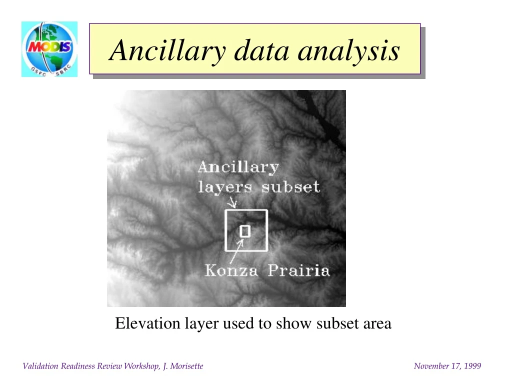
Ancillary data analysis. Elevation layer used to show subset area. Grassland maps. White pixels correspond to “Grassland”. Umd: Wooded Grassland. Biome: Grass & cereal crops. EDC: Grassland. Umd: Grassland. Map classes. Biome Classification: Unclassified: 0 points (0.0000%)

E N D
Ancillary data analysis Elevation layer used to show subset area
Grassland maps White pixels correspond to “Grassland” Umd: Wooded Grassland Biome: Grass & cereal crops EDC: Grassland Umd: Grassland
Map classes Biome Classification: Unclassified: 0 points (0.0000%) grassland: 1,046 points (41.8400%) shrubs: 0 points (0.0000%) crops broad: 23 points (0.9200%) savannah: 1,323 points (52.9200%) broad forest: 26 points (1.0400%) needle forest: 11 points (0.4400%) non veg: 42 points (1.6800%) water: 29 points (1.1600%) EDC Classification: Unclassified: 0 points (0.0000%) evergreen needle: 23 points (0.9200%) evergreen broad: 0 points (0.0000%) deciduous needle: 0 points (0.0000%) deciduous broad: 0 points (0.0000%) mixed forest: 39 points (1.5600%) closed shrubland: 0 points (0.0000%) open shrubland: 0 points (0.0000%) woody savannah: 70 points (2.8000%) savannah: 0 points (0.0000%) grassland: 1,407 points (56.2800%) wetland: 0 points (0.0000%) cropland: 591 points (23.6400%) urban: 42 points (1.6800%) modaic: 301 points (12.0400%) snow ice: 0 points (0.0000%) barren: 0 points (0.0000%) water: 27 points (1.0800%) UMd Classification: water: 22 points (0.8800%) evergreen needle: 0 points (0.0000%) evergreen broad: 0 points (0.0000%) deciduous needle: 0 points (0.0000%) deciduous broad: 0 points (0.0000%) mixed forest: 0 points (0.0000%) woodland: 59 points (2.3600%) wooded grassland: 1,270 points (50.8000%) closed shrubland: 0 points (0.0000%) open shrubland: 0 points (0.0000%) grassland: 273 points (10.9200%) cropland: 834 points (33.3600%) bare ground: 0 points (0.0000%) Urban: 42 points (1.6800%)
Variogram map Colors are normalized within each color across the image