Download
1 / 11
110 likes | 114 Views
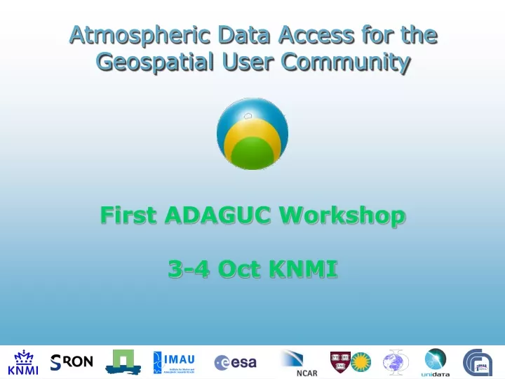
Atmospheric Data Access for the Geospatial User Community. First ADAGUC Workshop 3-4 Oct KNMI. Tuesday 3 Oct - Buys Ballot Room. 09.00-09.10 Welcome by director of KNMI dr.ir. Frits Brouwer (KNMI) 09.10-09.25 Agenda & Logistics ir. John van de Vegte (KNMI)

E N D
Atmospheric Data Access for the Geospatial User Community First ADAGUC Workshop 3-4 Oct KNMI
Tuesday 3 Oct - Buys Ballot Room 09.00-09.10 Welcome by director of KNMI dr.ir. Frits Brouwer (KNMI) 09.10-09.25 Agenda & Logisticsir. John van de Vegte (KNMI) 09.25-09.35 Introduction by RGI Space for Geo-Information prof.dr.ir. Arnold Bregt(WUR/RGI) 09.35-09.45 ADAGUC Introduction dr. Frans van der Wel (KNMI) 09.45-10.00 Introduction of project members 10.00-10.30 Scope of Meteo/GIS in the international context prof.dr. Olga Wilhelmi (NCAR) 10.30-10.45 Coffee break 10.45-11.15 Sciamachy features and usage with respect to end-users dr. Christian Frankenberg (Uni Heidelberg) 11.15-11.40 How KNMI meteorologists work with meteorological information systems ir. Jos Diepeveen (KNMI) 11.40-12.00 Data portal project in the “Climate changes spatial planning” programme dr. Fred Bosveld / dr. Henk Klein Baltink (KNMI) 12.00-13.30 Lunch 13.30-14.10 International standards and data interoperability - part I prof.dr. Ben Domenico (UNIDATA) 14.10-14.50 International standards and data interoperability - part II prof.dr. Stefano Nativi (IMAA) 14.50-15.05 Coffee break 15.05-15.45 Dedicated GIS software versus Google Earth drs. Bert Vermeij (ESRI Netherlands) 15.45-16.25 Web services drs. Wim de Haas (RWS/AGI) 16.25-17.05 Application Benefits for the Geo Spatial User community Prof.dr.Michael Schaepman (WUR) 17.05-18.00 Drinks on the house USAGE SOLUTIONS
Wednesday 4 Oct - Buys Ballot Room 09.00-09.10 Agenda 09.10-09.40 Summaries of statements 09.40-10.00 Assignment of splinter sessions (people/goals/locations) 10.00-12.00 3 parallel splinter sessions: - Converter tools - Atmospheric datasets - Web services / Portals 12.00-13.30 Lunch 13.30-14.30 Continuation of splinters with focus on presentation 14.30-15.30 Presentations of splinters (10 min each) 15.30-15.45 Summary of results 15.45-16.00 Future ADAGUC 16.00 End of the first ADAGUC workshop SPLINTERS RESULTS
Agenda & Logistics 13 speakers: Tight schedule But there will be coffee, lunch, & borrel Groenzaal Bleekerzaal Registration Toilets Buys-Ballot zaal Coffee / Lunch / Borrel in the hallway
Summary of statements Usage - - - - - Solutions - - - -
Splinter sessions • ADAGUC needs end-user requirements for the following project phase. • By assignments and group discussion come to community results. • Spinters: • Converter tools • Atmospheric datasets • Web services / Portals • Each splinter gives a 10 min presentation of its results.
Splinter Converter tools • What are the desired parameters (Sciamachy)? • What are (is) the desired output format ? • Converter usage: API-library / output ? • Supported platforms and languages ? • Input parameters / resolution / timescale • Which tools are used • Data (file) formats (netcdf, hdf, kml, shape…) • Metadata • Standards • Service Oriented Architecture • Security • Scalability • Integration with commercial OGC/GIS products • Open source license • Hooking up with a Open Source initiative to keep ADAGUC alive after project • Integration with more general Portals Groenzaal Session leader: Richard van Hees
Splinter Atmospheric datasets • What are current problems using atmospheric data ? • How do you want to use it ? • Which datasets should be ‘GIS-ed’ next ? • Input parameters / resolution / timescale • Which tools are used • Data (file) formats (netcdf, hdf, kml, shape…) • Metadata • Standards • Service Oriented Architecture • Security • Scalability • Integration with commercial OGC/GIS products • Open source license • Hooking up with a Open Source initiative to keep ADAGUC alive after project • Integration with more general Portals Bleekerzaal Session leader: Wim Som de Cerff
Splinter Web Services / Portals • Which technology to be used ? • What existing S/W can be (re)-used ? • Project / program cooperation ? • Input parameters / resolution / timescale • Which tools are used • Data (file) formats (netcdf, hdf, kml, shape…) • Metadata • Standards • Service Oriented Architecture • Security • Scalability • Integration with commercial OGC/GIS products • Open source license • Hooking up with a Open Source initiative to keep ADAGUC alive after project • Integration with more general Portals Buys Ballot Session leader: Frans van der Wel
Future ADAGUC ! Logistics