Download

1 / 6
70 likes | 193 Views
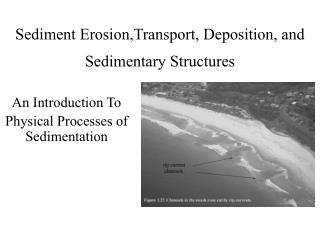
日本の国土と土砂災害の実態 Land of Japan and Sediment-related disaster. 日本の国土の特徴 Feature of the Land of Japan. 大陸プレートと海洋プレートの境界部に位置する島弧 Island arc located on the boundary of continental plate and ocean plate 地形が急峻な山地が大半 Steep mountainous area 地質が複雑 Complex Geology 火山が多い Many volcanoes

E N D
日本の国土と土砂災害の実態Land of Japan and Sediment-related disaster
日本の国土の特徴Feature of the Land of Japan • 大陸プレートと海洋プレートの境界部に位置する島弧 Island arc located on the boundary of continental plate and ocean plate • 地形が急峻な山地が大半 Steep mountainous area • 地質が複雑 Complex Geology • 火山が多い Many volcanoes • 地震が多い Many earthquakes • 降水量が多い(梅雨、台風、 降雪等) Much rainfall (supplied by rain front (Baiu front), typhoon and snow) • 土砂災害の発生が多い Many sediment-disasters
日本での土砂災害発生件数Number of sediment-disaster in Japan Number of disaster Slope failure Landslide Debris flow year 1996 1997 1998 1999 2000 (1996~2000)平均 2001 (出典:国土交通省砂防部ホームページ) (From the homepage of the Ministry of Land, Infrastructure and Transport)
日本の土砂災害危険箇所数Number of sediment-disaster hazard zone in Japan • 土石流危険渓流数 Number of debris flow hazard streams:79,318(in 1993) • 地滑り危険箇所数 Number of landslide hazard zones:11,288(in 1998) • 急傾斜地崩壊危険箇所数 Number of slope failure hazardous places:86,651(in 1997) • 全危険箇所についてハード対策(構造物による対策)を実施するのは困難である It is difficult to implement ‘hard’ mitigation measures (structural mitigation) in all hazard zones. • 観測と警戒避難(ソフト対策)が重要 Monitoring, warning and evacuation (‘soft’ measures) is important.
観測の目的 Purpose of monitoring • 発生予測(誘因、前兆現象から)Prediction of occurrence (from the cause and warning signs) • 発生の検知 Detection of occurrence • 土砂移動現象の解明(誘因→発生→流下→堆積の過程)To make clear the soil movement phenomena (cause → occurrence → flow → sedimentation) • 危険範囲の予測、対策計画Prediction of hazard area and mitigation planning • 予測・警戒避難の精度向上Improvement of accuracy of prediction, warning and evacuation • 警戒避難 Warning and evacuation