Download
1 / 15
150 likes | 248 Views
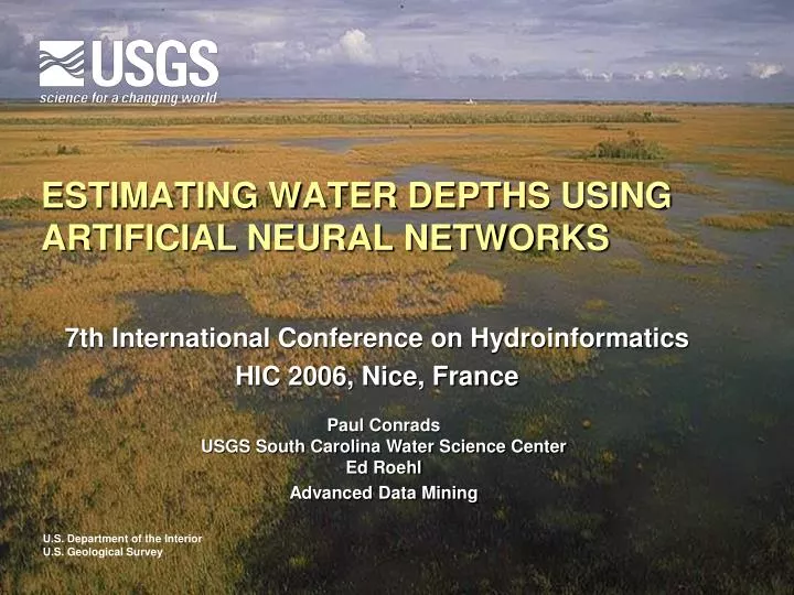
ESTIMATING WATER DEPTHS USING ARTIFICIAL NEURAL NETWORKS. 7th International Conference on Hydroinformatics HIC 2006, Nice, France. Paul Conrads USGS South Carolina Water Science Center Ed Roehl Advanced Data Mining. Outline. Description of Study area Problem Model Approach Model Results

E N D
ESTIMATING WATER DEPTHS USING ARTIFICIAL NEURAL NETWORKS 7th International Conference on Hydroinformatics HIC 2006, Nice, France Paul Conrads USGS South Carolina Water Science Center Ed Roehl Advanced Data Mining
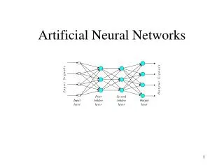
Outline • Description of Study area • Problem • Model Approach • Model Results • Summary and Discussion
Study Area Everglades - River of Grass • Pre-1940s: Wide, shallow, sheet flow • Post-1940s: System compartmentalized • Large Conservations Areas of shallow (< 1 m) and empounded water • Restoration of the Everglades – return the large ecosystem back of a “river of grass”
~1940’s ~2010? Quick History of the Everglades
Study Area (continued) • Large wetland system • Depth < 1 m • Hydrology critical for defining habitat • Difficult gauging environment • Access by airboat or helicopter Water Conservation Area 3a
Problem : How to Estimate Water Depths at Ungauged Sites • Using a subset of Everglades domain • Available data (static and dynamic) • Vegetation data • Water-level and water-depth data at 17 sites
Data Set • Water-level and water-depth data from WCA 3a • EDEN grid and vegetation attributes • % prairie • % sawgrass • % slough • % upland • UTM North • UTM South
Approach • Two stage ANN model • First stage – estimate mean water-depths using static model • Second stage – estimate water-depths variability using dynamic variables
Static Model Results • Each “step” represents a different site • Model able to generalize water level difference but not the variability
Dynamic Model • 5 “index” stations (red dots) • Combination of static and dynamic data • 5 validation stations (green dots)
More Model Results Static variables are most sensitive in the model Model statistics for validation sites
Summary • Estimation of water depth at ungaged sites • ANNs able to accurately predict water depths at ungaged sites • Use of static and dynamic variable produce a multi-variate “kreiging” of water depths • Methodology will be used to hindcast “new” network stations
Questions Paul Conrads USGS-South Carolina Water Science Center pconrads@usgs.gov Ed Roehl Advanced Data Mining, LLP ed@advdatamining.com