Download
1 / 18
180 likes | 305 Views
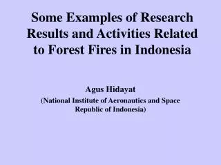
Some Examples of Research Results and Activities Related to Forest Fires in Indonesia. Agus Hidayat (National Institute of Aeronautics and Space Republic of Indonesia). BACKGROUND. In Indonesia forest fire seems to be a regular phenomenon that could happen every year

E N D
Some Examples of Research Results and Activities Related to Forest Fires in Indonesia Agus Hidayat (National Institute of Aeronautics and Space Republic of Indonesia)
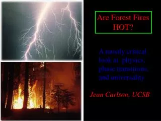
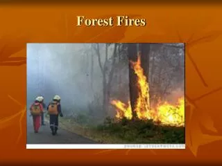
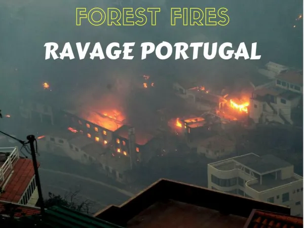
BACKGROUND • In Indonesia forest fire seems to be a regular phenomenon that could happen every year • The 1997 fire episode was the most serious forest fires in the last 15 years. • Official government figures put the 1997 forest fires in Indonesia at 263,991.21 hectares and land fires at 119,878 hectares. • Comparison : In 1982-1983, an estimated 3.5 million hectares of forest in East Kalimantan were damage by drought and subsequent fires.
Reasearch & Activities: • Forest Fire Prevention : drought monitoring using Vegetation Index, Fire Danger Rating System (FDRS) • Forest Fire Detection and Monitoring : Hot Spots Detection and Monitoring (using low resolution satellite data), fire detection and monitoring using high resulution data.
Calculating Vegetation Index • Collect daily NOAA-AVHRR data (Channel 1 and 2); • Perform radiometric correction; • Perform geometric correction; • Calculate NDVI = (Ch2-Ch1) / (Ch1+Ch2); • Perform data classification; • Data analysis.
HOT SPOTS DETECTION • Collect NOAA-AVHRR Data, Channel 3 and 4; • Perform data calibration by calculating Gain and Intercept; • Calculate the radiance of each pixel for channel 3 and 4 data; • Convert the radiance values into brightness temperature; • Tb3-Tb4 > 20o Hot Spots/Fires Spots (based on LAPAN ground check experience); • Perform geometric correction; • Display hotspots and their coordinates.
Hot Spots Statistics in Sumatra April 1997 - March 1998 April 1998 - March 1999 April 1999 - March 2000 April 2000 - March 2001
Hot Spots Statistics in Kalimantan April 1997 - March 1998 April 1998 - March 1999 April 2000 - March 2001 April 1999 - March 2000
Forest Fire Detection and Monitoring Using Landsat TM : East Kalimantan 16 DEC 97 17 JAN 98 02 FEB 98 06 MAR 98
Landsat 5 Image: Burning Area in Central Kalimantan (1997)
FIRE HAZARD MAPPING • Fire hazard mapping could be performed through the establishment of GIS Database