Download
1 / 19
270 likes | 620 Views
Property Surveys. Best done by an RLS State laws Legal liability Purpose - leave easily located corners Never done by Contractor. Property Surveys. Within boundary Set-backs Easements Rights-of-way Covenants Ask about title insurance. Auxiliary Baseline. Baseline.

E N D
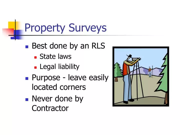
Property Surveys • Best done by an RLS • State laws • Legal liability • Purpose - leave easily located corners • Never done by Contractor
Property Surveys • Within boundary • Set-backs • Easements • Rights-of-way • Covenants • Ask about title insurance
Auxiliary Baseline Baseline • Line parallel to construction • Out of harm’s way • Often use Property Line • Auxiliary Baseline • Through site • Set permanent endpoints • Reset interior points as needed • Typically 90° from baseline
Batter Boards • Provide reference to building corners • 2x4 Uprights • 1x4 Ledger Board • Set level at known elevation • Nail on top defines line
Building Corner Batter Boards • Pencil line or saw kerf marks line • String intersection marks critical points • Ledger board elevation ties to critical construction elevations
B.S. = 5.65’ F.S. = 6.24’ Ledger board to be set at FF + 16’ = 223.50” Benchmark = 220.31’ Setting Ledger Boards HI = 220.31+5.65 = 225.96 Mark LB at (225.96 - 223.50) = 2.46’ below HI Mark stake at (6.24 - 2.46) = 3.78’ above ground Finish Floor Elev = 207.50’
Radiation • All points referenced from baseline • Staking Plan • Converts coordinates to angle and distance • Built in to Total Station
Pipeline Staking • Centerline - lath at regular intervals • Offset - Hub and grade stake at regular intervals
Offsets • Reference points set back from harm’s way • Contractor typically decides based on: • Depth of cut • Back-slope angle • Trench box? • Time cut is open
Grade Stakes • Mark offsets • 2x2 hub • Set back at offset • Top elevation set or known • Grade stake defines position • Gravity sewers: constant slope • Show cut to pipe invert
Highway Staking • Preliminary Route • Centerline and R-O-W • Cross-sectioning • Construction Grade Staking • Blue Tops • As-built
Preliminary Route Survey • Sets rough centerline • No curves – straight intersections • Centerline profile • Estimate cut and fill • Locate R/W needs
Centerline/ROW Staking • Define stationing • ROW marks limits of access • All construction/material inside ROW • Width varies along route • Add horizontal curves • Staking: • Hub/lath every station at RW • Lath every station at CL • Shoot elevations on hubs
Cross-sections • Determine existing grade • Centerline • Set distances R, L • Major changes in grade • Collected at regular intervals • At least every station • Depends on terrain, cost
Construction Grade Staking • Based on “typical section” • Stake centerline, slope “breakouts”
12’ + 4’(4) + 8’ + 6.3’(4) = 61.2’ Slope Stakes
12’ + 3.7’(4) = 26.8’ Slope Staking
Rough grade Blue Topping • Rough grade set by slope staking • Set hubs at finish subgrade • Mark top of hub with blue crayon or flag