Download
1 / 22
300 likes | 537 Views
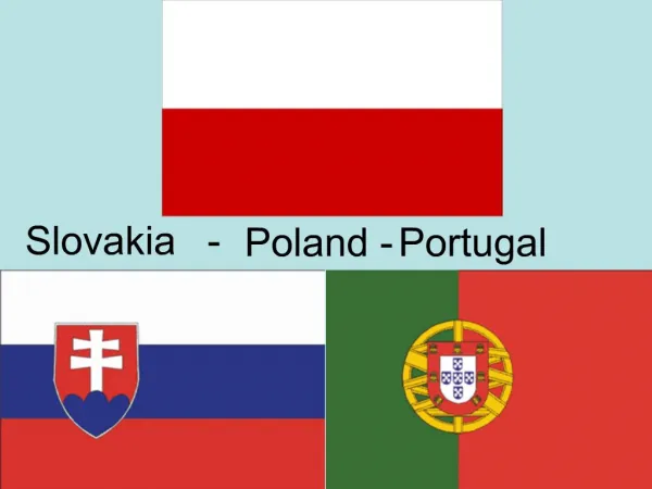
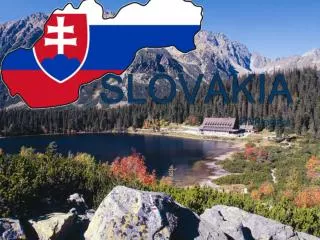
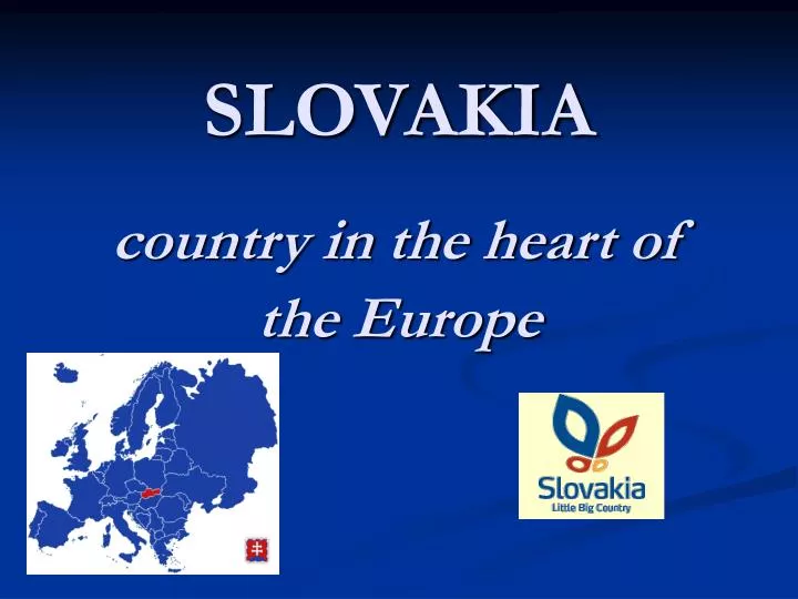
SLOVAKIA. country in the heart of the Europe. national anthem. General information.

E N D
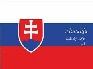
SLOVAKIA country in the heart of the Europe
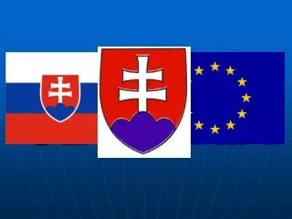
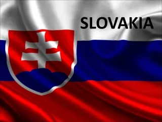
national anthem General information Official name: Slovak Republic (SR)State formation date:1st January 1993 Establishment: republicPolitical system:parliamentary democracy (150 members of parliament elected for 4 years)President: Ivan Gašparovič (since 2004), elected for 5 yearsPrime Minister: Robert Fico (since 2006)State symbols: national coat of arms/ emblem, national flag, state seal and national anthem „Nad Tatrou sa blýska“ Currency:Slovak crown 1 SKK=100 hallersfrom 1.1. 2009 the EURO should be used
Geography Area: 49 035 km² Population: 5 379 455 (year 2005) Nationality structure: Slovak – 85,8%, Hungarian – 9,7%, Gypsy – 1,7%, Czech – 0,8%, others – 2% Capital city: Bratislava Enter to EU: 1. may 2004 Official language: slovak Religions: Roman Catholic – 68,9%, Evangelic – 9,8% Greek Catholic – 4,1% wihtout confession – 13,7% other, unspecified – 3,5%
Bratislava region Trenčín region Žilina region Trnava region Nitra region Prešov region Banská Bystrica region Košice region Slovakia consists of eight administrative regions
Váh Gerlachovský štít Danube The Danube lowland Natural records of Slovakia • The highest mountain:Gerlachovský štít (High Tatras) - 2 654 m n.m • The largest lowland : The Danube lowland - 10 000 km2 • The longest river:Váh - 406 km • The biggest river:Danube - priemerný prietok 2 045 m3/s
High Tatras Mountain High Tatras are situated in north part of Slovakia, on frontier with Poland. In 1949 were declarated for first national park in Slovakia (TANAP) and in 1993 were together with Poland part of Tatry declarated of organization UNESCO as Biosphere Reserve Rock peaks: Gerlachovský štít, Kriváň, Rysy, Lomnický štít Deep ice valley: Mengusovská dolina, Veľká a Malá Studená dolina Tarns: Štrbské pleso, Skalnaté pleso
Gerlachovsky štít Štrbské pleso Skalnaté pleso Lomnický štít
National park of Pieniny It is the second oldest Park in Slovakia. It stretches on the border withPoland; the river Dunajec passes through it. It is possible to hire a raft and admire the wonderful scenery of the Park navigating down the river. The National Park of Pieniny was established on January 16, 1967 on an area of 21 square kilometres. It is recommended to climb the tallest top of the Pieniny mountains „Tri koruny“ lying on the Polish side of the Park.
Gothic gate - Súľovské skaly rocks Geyser of Herľany Next natural curiosities
Travertine lake in Vyšné Ružbachy Dubnik opal mines LúčkyWaterfall Demanovska cave
Ochtinska aragonite cave Demanovska ice cave
Historical monuments Spišský hradis the one of most extensive complex of Europe and it is the largest castle at Slovakia From 1993 is the part of world culture heritage of UNESCO
Bratislava castle Bojnicecastle Krásna Hôrka castle Devín castle
Open air museums VLKOLÍNEC - a monument reserve of folk architecture. This extraordinary and remarkable oasis of folk architecture was included in the List of the World Cultural and Nature Heritage of UNESCO in 1993.
Brhlovce - rock dwellings squeezed in tuff rocks Čičmany Stará Ľubovňa - Museum of the Zamagurie Village Bardejov Spa -The Museum of Folk Architecture
Prešov Presovthe town with an interesting past and dynamic present and mixed Slovak, Polish, Ukrainian and Ruthenian population is the metropolis of the north-eastern Slovakia, Presov region. It is the third largest city at Slovakia with approx. 92 000 inhabitants. It is also the centre of the historic region Šariš. The city name originates in the Hungarian word "eper" which means strawberry.
THANK YOU FOR YOUR ATTENTION! BYE, BYE!