Download
1 / 17
170 likes | 302 Views
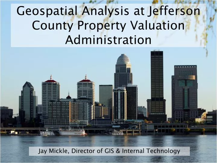
Geospatial Analysis at Jefferson County Property Valuation Administration. Jay Mickle, Director of GIS & Internal Technology. About the PVA. Responsible for assessing all real property at fair market value 287,000 mapped parcels; over 311,000 total property records

E N D
Geospatial Analysis at Jefferson County Property Valuation Administration Jay Mickle, Director of GIS & Internal Technology
About the PVA • Responsible for assessing all real property at fair market value • 287,000 mapped parcels; over 311,000 total property records • Statutory responsibility to inspect all parcels at least once every 4 years • Real property assessments broken up by land and improvement value
Cadastral Mapping Maintenance • PVA uses a 3rd party extension to ArcMap to edit & maintain Jefferson County’s parcel map
Proposed Solution -Use interpolation methods to create a prediction surface for residential vacant parcels by using land-sale data. -Extract values from the prediction surface to derive a value per square foot for each vacant parcel. -To reduce error from any one interpolation method, three different interpolation methods will be used and averaged.
Smoothed Surface of All Study Parcels -High Values in established up scale housing areas -High values in “trendy” areas -High values in areas with large new housing developments -Low values in urban low income areas -Low values in areas with large parcel sizes and large amounts of undeveloped land
Commercial Land Analysis - Goals • Predict commercial land value in the Central Business District (CBD) and along major transportation corridors using data based on sales of commercial vacant land in those areas. • To create a marketable booklet containing tables, maps, and charts of commercial vacant land sales and the corresponding predicted land values in the CBD and along major transportation corridors.
Foreclosure Analysis • Need to study effect of foreclosures on property values • Lower sales prices affect our entire reassessment plan • Vacant structure data also reviewed alongside foreclosures