Download
1 / 23
230 likes | 350 Views
United Nations SPOC Meeting Miami, February 19-23, 2008. Local User Terminals Manuel Valenzuela. System Overview. Search and Rescue System Beacon is activated due to grave and imminent danger. Distress signals are received by COSPAS-SARSAT satellites.

E N D
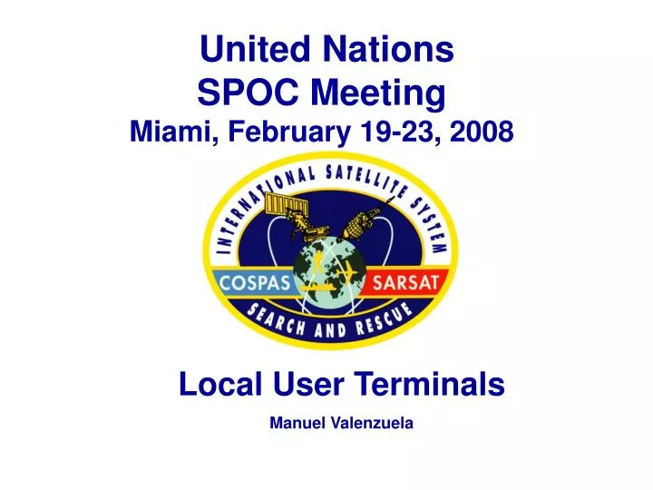
United NationsSPOC MeetingMiami, February 19-23, 2008 Local User Terminals Manuel Valenzuela
System Overview Search and Rescue System Beacon is activated due to grave and imminent danger. Distress signals are received by COSPAS-SARSAT satellites. Distress signals are relayed to automated ground stations called Local User Terminals (LUTs) Mission Control Centers (MCCs) receive alerts from LUTs, and forward them to RCCs. Rescue Control Centers (RCCs) verify distress and alert nearest Search and Rescue units. Search and Rescue units go to the scene and take care of the victims.
Local User Terminals • Cospas-Sarsat ground stations are called Local • User Terminals (LUT). There are two-types of LUTs • the LEOSAR Local User Terminal (LEOLUT) and • GEOSAR Local User Terminal (GEOLUT). • The LEOLUT is a satellite ground station that receive and process the signal of COSPAS-SARSAT low earth orbiting satellites and transmits distress alerts to the associated Mission Control Centre (MCC). • The GEOLUT is a satellite ground station that receives and process distress alerts from 406 MHz beacons relayed by COSPAS-SARSAT geosynchronous satellites and transmits distress alerts to the associated Mission Control Centre (MCC).
Functions of a GEOLUT • Maintain accurate system time • Receive and process the GEOSAR downlink signal from the selected geosynchronous satellite. • Recover and process all 406 MHz beacon messages relayed by the selected satellite. • Produce GEOSAR alerts, including the associated GPS location data when available in the beacon message, and forward this information to the associated MCC.
Beacon Message Processing The processing consists of the following sequence: Message recovery Bit verification or error correction Message validation Message integration (GEOLUT only) Message processing Transmission of alert data to the associated MCC.
GEOSAR Satellites and GEOLUTs Coverage The figure shows the location of 17 GEOLUT sites in the Cospas-Sarsat System.
Waiting Time - GEOSAR • Geosynchronous satellite provided large coverage footprint (Each satellite covers 1/3 of the Globe). • The GEOSAR system can relay 406 MHz signals to GEOLUTs immediately after a beacon is activated, including the associated GPS location data when available in the beacon message. • Near instantaneous alerting (will wait up to 5 minutes for confirmation).
Functions of a LEOLUT • Maintain accurate system time using GPS • Maintain and update satellite ephemeris • Acquire, track and process the LEOSAR downlink signal • Process distress signals from the SAR channels (121 MHz, 243 MHz, 406 MHz SARR and SARP PDS stream) • Calculate Doppler position whenever enough reliable data is available • Produce LEOSAR alerts, including the associated GPS location data when available in the beacon message, and forward this information to the associated MCC
Beacon Message Processing The processing consists of the following sequence: Message recovery Bit verification or error correction Message validation Message processing Doppler Processing Transmission of alert data to the associated MCC.
LEO Local and Global Coverage Local Coverage Global Coverage 406 MHz beacon detections can be stored on board the satellite and re-broadcast later Local Coverage Detection of a 121.5/243 MHz beacon requires mutual visibility between beacon, satellite and ground station (LUT) Global/Local Coverage
TIME OF CLOSET APPROACH (AND ACTUAL FREQUENCY) DOPPLER SHIFT CAUSES FREQUENCY TO APPEAR LOWER THAN ACTUAL DOPPLER SHIFT CAUSES FREQUENCY TO APPEAR HIGHER THAN ACTUAL Doppler Effect The frequency vs time plot is representative of a signal received by a LEO satellite passing over a stationary transmitter on the surface of the Earth.
Doppler Processing The point of inflection of the curve represents the point in time where the satellite was closest to the transmitter (TCA - Time of Closest Approach). The shape of the curve can be processed to indicate the distance the transmitter was from the satellite track.
2A 1A Ambiguity Resolution 2B 1B 2 1 Two Pass Solution for a Beacon Located in Brazil LEGEND: ground tracks of successive spacecraft orbits 1A, 1B Real and Image solutions from pass 1 2A, 2B Real and Image solutions from pass 2 1 2
LEO/GEO Processing • LEO/GEO processing combines LEOSAR data points • with data provided by the GEOSAR system to produce • alerts from a combination of both sources. • LEO/GEO processing allows the Cospas-Sarsat system to produce Doppler locations in some cases where the data from one LEOLUT is insufficient to produce a location. It can also lead to an improvement in Doppler location accuracy.
LEOLUTs Coverage(May 2008) The figure shows the location of 45 LEOLUT sites in the Cospas-Sarsat System.
Waiting Time - LEOSAR It takes a LEO satellite 12 hours to view the entire Earth surface (any location to pass below the satellite) as more satellites orbit the Earth in different planes, the coverage time is reduced. The LEOSAR System provides a typical waiting time of less than one hour at mid-latitudes (average is 46 minutes). * Waiting time is the interval from the time of beacon activation to the time the LUT transmit the beacon alert to the MCC
COSPAS-SARSAT Future (MEOSAR) • Russia (GLONASS), USA (GPS aka DASS) and the European Commission/European Space Agency (Galileo) are working to include 406 MHz repeater instruments on future medium Earth altitude orbiting (MEO) satellites. • The MEOSAR system will be fully compatible with existing COSPAS-SARSAT and future 406 MHz beacons. • Some of the MEOSAR benefits are: • A MEO satellite has a footprint much larger than a LEO satellite, and almost as large as a GEO satellite, that slowly moves around the world providing long periods of coverage. • Multiple MEO satellites in the sky will provide continuous coverage everywhere in the world and satellite redundancy and availability. • Near instantaneous global coverage with accurate independent location capability.
The principal functions of a MEOLUT are: Acquire, track and process the MEOSAR downlink signal. Recover and process all 406 MHz beacon messages relayed by MEO satellites. Calculate 406 MHz beacon locations using a combination of time difference of arrival (TDOA) and frequency difference of arrival (FDOA) techniques. Produce MEOSAR alerts, including the associated GPS location data when available in the beacon message, and forward this information to the associated MCC Medium Earth Orbiting LUT (MEOLUT)
MEOSAR Coverage MEOSAR Coverage with MEOLUTs in Hawaii and Maryland
More Information • For more information visit the following web sites: • http://www.sarsat.noaa.gov/ • http://www.cospas-sarsat.org/ • http://www.uscg.mil/hq/g-o/g-opr/sar.htm • http://www.acc.af.mil/afrcc/ • http://poes.gsfc.nasa.gov/sar/sar.htm