Download
1 / 20
200 likes | 277 Views
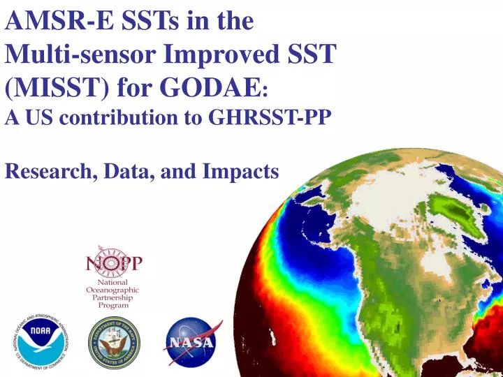
AMSR-E SSTs in the Multi-sensor Improved SST (MISST) for GODAE : A US contribution to GHRSST-PP Research, Data, and Impacts. Outline. Overview of project Future plans. MISST. 5-year project funded in 2004 by NOPP Project ended 5/31/2009 So…. What was accomplished?.

E N D
AMSR-E SSTs in the Multi-sensor Improved SST (MISST) for GODAE: A US contribution to GHRSST-PP Research, Data, and Impacts
Outline • Overview of project • Future plans
MISST • 5-year project funded in 2004 by NOPP • Project ended 5/31/2009 • So…. What was accomplished?
Key successes 2004-2009 • Demonstrated positive impact of AMSR-E SSTs on hurricane track forecasts (Navy), hurricane intensity forecasts (NOAA), operational SST products (NOAA and Navy). • US Navy operationally utilizes AMSR-E SSTs in their K10 analysis and is experimenting with using it in their NOGAPS SST • NOAA is operationally utilizing AMSR-E SSTs in their N-AWIPS workstations • Operational weather/ocean forecasting use of AMSR-E SSTs • Australia: Bureau of Meteorology Bluelink SSTs • France: IFREMER/CERSAT Odyssea • UK: Met Office OSTIA-SST
MISST SST Data • NAVOCEANO L2P: AVHRR LAC 16/17/18 L2P: AVHRR GAC 16/17/18 L2P: AVHRR METOP-A L4: K10 • RSS L2P: TMI, AMSR-E orbital L3P: TMI, AMSR-E gridded L4: MW+IR OI SST • NOAA L2P: GOES-East&West L4: Reynolds AVHRR+AMSR OI L4: Reynolds AVHRR OI • JPL GDAC & L2P: MODIS Terra&Aqua RSMAS Successful production of 15 SST L2P/L3P datasets with time of observation, location, bias, standard deviation, …., 4 L4 products
NAVOCEANO • Impact at NAVOCEANO/NRL • Access to multiple SST data sets from national and international providers • More data into K10, MODAS, and NCODA analyses (testing MSG & AATSR & FRAC) • K10 now operationally uses AVHRR LAC, AVHRR GAC, GOES, and AMSR-E data • NCODA has been designed to assimilate multiple data sets, currently it assimilates AVHRR, GOES, AMSR-E, AATSR, MSG • Evaluation of HYCOM use of improved NCODA • Evaluation of AMSR-E SSTs on hurricane track and intensity forecasts Prioritized feedback: Positive impact on NAVOCEANO operations: More data sources Evaluation of analysis improvement Better uncertainty estimates Diurnal model Improves hurricane TRACK and intensity forecasts
Gulf of Mexico HYCOM • 1/25 HYCOM model running in real-time in Gulf of Mexico • GoM HYCOM being used as LBC in CODAE models (ROMS and HYCOM) • Assimilates all sources GHRSST data plus in situ (ships and buoys) • NOAA AVHRR (GAC and LAC), METOP AVHRR (GAC and LAC) • GOES 10/11 SST, AMSR-E MW, AATSR, MSG (but not in footprint)
HYCOM evaluation 15/01/06 15/01/06 HYCOM MISST 24/09/05 24/09/05 Cold tongue index for AVHRR, AVHRR/AMSRE, MISST, and HYCOM Thirteen-day running meanSST time series for the ye ar 2006 at location NDBC buoy # 420003 (eastern Gulf of Mexico - 26 03 59°N; 085 56 39°W)
NCODA SSTs in COAMPS Katrina simulations • Improved track forecast • Better enthalpy fluxes • Better intensity forecasts
NOAA • Impact at NOAA • Development of sensor errors for GOES • Improvements to three NOAA OI SSTs: NOAA POES/GOES and Reynolds AVHRR & AMSR-E+AVHRR OI SST • Bring Reynolds AMSR-E+AVHRR SST to the National Centers Advanced Weather Interactive Processing System (N-AWIPS) operational workstations • Development of LTSRF at NODC (international archive) • Prioritized feedback • Positive impact on operational SSTs feeding into NWP and responding to feedback • Distribution of new high-res SSTs through N-AWIPS • Emphasized need for more retrospective re-analysis (individual products and blended products) • Sustain archive and operational data streams
N-AWIPS operational workstations use GHRSST Reynolds AMSR-E+AVHRR 25 km and GOES now available to forecasters
Public Impacts • AMSR-E OI SSTs used in “An inconvenient Truth” • Imagery prepared by NASA SVS
National Geographic Ocean Atlas • Organized around ocean basin – each chapter opens with an image of the ocean basin using MW+IR OI SSTs
Science publication • Worden, A.Z., et al., "The genomes of Micromonas: global reporters in marine environments", Science, 324(5924), 268-272, DOI:10.1126/science.1167222., 2009 • Used MW+IR OI SSTs
Fisheries Ocean Imaging provides commercial and recreational fisherman with MW+IR OI SSTs. Feedback: “fishermen have come to depend on these products as one input used in their day-to-day decision making”
NASA news articles featuring AMSR-E SSTs • Give examples of Articles • Microwave Imager Measures Sea Surface Temperature Through Clouds • http://earthobservatory.nasa.gov/Newsroom/NewImages/images.php3?img_id=2918 • Global Sea Surface Temperature from AMSR-E • http://earthobservatory.nasa.gov/Newsroom/NewImages/images.php3?img_id=15305 • La Nina in Progress • http://earthobservatory.nasa.gov/Newsroom/NewImages/images.php3?img_id=17180 • El Nino Chills the Western Pacific Ocean • http://earthobservatory.nasa.gov/Newsroom/NewImages/images.php3?img_id=17501 • Super Typhoon Ioke's Cool Wake • http://earthobservatory.nasa.gov/Newsroom/NewImages/images.php3?img_id=17392 • Atlantic Sea Surface Temperature Anomaly • http://earthobservatory.nasa.gov/Newsroom/NewImages/images.php3?img_id=17340 • Initial Conditions for the 2006 Atlantic Hurricane Season • http://earthobservatory.nasa.gov/Newsroom/NewImages/images.php3?img_id=17292 • El Niño, the Usual Suspect? • http://earthobservatory.nasa.gov/Newsroom/NewImages/images.php3?img_id=10913 • Hurricane Alley Heats Up • http://earthobservatory.nasa.gov/Newsroom/NewImages/images.php3?img_id=16996 • Hurricane Fabian’s Trail • http://earthobservatory.nasa.gov/Newsroom/NewImages/images.php3?img_id=16299 • Sea Surface Temperature in Western Pacific • http://earthobservatory.nasa.gov/Newsroom/NewImages/images.php3?img_id=16704 • Hurricane-Ready Sea Surface Temperatures • http://earthobservatory.nasa.gov/Newsroom/NewImages/images.php3?img_id=17368 • Dust Dampens Hurricane Formation • http://earthobservatory.nasa.gov/Newsroom/NewImages/images.php3?img_id=17617 • Hurricane Isabel • http://earthobservatory.nasa.gov/NaturalHazards/natural_hazards_v2.php3?img_id=11720 • Hurricane Frances • http://earthobservatory.nasa.gov/NaturalHazards/natural_hazards_v2.php3?img_id=12417 • Typhoon Mawar • http://earthobservatory.nasa.gov/NaturalHazards/natural_hazards_v2.php3?img_id=13086 • Feature Article: Seeing into the heart of a Hurricane http://earthobservatory.nasa.gov/Study/HurricaneHeart/printall.php
“Our Changing Planet” • MW+IR OI SSTs featured in book chapter written by P. Minnett
2008 NOPP award 2008 NOPP Excellence in Partnering Award given to MISST project 41 peer reviewed journal articles, 12 in diurnal warming alone.
Summary • MISST project impacted NOAA and US Navy operations • Research results published in journals • Advances in satellite SST error budget estimation, upper ocean physics