Download
1 / 21
210 likes | 308 Views
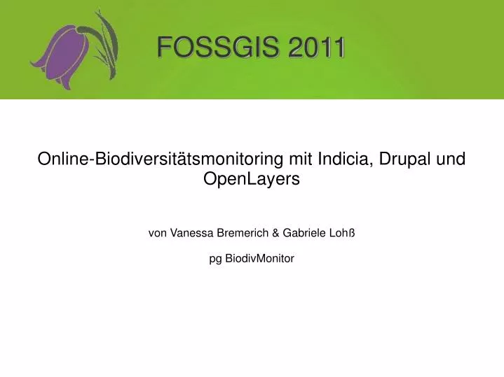
Online-Biodiversitätsmonitoring mit Indicia, Drupal und OpenLayers von Vanessa Bremerich & Gabriele Lohß pg BiodivMonitor. FOSSGIS 2011. Hintergrund. Zusammenarbeit mit dem Botanischen Verein von Berlin/Brandenburg e.V.

E N D
Online-Biodiversitätsmonitoring mit Indicia, Drupal und OpenLayers von Vanessa Bremerich & Gabriele Lohß pg BiodivMonitor FOSSGIS 2011
Hintergrund • Zusammenarbeit mit dem Botanischen Verein von Berlin/Brandenburg e.V. • Ansprechpartner vom Fachbereich Geobotanik in Greifswald, floristische Datenbank und Herbarien in Mecklenburg- Vorpommern
Online-Biodiversitätsportale Online-Biodiversitätsportale ermöglichen leichtere Partizipation und das Bilden von Netzwerken, • da der Zugang über das Internet ortsunabhängig ist, • Nutzer keine zusätzliche Software benötigen, • Daten auf einem zentralen Datenbank-Server gespeichert und verwaltet werden können, • einheitliche Datenstrukturen durch vorgegebene Formulare gewährleistet werden können.
Ziele • Einträge der Pflanzenvorkommen über ein Eingabeformular in eine PostgreSQL/PostGIS-Datenbank • Koordinaten der Fundorte durch Markieren in einer OpenLayers-Karte ermitteln • Verbreitungsdaten über GeoServer in OpenLayers darstellen und abfragen • CSV-Export der eingetragenen Daten • Nutzerrechte anpassen • Bestehende Verbreitungsdaten des Botanischen Vereins integrieren
Indicia • Für Biodiversitätsaufnahmen entwickelt von John van Breda (Biodiverse IT) im Rahmen des Programms OPAL (Open Air Laboratories Network) • OpenSource (GPLv3) mit guter Dokumentation und Community-Unterstützung • PHP, Kohana und jQuery • nutzt PostGIS, OpenLayers und Geoserver • Aufbau: • Datenbank „Indicia Warehouse“ (Postgres/PostGIS) • Admin-Weboberfläche für Warehouse • CMS-Modul „Iform“ für Drupal mit anpassbaren Formularen
Weiterführend ... • Vorkommen als Polygone definieren und die Arten jeweils zuweisen • Bestehende Datensätze des Botanischen Vereins in die Datenbank integrieren und darstellen • Mobile Applikation (Android) zur Dateneingabe und lokalen Datenspeicherung
Mobile App 1.Dateneingabe in das Warehouse 2.Offline-Datenspeicherung 3.Formulare dynamisch erstellen Geocouch oder SQL-Datenbank
Quellen • Indicia • http://forums.nbn.org.uk/viewforum.php?id=19 • http://code.google.com/p/indicia/ Drupal • http://www.drupalcenter.de/ • http://drupal.org/project/themes OpenLayers • OpenLayers, Jansen und Adams, 2010 Open Source Press • http://openlayers.org/dev/examples/ JavaScript • jQuery, 2010 O'Reilly Verlag GmbH & Co. KG GeoServer • http://docs.geoserver.org/stable/en/user/ Botanischer Verein von Berlin/Brandenburg • http://www.botanischer-verein-brandenburg.de/ Floristische Datenbank in Mecklenburg-Vorpommern • http://geobot.botanik.uni-greifswald.de/portal/index.php?option=com_frontpage&Itemid=83