Download
1 / 31
310 likes | 426 Views
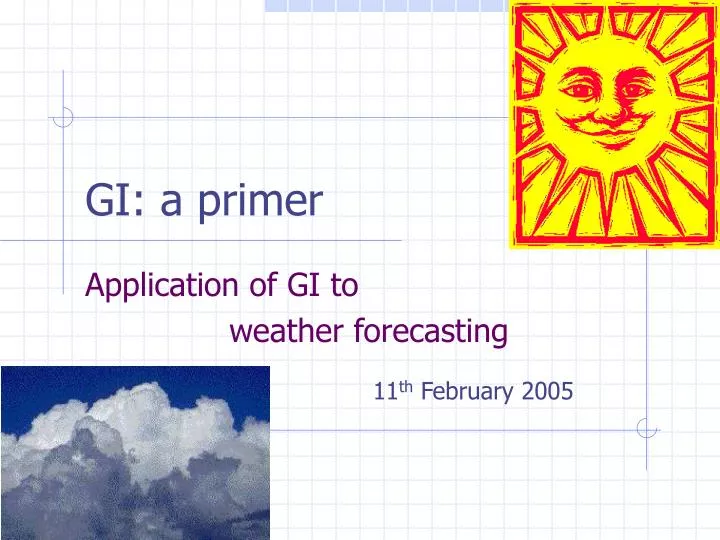
GI: a primer. Application of GI to weather forecasting. 11 th February 2005. TOPICS. Operational needs of weather forecasts Operational constraints Old technology and GI Remote sensing for weather Modelling The future. Operational Needs. Rapidly changing (dynamic)

E N D
GI: a primer Application of GI to weather forecasting 11th February 2005
TOPICS • Operational needs of weather forecasts • Operational constraints • Old technology and GI • Remote sensing for weather • Modelling • The future
Operational Needs • Rapidly changing (dynamic) • Regular instrumental updates (global) • Dense coverage of stations • Point to surface conversion (interpolate) • Rapid dissemination to public • Global, regional and local scales
ABOVE: moored buoy LEFT: drifting buoy
LEFT: radiosonde LEFT: launch of radiosonde balloon RIGHT: sounding rocket
Operational Constraints • Locations of stations are often sparse • No regular updates from inhospitable places (data retrieved from tapes) • Large gaps in data – both spatial and temporal • Collection of meteorological data requires access to Global Telecommunication System (GTS)
Old technology and GI • Historically, meteorological records have satisfied the basic requirements of geographical data • Each station has a specific latitude, longitude and height above mean sea-level • For each station, the synoptic hourly observations are the attribute data
Old technology and GI • All climate records possess an x,y,z coordinate reference • The problem has always been the estimation of gaps between existing station locations • Spatial analysis makes use of techniques such as interpolation and kriging to generate surfaces
Old Technology and GI Example: 4 stations with temperature readings (left) Typically, we have to generate a continuous surface from these isolated points.
Interpolated Nearest Neighbour
Remote Sensing and Weather • Geostationary satellites such as Meteosat provide high frequency data updates for a target region (15-30mins) • Spectral channels on board the satellites yield useful information about position, direction and velocity of weather systems
Infrared radiant energy
Visible albedo
Water vapour Tropos. Water Cloud motion
AVHRR 29/11/01 13:39 < VIS IR >
TOPEX-POSEIDON • For much of our oceans, temperature is not measured directly – but by proxy • Warmer water expands – if surrounded by cooler water it rises. Its height is therefore an indication of its temperature
TOPEX-POSEIDON • TOPEX is an altimetric satellite • Return time of pulses of energy sent by TOPEX to the ocean surface are measured • Distance between satellite and water surface can be accurately measured • TOPEX used to measure El Niño
Modelling • Because of serious gaps in station observations, satellite data supplements ground station, ship, buoy and ascent readings • ALL data, once collected, is used to initialise climate prediction models • Smooth gridded interpolated surfaces of observed data are called reanalysis
Modelling Reanalysis fields are generated for different pressure levels…from surface to 31 or so levels up to the top of the atmosphere
Modelling • All spatially referenced meteorological data are processed at the Met. Office and fed into global climate models via the COSMOS system • The current Unified Model (HadAM3) performs weather (short-range) and climate (long-range) forecasts
Modelling • Weather and climate predictions generated by models are essentially thematic maps showing specific variables (rain, temperature, cloud etc.) • All forecast field data are spatially referenced and can be easily fed into additional models (flood defence, agriculture, hydrology etc.)
The future • Meteosat Second Generation is a new European weather satellite capable of observing Europe and Africa every 15 minutes • Has more channels than the older Meteosat • Can help resolve cloud physics parameters
The future • Jason-1 is a new altimetric satellite designed to follow on from the TOPEX POSEIDON mission