Download
1 / 11
110 likes | 269 Views
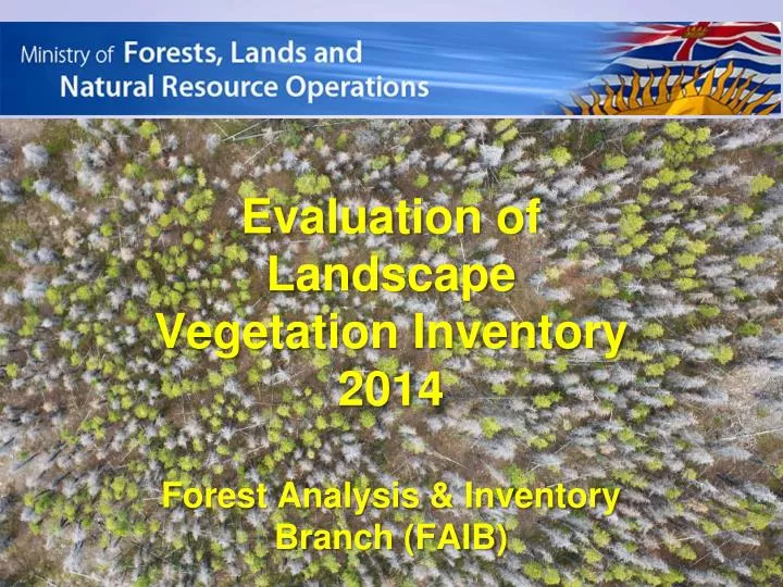
Evaluation of Landscape Vegetation Inventory 2014 Forest Analysis & Inventory Branch (FAIB). Agenda. Overview of the LVI methodology and background of the LVI projects (Xiaoping) Summary of the evaluation results WL ground vs LVI estimates (Margaret) WL ground vs kNN (IAN)

E N D
Evaluation of Landscape Vegetation Inventory 2014 Forest Analysis & Inventory Branch (FAIB)
Agenda • Overview of the LVI methodology and background of the LVI projects (Xiaoping) • Summary of the evaluation results • WL ground vs LVI estimates (Margaret) • WL ground vskNN (IAN) • QN ground vs LVI (Xiaoping) • Summary and next steps
2. Landscape Vegetation Inventory (LVI) • A new and low cost inventory at landscape level • Applications: TSR, silviculture and inventory planning, strategic analysis • Completed Quesnel TSA west (1 million ha) in 2011 • Williams Lake TSA west (1.7 million ha) 2014.
LVI Design DCS Sampling (attributes) Interpolation and classification LandsatSegmentation and Stratification (spatial) Classification map and attribute database
2908 photo samples SAMPLING MAPPINGOPTIONS MAPPING MATCHING UNKNOWN TO KNOWN INITIAL SEGMENTS PHOTO INTERPRETED SAMPLES
3. Ground Sampling • WL: 84 9-points clusters, plus 31 CMI plots • QN: 83 9-points clusters • Objectives: - Primary: assess sample estimates at population level- Secondary: assess DCS photo interpretation and kNNTo integrate a ground sampling into LVI
Cost and Benefit Analysis Landsat segmentation and classification done in-house The major cost components: photo acquisition, interpretation, kNN and analysis WL: $0.12 /ha, QN: $0.10 /ha, Ground sampling: WL: $0.11/ha QN: $0.12/ha
Summary • Overall LVI estimates of live tree volume, species, and height/age are in agreement with the ground • Photo interpretation significantly underestimates dead trees • Inconsistent utilization and net down processes in VDYP7 and ground compiler • Adjustment: dead volume, and live BA • Needs for improving interpretation of basal area and TPH • Improve classification (kNN and alternatives)
LVI Database: FLNR internal: • \\mitten.dmz\ftp\external\!publish\LVI\WL_database\LVI_database.gdb • External: http://www.for.gov.bc.ca/ftp/hts/external/!publish/LVI/WL_databases/LVI_database.gdb The LVI polygon layer will be cut into VRIMS and published in LRDW after 2014 projection