Download
1 / 16
160 likes | 303 Views
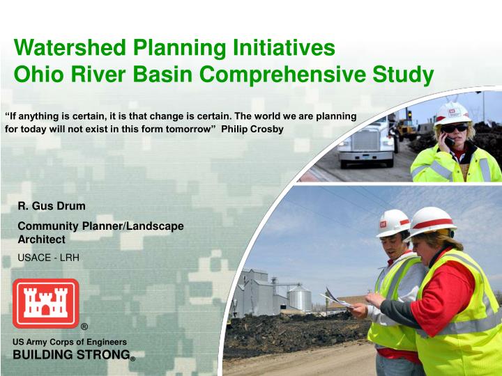
Watershed Planning Initiatives Ohio River Basin Comprehensive Study. R. Gus Drum Community Planner/Landscape Architect USACE - LRH. “If anything is certain, it is that change is certain. The world we are planning for today will not exist in this form tomorrow” Philip Crosby.

E N D
Watershed Planning InitiativesOhio River Basin Comprehensive Study R. Gus Drum Community Planner/Landscape Architect USACE - LRH “If anything is certain, it is that change is certain. The world we are planning for today will not exist in this form tomorrow” Philip Crosby
Driving Forces of Change in Water Resources Planning • Regional, more damaging events…..1993 Mississippi River, 2005 Katrina/Rita, 2008 Gustav/Ike, 2008 Midwest – losses of life, property damages. • Regional coastal/ecosystem deterioration issues – Everglades, Louisiana Coastal wetlands, Mississippi barrier Islands. • Increased concern for “systems integrity”…….New Orleans • System sustainability issues – Dam Safety Program & Levee Safety Act • Public safety concerns arose out of past infrastructure failures. • Concern over future climate changes – sea level rise, temperature, precipitation, storm intensity, evaporation rates and affects on water supply, flash flooding, stormwater issues, droughts, etc.
The Winds of Change • “We need to move to a watershed approach as it applies to water resources projects so that each of our projects fits into the context of a regional plan.” LTG Flowers (2002) • The institution of collaborative planning (EC1105-2-409) • Concerns about system sustainability and application of the “Environmental Operating Principles” - an “Environment” that is integrated, regional and apolitical. • USACE’s “12 Actions for Change”…….comprehensive systems approach.
Basin and Watershed Water Resources Planning • 1983 Principles & Guidelines – watershed approach • 1999 Policy Guidance Letter #61 – Application of the Watershed Approach in Corps Civil Works Planning • Section 202 of WRDA 2000 amending Section 729 of WRDA 1986 – “authorizes” Watershed and River Basin Assessments • April 2000……ER1105-2-100 – Civil Works Planning Manual • January 2009…EC1105-2-411 – Watershed Planning Circular • Initial Watershed Assessment ($100K Federal) • Watershed Assessment (75%-25%) • Other federal agencies’ watershed assessment and management methodologies (EPA, NRCS (RWA), ARC, TVA, etc.)
Watershed Jargon • USGS established Hydrologic Unit Code (HUC) system • Hydro-geographic units for watershed planning purposes • Basin – HUC 2 level (national scale) • Sub-basin – HUC 4’s directly intersecting major rivers such as the Kanawha River sub-basin intersecting the Ohio River at Pt. Pleasant, WV • Watershed – HUC areas 6 through 8 • Sub-watershed – HUC areas greater than 8 • Catchment – drainage area of first order streams (headwaters of the stream) • Useful system when defining scope of watershed planning.
Watershed Planning Assessments • Watershed Assessment Factors: • Demographics – population growth, employment • Public and private development & infrastructure systems • Transportation system (highway, railway, inland navigation, terminals) • Changes in land cover types and distribution over time • Hydrology (watershed size, floodplain zones, discharges, stormwater, channel blockages, etc.) • Water quality (CSO’s, AMD, sedimentation, pharmaceuticals, TMDL’s, non-point pollution, etc.) • Terrain analysis – future development potential • Changes in aquatic and terrestrial ecosystems • Changes in vegetation types and coverage • Geology and soils (mining, erosion, cultivation) • Historic and archeological resources • Land use controls • Affects of anticipated climate change
Recent Watershed Planning • West Virginia Statewide Flood Protection Plan (2002) • 15.5 million acres of rugged terrain. • 32 HUC 8 watersheds in the state. • Approximately 32,000 miles of streams. • Flood control structures by Corps and NRCS. • Water resources and flooding issues across the state. Numerous Federal Disaster Declarations in the state. • Plan included statewide strategies and recommendations addressing Federal, state and local initiatives for reducing flood damages. • Many recommendations already enacted.
5 Ohio Counties Watershed Assessment for ARC • ARC emphasis on 5 counties using a watershed approach by LRH District. • Watersheds and their problems extended far beyond the political boundaries of the individual counties. • Some water resources solutions are beyond the control of the 5 counties. • A classic example of geo-political versus watershed approach – agency mission defined by political boundaries not watersheds.
Basin Statistics and Resources • Geography and demographics • 204,000 square miles (130.5 million acres) • 15 states, 548 counties and over 2,600 municipal areas • 152 HUC 8 watersheds, 15 sub-basins (HUC 4) • More than 26 Metropolitan Statistical Areas (MSA’s) • Approximately 25 million people • Over 5 million people using Ohio River as primary drinking water source • Ohio River contributes 60% of the flow in the Mississippi River • Resources • Rich in water, coal, gas, timber, agricultural production, etc. • Rich in ecosystem resources (T&E mussels, fish, plants, etc.) • 83 Corps reservoirs, 75 TVA reservoirs and 1,000+ NRCS dams • Over 100 local protection projects (levees, floodwalls, channels, etc.) • Ohio River Basin navigation system – commodity flows and employment
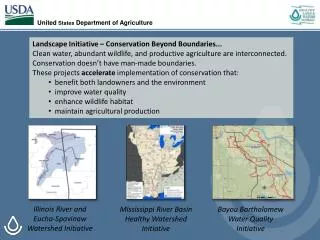
Basin Issues(Over 200 responses and counting) • Issues collected from USACE, stakeholders & public • Aging infrastructure – levees, floodwalls, reservoirs, etc. • Over 1,000 Combined Sewer Overflows (CSO’s) on Ohio River. • Impaired streams throughout the region. • Water quality - AMD, sedimentation, bacteria, chemicals pharmaceuticals. • Flooding and stormwater management. • Habitat losses, reservoir releases, wetlands development. • Public lands management and recreation. • Climate change affects on water resources management. • Stream gaging O&M costs and sustainability. • Invasive species • Potential for out-of-basin water transfers • Ohio River Basin study web site: www.orboutreach.com
Macro-scale Basin Analysis - GIS • Data collection is at the HUC 8 watershed level rolled up into HUC 4 sub-basins and basin (HUC 2) level of analyses. • Land cover, location quotients, population, at-risk structures, flood insurance coverage, resources, climate, ecosystems, T&E species, flooding, etc. • FEMA, NRCS, USGS, USACE, NOAA, HAZUS, USFWS, etc.
Ohio River Basin AnalysisAlternatives Formulation • Using Federal, state and local GIS databases & thematic map layering to uncover land use relationships and describe changes over time as basis for alternatives formulation. • Using data from HAZUS and 100+ LPP footprints we are deriving protected assets within LPP line of protection – people, structures, critical facilities, a first. • GIS data will be published as an Ohio River Basin atlas for public use.
Watershed Planning Initiatives? • Basinwide water management plan • Numerous sub-basin & watershed assessments – state, watershed associations, regional agency partners. • Reservoir storage reallocation studies – optimization of storage benefits (78 multi-purpose reservoirs). • Ongoing Dam Safety and Levee Safety initiatives • Sub-basin and watershed scale ecosystem restoration with USFWS, DNR’s & TNC • Local jurisdiction initiatives – stormwater management, land use zoning, NFIP, building codes, TDR/PDR, etc.