Download
1 / 7
70 likes | 73 Views
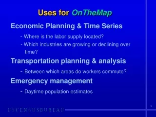
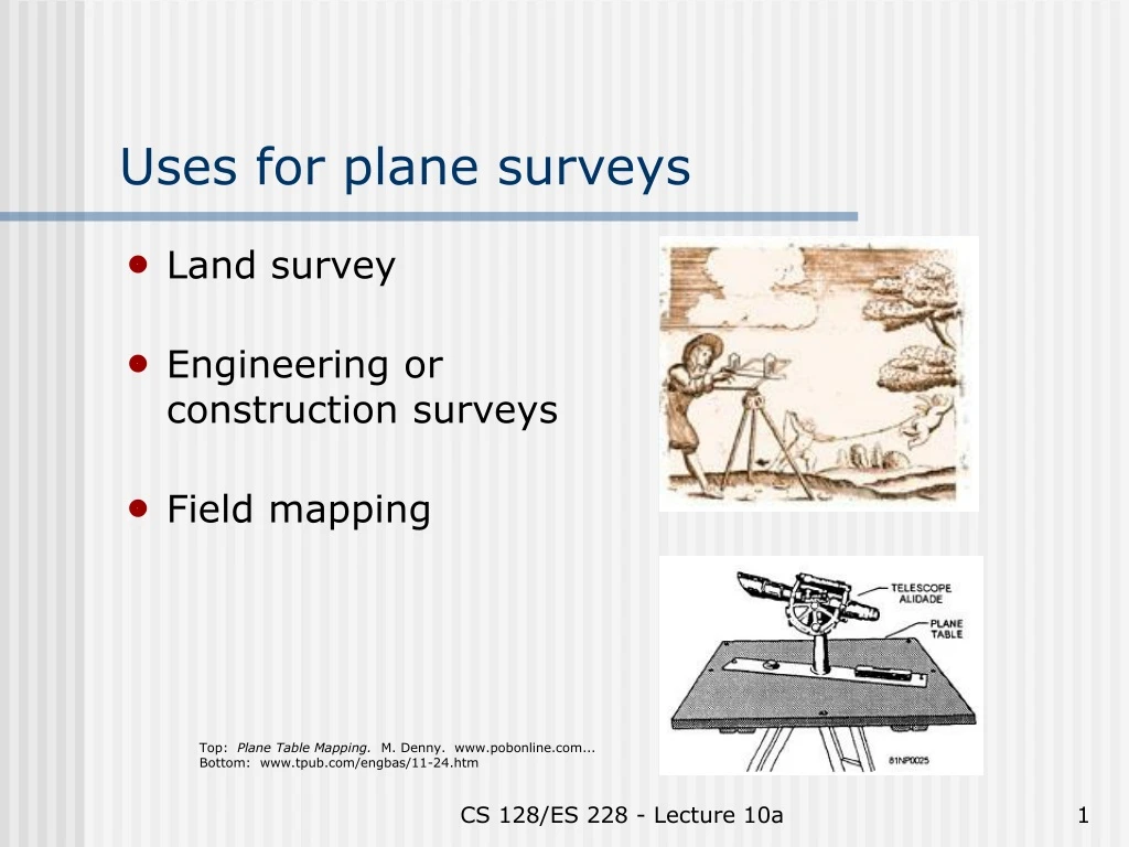
Uses for plane surveys. Land survey Engineering or construction surveys Field mapping. Top: Plane Table Mapping. M. Denny. www.pobonline.com... Bottom: www.tpub.com/engbas/11-24.htm. Basic methods. Locating a point Measuring an angle Measuring a distance

E N D
Uses for plane surveys • Land survey • Engineering or construction surveys • Field mapping Top: Plane Table Mapping. M. Denny. www.pobonline.com...Bottom: www.tpub.com/engbas/11-24.htm CS 128/ES 228 - Lecture 10a
Basic methods • Locating a point • Measuring an angle • Measuring a distance • Measuring differences in elevation CS 128/ES 228 - Lecture 10a
Locating a point • Start with known location or previous point • Direction + distance common for plane surveys (ex. “metes & bounds”) • Two angles common for geodesy Principles of Surveying. 2nd ed. C. A. Herubin, 1978 CS 128/ES 228 - Lecture 10a
Measuring an angle • Horizontal angles: use level, transit, or theodolite • Vertical angle: use transit or theodolite • Either:- graduated circles or- digital readout Both: Principles of Surveying.2nd ed. C. A. Herubin, 1978 CS 128/ES 228 - Lecture 10a
Angles: readability • Horizontal & vertical circles typically graduated to 1o for construction grade instruments, 5’ or better for survey instruments • Vernier improves resolution by 10x or better Principles of Surveying. 2nd ed. C. A. Herubin, 1978 • Digital readouts to 5” or better CS 128/ES 228 - Lecture 10a
Measuring a distance • Start with known location or previous point • Three techniques:1. Taping2. Stadia markings3. Electronic distance measurements (EDM) CS 128/ES 228 - Lecture 10a
Taping: errors (& fixes) • Alignment – plumb bob • Tension – tension handle (or experience) • Thermal expansion – correction tables • Slope - cosines Diagram: www.benmeadows.com CS 128/ES 228 - Lecture 10a