Download
1 / 17
170 likes | 182 Views
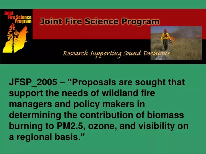
JFSP_2005 – “Proposals are sought that support the needs of wildland fire managers and policy makers in determining the contribution of biomass burning to PM2.5, ozone, and visibility on a regional basis.”. Principal Investigators : Dr. Andrzej Bytnerowicz, USFS/PSW Riverside, CA

E N D
JFSP_2005 – “Proposals are sought that support the needs of wildland fire managers and policy makers in determining the contribution of biomass burning to PM2.5, ozone, and visibility on a regional basis.”
Principal Investigators: Dr. Andrzej Bytnerowicz, USFS/PSW Riverside, CA Dr. Haiganoush Preisler, USFS/PSW Albany, CA Cooperators: Dr. Sharon Zhong, University of Houston Mr. Ricardo Cisneros, UC Merced Dr. Michael Arbaugh, USFS/PSW Riverside Dr. Tim Brown, Desert Research Institute Dr. Carolyn Hunsaker, USFS/PSW Clovis Mr. Trent Procter, USFS- Region 5 Ms. Annie Esperanza, NPS – Sequoia and Kings Canyon NP
“Tools for Estimating Contributions of Wildland and Prescribed Fires to Air Quality in the Southern Sierra Nevada, California” Photo by Eric Knapp
PROJECT OBJECTIVES 1. Expand existing local networks of air pollution monitors into a regional network useful for spatial modeling of ozone and particulate matter concentration in the southern Sierra Nevada region. 2. Develop and implement mobile monitoring systems to measure ground level pollutant production from multiple fires. 3. Implement BlueSky dynamic modeling system for the southern Sierra Nevada using local topography, weather conditions, and fire history. 4. Develop a statistical model to evaluate the BlueSky model as a forecasting tool for particulate matter from fires and to estimate the precision of its outcome. 5. Develop a statistical model to forecast (with specified precisions) next day or next week prescribed fire effects on regional air pollution (O3 and PM).
Sierra National Forest Sequoia National Forest Sequoia and Kings Canyon National Parks Woodlake Visalia Highway 99 Tulare
What is BlueSky? BlueSky is a modeling framework designed to predict cumulative impacts of smoke from forest, agricultural, and range fires. The BlueSky smoke modeling framework combines state of the art emissions, meteorology, and dispersion models to generate the best possible predictions of smoke impacts across the landscape.
Giant Forest Visibility Camera – western edge of Sequoia National Park, looking South/Southwest