Download
1 / 15
150 likes | 269 Views
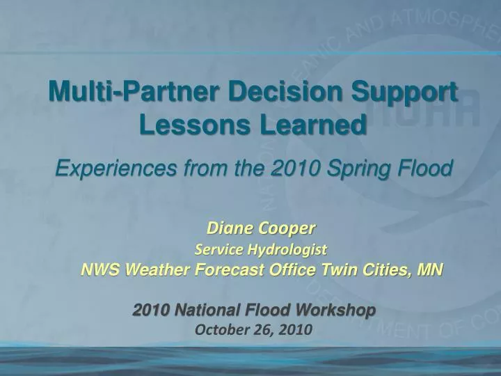
Multi-Partner Decision Support Lessons Learned Experiences from the 2010 Spring Flood. Diane Cooper Service Hydrologist NWS Weather Forecast Office Twin Cities, MN. 2010 National Flood Workshop October 26, 2010. Discussion Points. Setting the Stage Pre-Flood Decision Support

E N D
Multi-Partner Decision Support Lessons Learned Experiences from the 2010 Spring Flood Diane CooperService Hydrologist NWS Weather Forecast Office Twin Cities, MN 2010 National Flood Workshop October 26, 2010
Discussion Points • Setting the Stage • Pre-Flood Decision Support • Decision Support during the Flood • Evaluation of Partner Survey Results • Lessons Learned
Setting the Stage • Key Factors • Very wet soils & high river levels prior to freeze up - Oct was 200% to 300% + of normal . • High Snow Water Equivalents (SWE) of 3 to 5 in – rivaling 1997 and 2001 levels (Flood of Records in Upper Minnesota Valley). • Snow Depths were deceiving at near to slightly below normal in East Central MN. Bulk of precipitation fell between early Dec through Mid Jan.
Pre-Flood Decision Support With the moist frozen soils, thick river ice and an above normal water in the snowpack….by mid January ingredients were coming together for a widespread Spring Flood! Minor Flood Outlook as of 2/19 • Actions taken: • Coordinated with Local, State and Federal partners a month before the official Feb 19th “Spring Flood Outlook” was released. • Hosted briefings at regional-quarterly county emergency manager (EM) meetings (Mid to Late Jan). • Contacted communities of “higher concern” via EM (7 total). • Local city meetings • Toured flood problem areas and reviewed impacts • Explained river probabilistic outlooks – highlighted the probability to see “known” impacts and top 5 historic floods • Discussed local actions, preparations, and sensitive concerns • Coordinated with Minnesota State Homeland Security (HSEM) for “Flood Fight workshops” in Feb. Unlike the Red River Valley, it had been approx 9 years since a significant widespread flood impacted the Minnesota and upper Mississippi Rivers.
Pre-Flood Decision Support Toped Rating Curve Actions taken (cont): • Briefed navigation industry at USCG Workshop • Retooled MN Flood Briefing Webpage • Created an “Enhanced Spring Flood Outlook Webpage” • Indicated probability to see “key” impacts and top 5 historical floods; color coded by flood category. “Perspective for “how bad it could be.” • Extensive coordination with Key State and Federal partners. • Extra Snow cores and ice reports • Extension of rating curves at “sensitive locations” • Reservoir Spring Drawdown schedules • Mississippi River at St Paul, MN • Likelihood of Flood Categories • 90% -MinorFlood Stage (above norm) • 86% – Moderate Flood Stage (above norm ) • 65% – Major Flood Stage (above norm) • Likelihood of Impacts • 60% - 18 ft-Warner Road impassable . • 61% - 17.5 ft -Harriet Island submerges • 83% - 14.0 ft- Lilydale residential area begins to flood
The Flood Begins!!! • Second week in March (10th– 12th)- Strong Low ushered very warm air in from the Southeast . • Snowpack eroded from east to west. • Rain on snow situation with widespread 0.5 to 1.0 in and pockets of up to 2.5 in. • Triggered an atypical rapid melt….2 weeks ahead of normal. Significant flood with 16 locations seeing a top ten or higher event and 5 experiencing a top 5 historical crest.
Decision Support During the Event • Issued “typical NWS” hydrology products (issued flood warnings early…up to 7 days in advance). • Began Email briefings on 3/9 and Webinars on 3/11. Long duration event - provide a blend of both through March. • Recruited MN DNR Area Hydrologists and EM’s to be “eyes in the field“ for flowing of tiles, standing water and remaining snow piles, ice jams and flood impacts. • Webpage headlines asking for public ice jam reports and pictures. • Areal photos from National Operational Hydrologic Remote Sensing Center(NOHRSC) and Civil Air Patrol (CAP) flights. Henderson 3/5/10 MN Tile Network 3/11/10 S Fork Crow River 3/20/10
Decision Support During the Event Granite Falls, MN (3/23/10) • NWS ”NCRFCAgencies” and “MPX” Chat used extensively with “key” partners and media. • Espotter for general reports. • NOHRSC provided processed satellite imagesfor overland flooding and breakout detection. • Long duration “polygon” areal flood warnings for “streams” and main stem rivers. • depicted “true” extent of flooding • highlighted non-forecast point impacts and road closures (7 of 11 bridges closed on the Minnesota river for 50 mi) Break out flow Break outs in Granite Falls – road eroded.
Decision Support During the Event HPC 6hr QPF Confidence Intervals • Updated/added new impacts as reported. • In weeks following, used HPC QPF Confidence Intervals and NCRFC contingency river forecasts. • Provide insight for impacts of additional rain. • Key concern was when to dismantle temporary levees, reopen roads, etc. • Ex – Easter weekend: Henderson wanted to remove the flood walls… was that a good choice given tight budgets and an approaching storm? River Contingencies 4/1/10 Forecast Not for Public Release.
What Did the Partners Think? Formal OMB survey (#0648-0342) conducted in June to obtain feedback on partner satisfaction. Strategy with this flood was an early preemptive approach. We used a variety of strategies to display information and provide decision support. What worked and what did not? Survey was sent to 180 partners. Responses from 42 individuals/user groups. This was at least a 23% response rate, as several state partners provided a single response. Most used meteorology and hydrology in their daily duties and 84% attended a flood outlook briefing or used the probabilistic forecast to make pre-flood decisions. • Decisions made prior to the flood: • We pre-staged flood supplies and had plans in place; we were much better prepared thanks to you! (County Partner) • The Flood Outlooks allowed us to prepare road closures more efficiently so we could keep them open as long as safely possible. (State Partner)
What Did the Partners Think – Webinars and Email Briefings? The NWS Website/AHPS pages, the Flood Briefing page, as well as the email and webinar briefings were the most common methods to obtain information. All the responders attended either a webinar or used the email briefing, 81% preferred a blend of both. • Comments on the webinars and email briefings: • They were specific and gave me enough information for maintaining a plan of action if necessary (State partner) • Some days I just didn't have time to attend the webinar ;so having the email options was helpful. I prefer the webinar as hearing a description helped me understand what graphs or other data meant. (County Partner) • Both are important. Once in the field, the e-mails were more valuable simply from an access point of view (no time for the webinars then). (Federal Partner)
What Did the Partners Think – Areal Flood Warning? A new strategy was used with the issuance of the Areal Flood Warning to show the broader impact of river flooding along the main stem rivers vs. simply the River Point Flood Warnings. Seventy-nine percent indicated that this product was of value. Of the 79%, over half said that including road closure information was helpful. (MN DOT 511 website does not include county and township roads)
Lessons Learned for Future Events • Decision support is becoming increasingly important on all levels. • Partners need new ways to access information from both an office and field environment. Mobile friendly options was a common request. • Pre-Flood briefings and Workshops were of great benefit. It provided them a head start to ensure all parties understood their roles and strategic actions and tactical resources that would likely be needed. • Be more proactive to identify and work with key city and county leaders for each forecast location to ensure they understood the potential flood. • Look for strategies to make the probabilistic graphics more intuitive including plotting the impacts and historical floods on the graph and provide the actual probabilities (i.e. numbers). “I continue to be very impressed with the level of service provided by the Chanhassen office.” (State Partner)
Acknowledgements • Rich Hebert, WFO Twin Cities and Tim Szeliga, NOHRSC – Assistance with the Processing of the TM MODIS Images. • Ryan Alueck, student volunteer - Compilation of Survey responses. • Sarah Brabson, NOAA HQ - Assistance with the Survey. Special Thanks to the WFO Twin Cities and NCRFC staffs as well as our federal and state partners for the team effort in the success of the forecasts and warnings to this event!!!
Contact Information Diane Cooper Service Hydrologist NWS WFO - Twin Cities, MN 952-368-2542 Diane.Cooper@noaa.gov